1 Radcliffe Road, Belfast
27 reports on record since December 2019 · 17 with photographs. The most-reported address on Radcliffe Road. Indicative rating valuation and school zones, hazards, bin day and what stood here before.
What gets reported here
- Graffiti — 13
- Graffiti on a fence, building or structure — 2
- Graffiti on a bus stop or public toilet — 2
- General Request — 2
- Rubbish/Recycling — 1
- Roading/Streets — 1
Photographed here 17 on record



Reported here
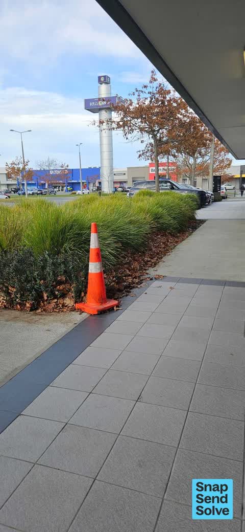
 Pavement - General —
 The leaves get put here rather than removing the leaves. Its great for mulch but in reality the wind blows the leaves back into the paths
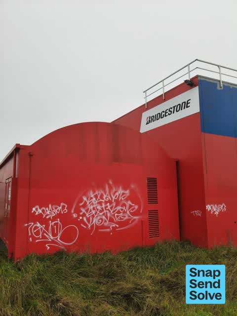
 Graffiti on a fence, building or structure —
 Grafitti getting worse on exterior of Northwood Supa Centa. Previously this has been removed - but remains for 3 months now - so more grafit
 Graffiti on a fence, building or structure —
 Grafitti all along large retail/ business for 3 weeks.
 Graffiti on a bus stop or public toilet —
 Graffiti on the side of Bus stop 15342
 Graffiti on a sign, mural or public art —
 Railway asset.
 Graffiti on a bus stop or public toilet —
 Graffiti on bus stop 15342 was not there at 7:15am today.
 General Request —
 Hello. I regularly cycle on the rail corridor cycleway to Northwood and the motorway cycleway to Kaiapoi. Both are excellent and safe. Howev
 Graffiti somewhere else —
 Along railway line back of shopping center
 Graffiti on a playground or in a park —
 Graffiti is in reserve on corner of Styx Mill Road and Regents Park Drive on the side of Styx Mill over bridge. Paint used is same as other
 Graffiti —
 Northwood Supa Centa complex - green utility box in carpark outside Hacey Normsn store
 Graffiti —
  Flooding —
 Looks to be a burst irrigation pipe. Not sure if this is council land or a SupaCentre problem? Anyway, it’s gushing litres and litres by the
- Graffiti —
- Graffiti —
- Poles and Signage - General —
- Graffiti —
- Graffiti —
- Graffiti —
- Graffiti —
- Graffiti —
- Graffiti —
- General Request —
 Graffiti —
 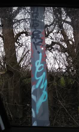 Graffiti —
 on light pole between bridge stone and tin shed
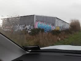 Graffiti —
 on grey tin shed
Rubbish/Recycling —
plastic bags full of plant material of some sort. they've been there for about a week or so
Roading/Streets —
fire hydrant cover has sunk and continued driving over by cars and truck is making it worse, soon the lid will break.
Also reported on Radcliffe Road
- 303 Radcliffe Road — 24 reports
- 155 Radcliffe Road — 17 reports
- 120R Radcliffe Road — 16 reports
- 140 Radcliffe Road — 15 reports
- 132 Radcliffe Road — 14 reports
- 45 Radcliffe Road — 10 reports
- 60 Radcliffe Road — 9 reports
- 135 Radcliffe Road — 9 reports
The street’s crash record
NZTA’s record names Radcliffe Road in 34 crashes that hurt somebody since 2006 — 11 seriously hurt, nobody killed.
The green nearby
- O'neill Reserve — 254 m to the edge
- Styx River Conservation Reserve — 338 m to the edge · 11 ha
- Styx River Esplanade Reserve No. 2 — 418 m to the edge · Regional
- Foley Reserve — 482 m to the edge
Parks within half a kilometre, measured to the boundary — the council’s open data.
On the doorstep
- Midas — 16 m away · Car repair
- Bridgestone — 53 m away · Tyre shops
- Lighting Plus — 58 m away · Lighting
- Pizza Hut Northwood — 62 m away · Fast food
Businesses within four hundred metres, measured at the pin — OpenStreetMap and the council directories.
The bus nearby
The closest Metro stops, within four hundred and fifty metres.
The tracks through here
- Walk and bike track through Belfast — 70 m to the line · walk · bike
- Walk and bike track through Belfast — 216 m to the line · walk · bike
Tracks whose line passes within half a kilometre, measured to the line itself — the council’s open data.
The named ground
Named water within 500 m of this address, measured to the line or the edge; Named places within 1.5 km of this address — the open map’s record.
Renting nearby
new bonds in Belfast ran about $610 a week — $60 above the city median of $550 — the suburb page keeps the rent record →.
The civic layer
This ground votes in Harewood ward — the Fendalton-Waimairi-Harewood community board. Ward lines don’t always follow suburb lines; this one is measured at the pin, not the suburb’s centre.
What stood on this ground → · On the map → · From the air — the Crown’s aerials back to 1936; search the address on RetroLens →
Questions, answered briefly
27 council reports on record since December 2019 — most often graffiti (13), graffiti on a fence, building or structure (2), graffiti on a bus stop or public toilet (2).
Belfast, Christchurch — on Radcliffe Road.
Nothing on the heritage register at this exact spot — the record around this ground →
O'neill Reserve — 254 m to its edge.