39 Keighleys Road, Bromley
17 reports on record since June 2016 · 15 with photographs. The street’s heaviest record is 41 Keighleys Road — 58 reports on file. Indicative rating valuation and school zones, hazards, bin day and what stood here before.
What gets reported here
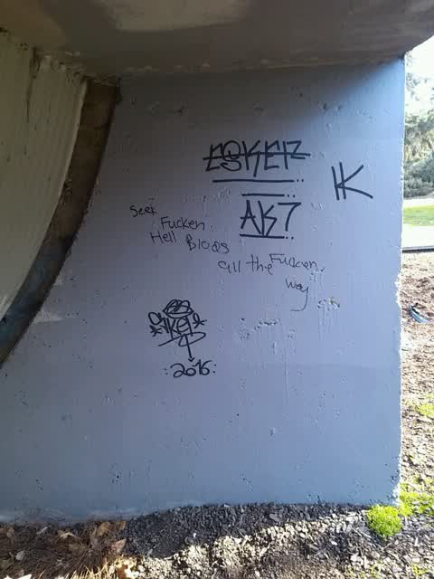
- Graffiti — 5
- Parks — 3
- Park - General Request — 3
- Rubbish/Recycling — 2
- Flooding — 2
- Water Leak — 1
Photographed here 15 on record


Reported here
 Damaged Street Sign —
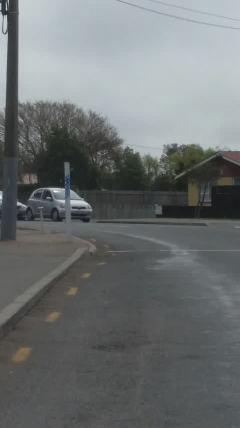
 Pole for Kea crossing flag (outside Bromley School) has been attached to paving stones, which are insecure and have lifted. In strong winds,
 Park - General Request —
 Someone has pulled this plant out of the ground.
 Flooding —
 Flooded area, no rainfall.
 Park - General Request —
 Hi Peter Freeth I have been trying to report the water seepage from the ground in the Forsyth reserve in Bromley road so far no response fro
 Water Leak —
 Assume it's an irrigation line in middle of park
 Flooding —
 The water leak in the Forsyth reserves off keilieghs Rd fresh water oseing out of the ground.
- Park - General Request —
- Graffiti —
 Graffiti —
  Parks —
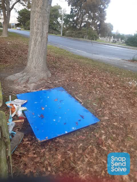
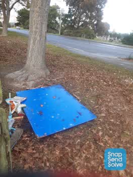
 Rubbish
Parks —
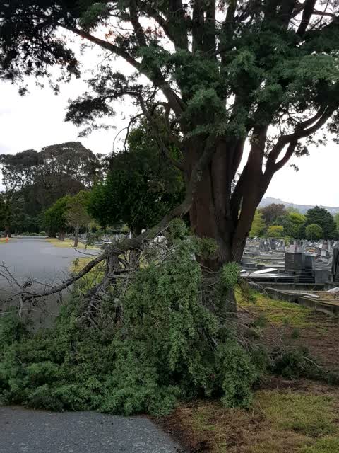
Broken branch
Graffiti —
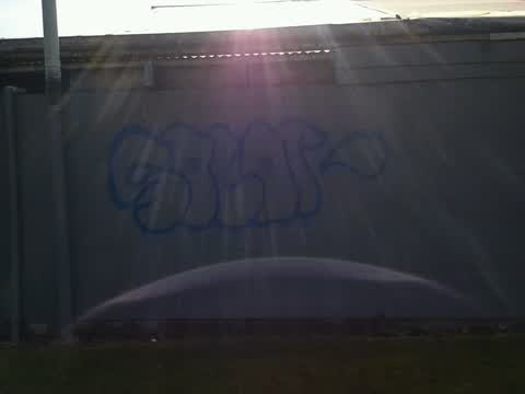
Blue graffiti on white wooden pole
Graffiti —
Parks —
Rubbish/Recycling —
Rubbish/Recycling —
Graffiti —
Also reported on Keighleys Road
- 41 Keighleys Road — 58 reports
- 128 Keighleys Road — 39 reports
- 33 Keighleys Road — 13 reports
- 29 Keighleys Road — 12 reports
- 59 Keighleys Road — 11 reports
- 43 Keighleys Road — 9 reports
- 65 Keighleys Road — 5 reports
- 55 Keighleys Road — 5 reports
The street’s crash record
NZTA’s record names Keighleys Road in 18 crashes that hurt somebody since 2006 — 2 seriously hurt, nobody killed.
The green nearby
- Cypress Garden Reserve — you are in it · Sports ground · 4 ha
- Bromley Old School Reserve — 220 m to the edge · 2 ha
Parks within half a kilometre, measured to the boundary — the council’s open data.
The civic shelf nearby
- Bromley Cemetery — 42 m away · Cemetery
- Ruru Lawn Cemetery — 153 m away · Cemetery
Libraries, halls and the rest within half a kilometre — the council’s open data.
On the doorstep
- Monthly Market Day — 356 m away · Markets
- Glenbyre Tavern — 390 m away · Bars & pubs
- Glenbyre Liquor Centre — 398 m away · Bottle stores
Businesses within four hundred metres, measured at the pin — OpenStreetMap and the council directories.
The bus nearby
- Bromley Rd near Raymond Rd — 347 m away · route 155
- Bromley Rd near Raymond Rd — 371 m away · route 155
The closest Metro stops, within four hundred and fifty metres.
The tracks through here
- Walk and bike track through Bromley — 476 m to the line · walk · bike
Tracks whose line passes within half a kilometre, measured to the line itself — the council’s open data.
The remembered names nearby
- With Loving Memories of Raymond Davies 1987 — 186 m away ·
WITH LOVING MEMORIES OF RAYMOND DAVIES 1987
· 2009 - Rest Awhile With Shona Davies — 187 m away ·
REST AWHILE WITH SHONA DAVIES
· 2009 - To the Memory — 236 m away ·
TO THE MEMORY OF (text unclear on bench edge)
· 2009
Inscribed plaques within two hundred and fifty metres — the register’s pins, not surveyed spots. The whole roll is at /plaques.
Renting nearby
new bonds in Bromley ran about $560 a week — $10 above the city median of $550 — the suburb page keeps the rent record →.
The civic layer
This ground votes in Linwood ward — the Coastal-Burwood-Linwood community board. Ward lines don’t always follow suburb lines; this one is measured at the pin, not the suburb’s centre.
What stood on this ground → · On the map → · From the air — the Crown’s aerials back to 1936; search the address on RetroLens →
Questions, answered briefly
17 council reports on record since June 2016 — most often graffiti (5), parks (3), park - general request (3).
Bromley, Christchurch — on Keighleys Road.
Nothing on the heritage register at this exact spot — the record around this ground →
Cypress Garden Reserve — the address is inside it, 4 ha.