560 Linwood Avenue, Bromley
21 reports on record since February 2016 · 10 with photographs. The street’s heaviest record is 701 Linwood Avenue — 141 reports on file. Indicative rating valuation and school zones, hazards, bin day and what stood here before.
What gets reported here
- Dumped Rubbish — 6
- Roading/Streets — 4
- Graffiti — 3
- General Request — 2
- Street Light Outage — 1
- Rubbish/Recycling — 1
Photographed here 10 on record



Reported here
 Dumped Rubbish —
 lounge chair in the river
- Overgrown Vegetation —
Along the edge of bicycle path in the planted area, fleabane (Conyza sumatrensis) has taken over the area and is spilling on to the bike pat
 Dumped Rubbish —
 Dumped tyre in the planted verge
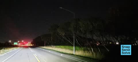
 Street Light Outage —
 A whole lot of street lights not working on Linwood Ave from Dyers Road to Humphreys Drive. Since Monday 4 days ago.
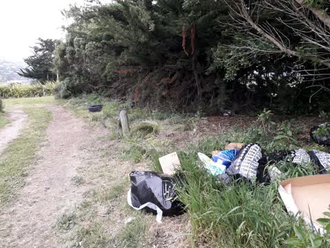
 Dumped Rubbish —
 Bags of garden rubbish dumped by the side of the walkway
- Hazard — vehicle —
- Dumped Rubbish —
- Dumped Rubbish —
- Litter —
- Dumped Rubbish —
- General Request —
- Graffiti —
- Graffiti —
- General Request —
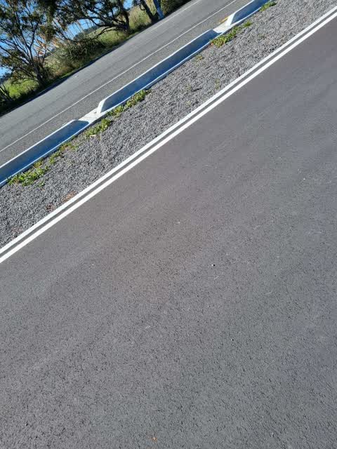
 Roading/Streets —
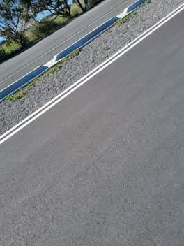
 Glass on cycleway
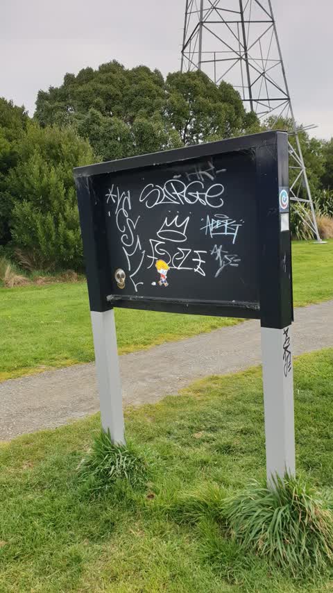
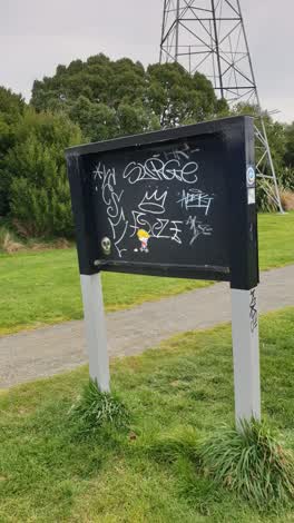 Graffiti —
 Rubbish/Recycling —
Parks —
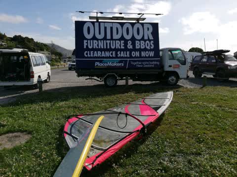
Huge blooming advert truck taking up THREE badly needed carparks for windsurfers. Please inform adtrucks.co.nz to park elsewhere
Roading/Streets —
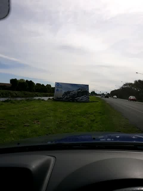
This advertisement on council land must be illegal. It is very large and has been mowed around by council staff. Been there about two weeks.
Roading/Streets —
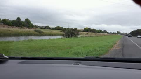
Why do these grassed areas only get partly mown. Linwood Ave between Dyers road and Windsurf Park is a disgrace. And it is the same betwe
- Roading/Streets —
Broken glass on street and in cycleway
Also reported on Linwood Avenue
- 701 Linwood Avenue — 141 reports
- 429 Linwood Avenue — 36 reports
- 434A Linwood Avenue — 25 reports
- 487 Linwood Avenue — 18 reports
- 427 Linwood Avenue — 15 reports
- 434 Linwood Avenue — 13 reports
- 359 Linwood Avenue — 12 reports
- 379A Linwood Avenue — 9 reports
The street’s crash record
NZTA’s record names Linwood Avenue in 107 crashes that hurt somebody since 2006 — 1 person killed, 29 seriously hurt.
The green nearby
- Charlesworth Reserve — 41 m to the edge · Regional · 24 ha
- Ti Rakau Reserve — 59 m to the edge · 3 ha
- Windsports Park — 266 m to the edge · Regional · 4 ha
Parks within half a kilometre, measured to the boundary — the council’s open data.
The bus nearby
- Ti Rakau Dr near Kestrel Pl — 349 m away · route 140
- Ti Rakau Dr near Shearwater Dr — 382 m away · route 140
The closest Metro stops, within four hundred and fifty metres.
The tracks through here
- Walk and bike track through Bromley — 16 m to the line · walk · bike
- Walk and bike track through Bromley — 53 m to the line · walk · bike
- Walk and bike track through Bromley — 54 m to the line · walk · bike
- Walk and bike track through Bromley — 111 m to the line · walk · bike
- Walk and bike track through Bromley — 126 m to the line · walk · bike
Tracks whose line passes within half a kilometre, measured to the line itself — the council’s open data.
The named ground
Named water within 500 m of this address, measured to the line or the edge; the council’s own structure register — bridges, boardwalks and steps standing nearby — the open map’s record.
Renting nearby
new bonds in Bromley ran about $560 a week — $10 above the city median of $550 — the suburb page keeps the rent record →.
The civic layer
This ground votes in Heathcote ward — the Spreydon-Cashmere-Heathcote community board. Ward lines don’t always follow suburb lines; this one is measured at the pin, not the suburb’s centre.
What stood on this ground → · On the map → · From the air — the Crown’s aerials back to 1936; search the address on RetroLens →
Questions, answered briefly
21 council reports on record since February 2016 — most often dumped rubbish (6), roading/streets (4), graffiti (3).
Bromley, Christchurch — on Linwood Avenue.
Nothing on the heritage register at this exact spot — the record around this ground →
Charlesworth Reserve — 41 m to its edge, 24 ha.