110 Grahams Road, Burnside
14 reports on record since September 2015 · 11 with photographs. The street’s heaviest record is 195A Grahams Road — 19 reports on file. Indicative rating valuation and school zones, hazards, bin day and what stood here before.
What gets reported here
Photographed here 11 on record


Reported here
- Animal - Deceased —
Dead baby bird on footpath
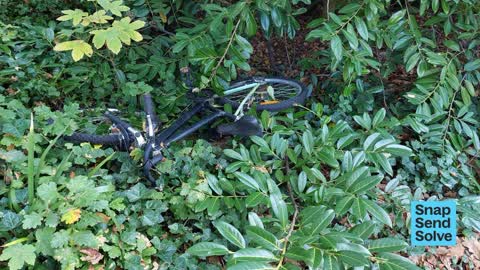
 Dumped Rubbish —
 Abandoned bicycle in bushes. Flay Park, semi visible from footpath. There is other rubbish in the bushes just along from there, including an
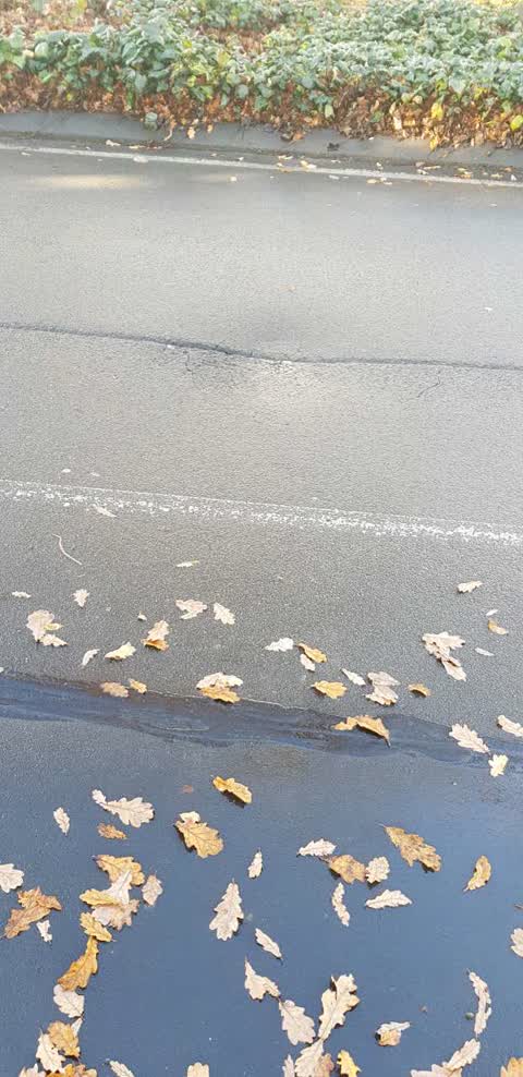
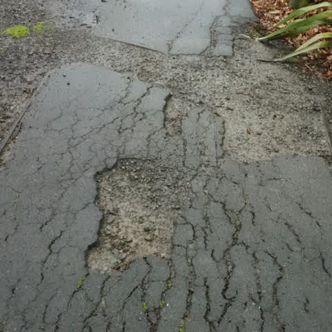
 Pavement - Damaged —
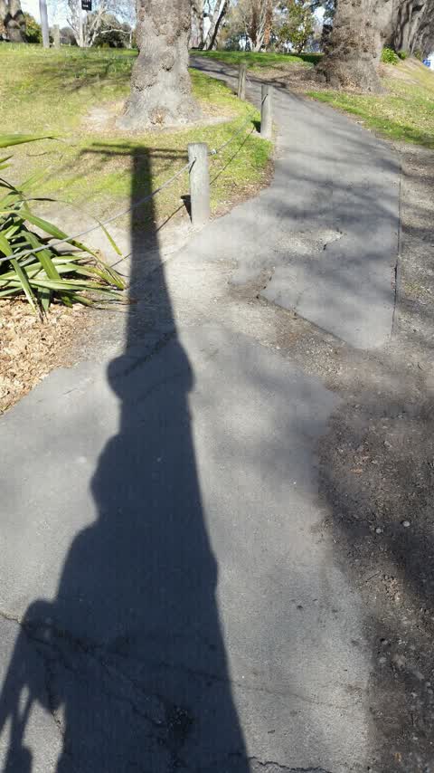
 The bike path / pedestrian walking path in Flay Park on Grahams Road is missing a large horizontal strip of concrete so when children bike o
- Traffic Signals —
Traffic lights are very short causing congestion down grahams road. Wasn’t like this prior a few weeks ago
 Animal - Deceased —
 Dead pigeon, there’s also another dead pigeon closer to the unofficial footpath on the grass lower down.
 Animal - Deceased —
 Dead pigeon next to footpath
- Pothole —
Potholes on the west bound side of the road. May be causing wheel alignment issues
 Damaged Road —
 Pothole 5-6cm deep, nearly took .y front tyre our, but we're OK.
 Rubbish and Bins - General —
 City council rubbish bin in Flay Park overflowing with garbag, and damaged
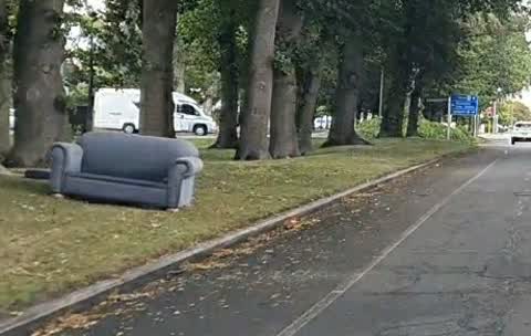
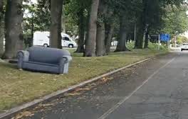 Rubbish/Recycling —
 Dumped couch
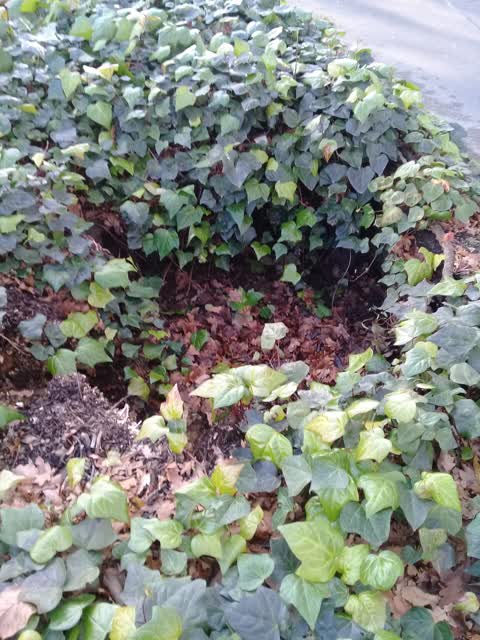
Roading/Streets —
Sink hole
Roading/Streets —
Big hole in round on median outside no127 Grahams rd. Hole is undermining curbing so may need an engineer to check.
Roading/Streets —
Footpath cracked and uneven both sides of road
Roading/Streets —
Pavement not repaired after Enable Fibre work
Also reported on Grahams Road
- 195A Grahams Road — 19 reports
- 195 Grahams Road — 19 reports
- 92 Grahams Road — 14 reports
- 129 Grahams Road — 8 reports
- 93 Grahams Road — 7 reports
- 73 Grahams Road — 5 reports
- 58 Grahams Road — 5 reports
- 160 Grahams Road — 5 reports
The street’s crash record
NZTA’s record names Grahams Road in 89 crashes that hurt somebody since 2006 — 1 person killed, 23 seriously hurt.
The green nearby
- Flay Park — you are in it · Botanic · 1 ha
- Grahams Road Berms — 24 m to the edge
- Parkham Reserve — 49 m to the edge
- Witbrock Reserve — 203 m to the edge
- Thurleston Reserve — 224 m to the edge
Parks within half a kilometre, measured to the boundary — the council’s open data.
The bus nearby
- Memorial Ave near Grahams Rd — 229 m away · route 29
- Memorial Ave near Grahams Rd — 258 m away · route 29
The closest Metro stops, within four hundred and fifty metres.
The tracks through here
- Walk and bike track through Burnside — 47 m to the line · walk · bike
- Walk and bike track through Burnside — 72 m to the line · walk · bike
- Walk and bike track through Burnside — 248 m to the line · walk · bike
- Walk and bike track through Burnside — 464 m to the line · walk · bike
Tracks whose line passes within half a kilometre, measured to the line itself — the council’s open data.
The named ground
Named water within 500 m of this address, measured to the line or the edge; the council’s own structure register — bridges, boardwalks and steps standing nearby — the open map’s record.
Renting nearby
new bonds in Burnside ran about $641 a week — $91 above the city median of $550 — the suburb page keeps the rent record →.
The civic layer
This ground votes in Fendalton ward — the Fendalton-Waimairi-Harewood community board. Ward lines don’t always follow suburb lines; this one is measured at the pin, not the suburb’s centre.
What stood on this ground → · On the map → · From the air — the Crown’s aerials back to 1936; search the address on RetroLens →
Questions, answered briefly
14 council reports on record since September 2015 — most often roading/streets (4), animal - deceased (3), traffic signals (1).
Burnside, Christchurch — on Grahams Road.
Nothing on the heritage register at this exact spot — the record around this ground →
Flay Park — the address is inside it, 1 ha.