389 New Brighton Road, Burwood
21 reports on record since December 2015 · 18 with photographs. The street’s heaviest record is 309 New Brighton Road — 49 reports on file. Indicative rating valuation and school zones, hazards, bin day and what stood here before.
What gets reported here
- Graffiti — 17
- Water General — 1
- Street Gutters / Storm Water — 1
- Roads - General — 1
- Litter — 1
Photographed here 18 on record




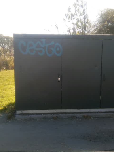
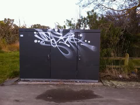
Reported here
 Water General —
 Leaking fire hydrant
 Street Gutters / Storm Water —
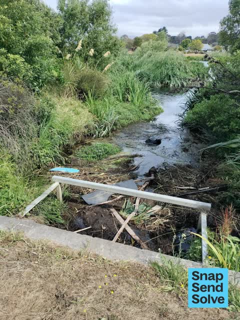
 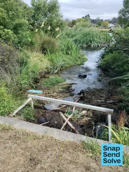 Litter —
 Rubbish in waterway that joins into Avon
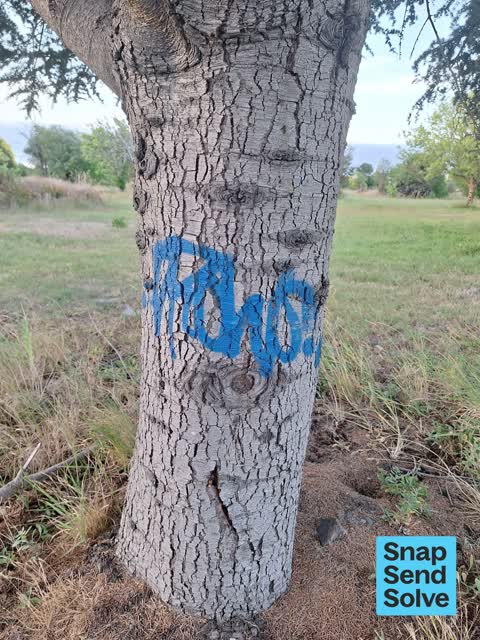
 Graffiti —
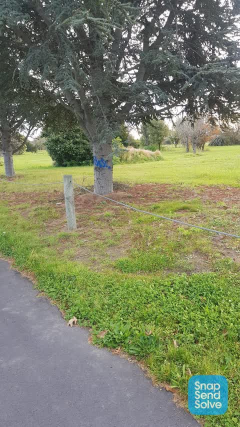
  Graffiti —
  Graffiti —
  Graffiti —
  Graffiti —
 - Roads - General —
- Graffiti —
- Graffiti —
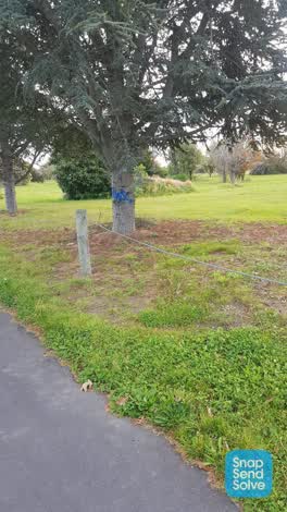 Graffiti —
 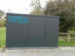 Graffiti —
 Graffiti —
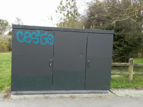
There is more tagging on the utility box at this address.
Graffiti —
Graffiti —
Graffiti —
Graffiti —
Graffiti —
Graffiti —
Graffiti —
Also reported on New Brighton Road
- 309 New Brighton Road — 49 reports
- 393 New Brighton Road — 38 reports
- 85 New Brighton Road — 33 reports
- 348 New Brighton Road — 27 reports
- 209 New Brighton Road — 27 reports
- 75E New Brighton Road — 26 reports
- 75 New Brighton Road — 26 reports
- 189 New Brighton Road — 24 reports
The street’s crash record
NZTA’s record names New Brighton Road in 77 crashes that hurt somebody since 2006 — 1 person killed, 12 seriously hurt.
The green nearby
- Dixon Reserve — 7 m to the edge
- Amelia Rogers Reserve — 7 m to the edge · 2 ha
- Brooker Reserve — 8 m to the edge · 1 ha
- Anzac Drive Reserve — 279 m to the edge · 14 ha
- Cedarwood Reserve — 284 m to the edge · 1 ha
Parks within half a kilometre, measured to the boundary — the council’s open data.
The tracks through here
- Walk and bike track through Burwood — 1 m to the line · walk · bike
- Walk and bike track through Burwood — 8 m to the line · walk · bike
- Walk and bike track through Burwood — 55 m to the line · walk · bike
- Walk and bike track through Burwood — 94 m to the line · walk · bike
- Walk and bike track through Burwood — 151 m to the line · walk · bike
Tracks whose line passes within half a kilometre, measured to the line itself — the council’s open data.
The named ground
Named water within 500 m of this address, measured to the line or the edge; the council’s own structure register — bridges, boardwalks and steps standing nearby — the open map’s record.
The remembered names nearby
- This Footbridge / Was Opened in March 2022 — 126 m away ·
This footbridge / was opened in March 2022 / Co‑funded by the / Christchurch Earthquake Ap
· 2022 - Stephen and Rebecca Brooker Settled on 40 Acres of Land — 156 m away ·
STEPHEN AND REBECCA BROOKER SETTLED ON 40 ACRES OF LAND BETWEEN BARKERS ROAD AND BOWER AVE
· 2009
Inscribed plaques within two hundred and fifty metres — the register’s pins, not surveyed spots. The whole roll is at /plaques.
Renting nearby
new bonds in Burwood ran about $600 a week — $50 above the city median of $550 — the suburb page keeps the rent record →.
The civic layer
This ground votes in Burwood ward — the Coastal-Burwood-Linwood community board. Ward lines don’t always follow suburb lines; this one is measured at the pin, not the suburb’s centre.
What stood on this ground → · On the map → · From the air — the Crown’s aerials back to 1936; search the address on RetroLens →
Questions, answered briefly
21 council reports on record since December 2015 — most often graffiti (17), water general (1), street gutters / storm water (1).
Burwood, Christchurch — on New Brighton Road.
Nothing on the heritage register at this exact spot — the record around this ground →
Dixon Reserve — 7 m to its edge.