102 Cashel Street, Christchurch Central City
11 reports on record since February 2018 · 9 with photographs. The street’s heaviest record is 210 Cashel Street — 53 reports on file. Indicative rating valuation and school zones, hazards, bin day and what stood here before.
What gets reported here
Photographed here 9 on record


Reported here
 Graffiti on a sign, mural or public art —
Grafitti on art wall
 Rubbish and Bins - General —
Central city businesses need to be reminded when and what days to put out their rubbish bags. This is a very ugly and very common occurrence
 Graffiti —
Seating near here
- Graffiti —
- Street Cleaning —
 Graffiti —
Roading/Streets —
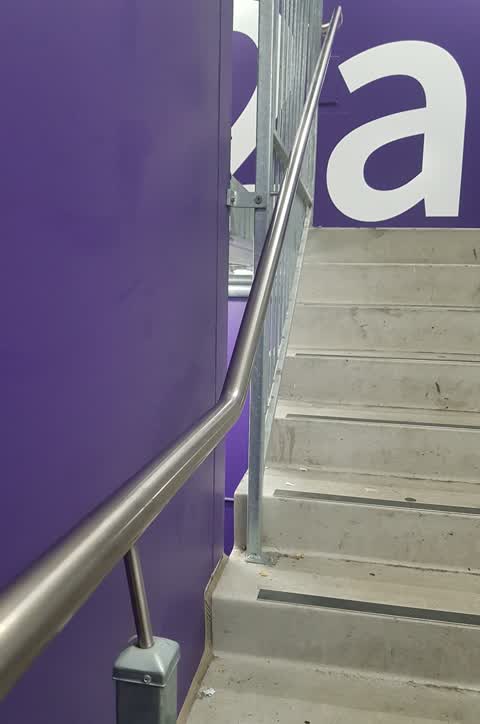
broken bannister level 2a north west corner of lichfield parking building
Roading/Streets —
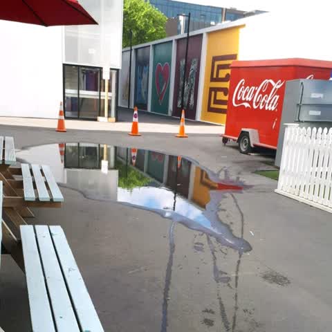
Blocked drains ?
Roading/Streets —
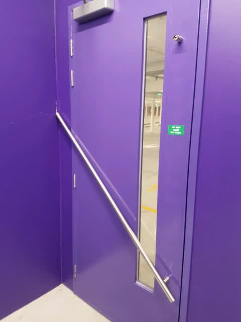
Lichfield car park building level 6 north west corner stairwell door handle broken. Urgent... damaging wall because people coming from other
Roading/Streets —
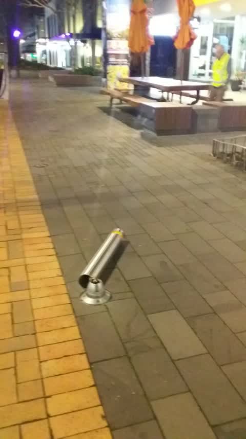
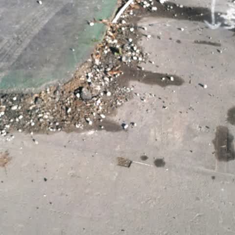
Huge uneven slab of concrete potential trip hazard.
Roading/Streets —
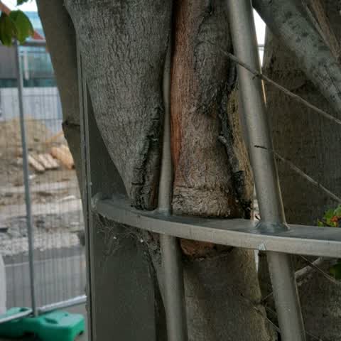
X3 trees r growing into metal surrounds. Need 2 be removed as trees robust now
Also reported on Cashel Street
- 210 Cashel Street — 53 reports
- 219 Cashel Street — 46 reports
- 202 Cashel Street — 42 reports
- 208 Cashel Street — 41 reports
- 76 Cashel Street — 39 reports
- 7 Cashel Street — 37 reports
- 135 Cashel Street — 37 reports
- 75 Cashel Street — 34 reports
The street’s crash record
NZTA’s record names Cashel Street in 103 crashes that hurt somebody since 2006 — 1 person killed, 9 seriously hurt.
The green nearby
- Friendship Corner — 99 m to the edge · Botanic
- Bridge Of Remembrance — 99 m to the edge · Botanic
- Tiffany Reserve — 150 m to the edge
- City Mall — 164 m to the edge
- The Stewart Plaza — 187 m to the edge
Parks within half a kilometre, measured to the boundary — the council’s open data.
The civic shelf nearby
- Triangle — 201 m away · Car park
- Re:start - Lichfield St — 211 m away · Car park
- Civic Offices — 294 m away · Council office
- Scales — 307 m away · Car park
- Turanga Library — 402 m away · Library · Cathedral Square, Christchurch
Libraries, halls and the rest within half a kilometre — the council’s open data.
On the doorstep
- 3 Wise Men — 2 m away · Clothing
- Stephenson & Turner — 3 m away · Business
- Pure Juices and Smoothies — 6 m away · Fast food
- Metromart City Mall — 8 m away · Delis
Businesses within four hundred metres, measured at the pin — OpenStreetMap and the council directories.
The bus nearby
- Bus Interchange (Intercity stop) — 219 m away · route 3, route 8, route 80
- Bus Interchange (Platform B) — 249 m away · route 1, route 7, route 8, route 27, route 44, route 91, route 92, route 95
The closest Metro stops, within four hundred and fifty metres.
The tracks through here
- Walk and bike track through Christchurch Central City — 73 m to the line · walk · bike
- Walk and bike track through Christchurch Central City — 86 m to the line · walk · bike
- Walk and bike track through Christchurch Central City — 139 m to the line · walk · bike
- Walk and bike track through Christchurch Central City — 209 m to the line · walk · bike
- Walk and bike track through Christchurch Central City — 228 m to the line · walk · bike
Tracks whose line passes within half a kilometre, measured to the line itself — the council’s open data.
The named ground
Named water within 500 m of this address, measured to the line or the edge; Named places within 1.5 km of this address; the council’s own structure register — bridges, boardwalks and steps standing nearby — the open map’s record.
The remembered names nearby
- Friendship Corner / Sister Cities — 102 m away ·
FRIENDSHIP CORNER / Sister Cities / (list largely illegible on inlay)
· 2010 - Foundation Stone Laid 25th April 1923 by His Excellency — 105 m away ·
FOUNDATION STONE LAID 25TH APRIL 1923 BY HIS EXCELLENCY VISCOUNT JELLICOE GOVERNOR-GENERAL
· 2009 - Friendship Corner plaque — 105 m away ·
(illegible – triangular emblem plaque)
· 2010
Inscribed plaques within two hundred and fifty metres — the register’s pins, not surveyed spots. The whole roll is at /plaques.
Renting nearby
new bonds in Christchurch Central City ran about $508 a week — $42 below the city median of $550 — the suburb page keeps the rent record →.
What was here — Bridge of Remembrance and Setting
121 m away · 88 Cambridge Terrace · located to ±27 m · the place’s own record →
On the register. Nothing researched here yet.
What was here — Hereford Street Bridge
166 m away · 71 Hereford Street · located to ±24 m · the place’s own record →
On the register. Nothing researched here yet.
What was here — Former Dwelling and Setting
166 m away · 95 Oxford Terrace · located to ±18 m · the place’s own record →
On the register. Nothing researched here yet.
What was here — Former Beaths Department Store (components)
172 m away · 201/690 Colombo Street · located to ±21 m · the place’s own record →
On the register. Nothing researched here yet.
What was here — Mill Island and Setting
186 m away · 71 Hereford Street · located to ±19 m · the place’s own record →
On the register. Nothing researched here yet.
The civic layer
This ground votes in Central ward — the Papanui-Innes-Central community board. Ward lines don’t always follow suburb lines; this one is measured at the pin, not the suburb’s centre.
What stood on this ground → · On the map → · From the air — the Crown’s aerials back to 1936; search the address on RetroLens →
Questions, answered briefly
11 council reports on record since February 2018 — most often roading/streets (5), graffiti (3), street cleaning (1).
Christchurch Central City, Christchurch — on Cashel Street.
The heritage register names 5 places at or beside it — Bridge of Remembrance and Setting, Hereford Street Bridge.
Friendship Corner — 99 m to its edge.