170 Hereford Street, Christchurch Central City
14 reports on record since April 2019 · 12 with photographs. The street’s heaviest record is 53 Hereford Street — 125 reports on file. Indicative rating valuation and school zones, hazards, bin day and what stood here before.
What gets reported here
Photographed here 12 on record





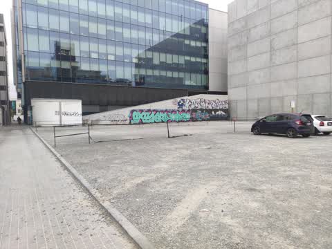
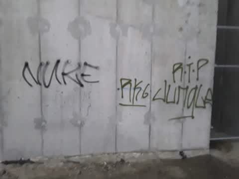
Reported here
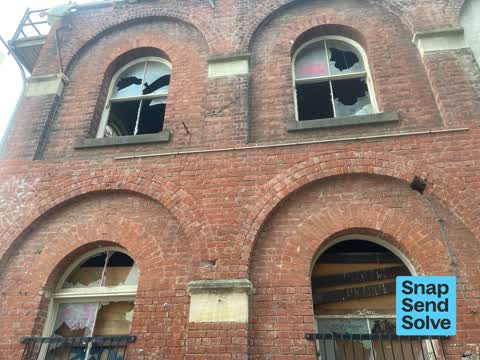
 Pavement - General —
Glass above public footpath is broken. Extremely dangerous.
 Road Signage —
loading zone sign facing wrong way
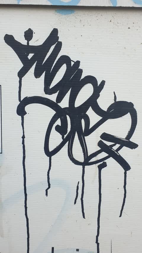
 Graffiti on a fence, building or structure —
black graffiti on pole
 Graffiti somewhere else —
 Graffiti somewhere else —
 Pavement - General —
Glass just fell out as I was walking past
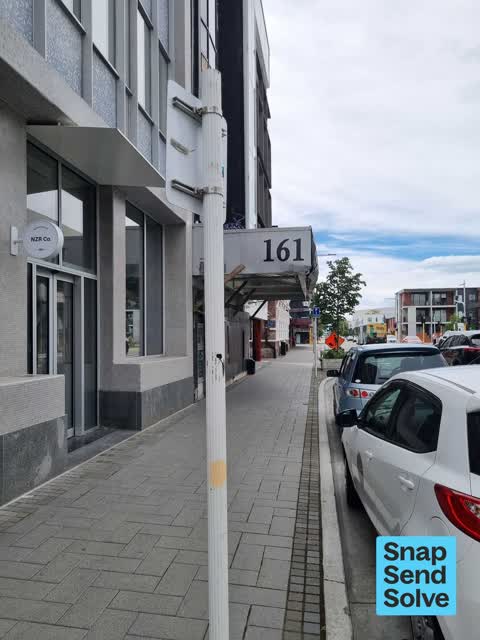
 Graffiti —
161 Hereford street.
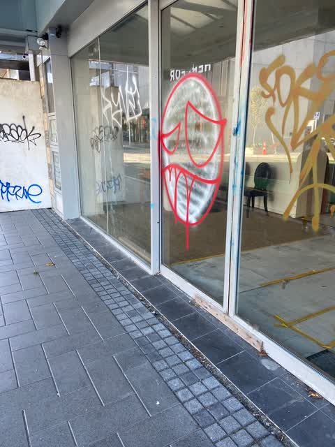
 Graffiti —
different colours of graffiti on building window/entrance
- Graffiti —
- Graffiti —
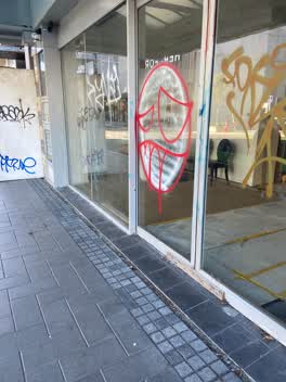 Graffiti —
Paint tags galore a real eyesore at 161 Hereford Street.
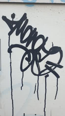 Graffiti —
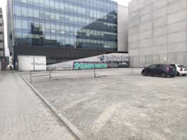 Graffiti —
Back of carpark.may need waterblasting.bare concrete.
Also reported on Hereford Street
- 53 Hereford Street — 125 reports
- 71 Hereford Street — 91 reports
- 48 Hereford Street — 76 reports
- 197 Hereford Street — 62 reports
- 141 Hereford Street — 62 reports
- 262 Hereford Street — 59 reports
- 214 Hereford Street — 53 reports
- 147 Hereford Street — 46 reports
The street’s crash record
NZTA’s record names Hereford Street in 154 crashes that hurt somebody since 2006 — 1 person killed, 25 seriously hurt.
The green nearby
- City Mall — 108 m to the edge
- High Street Triangles — 129 m to the edge
- The Stewart Plaza — 149 m to the edge
- Cathedral Square — 157 m to the edge · Botanic
- Godley Statue Reserve — 253 m to the edge · Botanic
Parks within half a kilometre, measured to the boundary — the council’s open data.
The civic shelf nearby
- Triangle — 159 m away · Car park
- Turanga Library — 263 m away · Library · Cathedral Square, Christchurch
- Re:start - Lichfield St — 373 m away · Car park
Libraries, halls and the rest within half a kilometre — the council’s open data.
On the doorstep
- Consular Office of Japan in New Zealand — 23 m away · Diplomatic
- Mexico — 54 m away · Restaurants
- Breakfree On Cashel — 56 m away · Hotels
- Mexico Restaurant — 56 m away · Restaurants
Businesses within four hundred metres, measured at the pin — OpenStreetMap and the council directories.
The bus nearby
The closest Metro stops, within four hundred and fifty metres.
The tracks through here
- Walk and bike track through Christchurch Central City — 61 m to the line · walk · bike
- Walk and bike track through Christchurch Central City — 148 m to the line · walk · bike
- Walk and bike track through Christchurch Central City — 324 m to the line · walk · bike
- Walk and bike track through Christchurch Central City — 351 m to the line · walk · bike
- Walk and bike track through Christchurch Central City — 377 m to the line · walk · bike
Tracks whose line passes within half a kilometre, measured to the line itself — the council’s open data.
The named ground
Named water within 500 m of this address, measured to the line or the edge; Named places within 1.5 km of this address; the council’s own structure register — bridges, boardwalks and steps standing nearby — the open map’s record.
The remembered names nearby
- Te Kiheru Wai o Tahu / the Canoe Bailer of Tahu / 2015 — 123 m away ·
Te Kiheru Wai o Tahu / The Canoe Bailer of Tahu / 2015 / (MÄori text and English translat
· 2015 - In Memory of / Jaime Robert McDowell Gilbert — 245 m away ·
IN MEMORY OF / JAIME ROBERT MCDOWELL GILBERT / WHO LOST HIS LIFE / AT THIS LOCATION IN THE
· 2018
Inscribed plaques within two hundred and fifty metres — the register’s pins, not surveyed spots. The whole roll is at /plaques.
Renting nearby
new bonds in Christchurch Central City ran about $508 a week — $42 below the city median of $550 — the suburb page keeps the rent record →.
What was here — 167 Hereford Street
38 m away · 167 Hereford Street · located to ±11 m · the place’s own record →
On the register. Nothing researched here yet.
What was here — Commercial Building and Setting, Former State Insurance
103 m away · 58/28 Cathedral Square · located to ±28 m · the place’s own record →
On the register. Nothing researched here yet.
What was here — Shands Emporium: Former Commercial Building
104 m away · 217 Manchester Street · located to ±6 m · the place’s own record →
On the register. Nothing researched here yet.
What was here — Former Trinity Congregational Church and Setting
115 m away · 124 Worcester Street · located to ±14 m · the place’s own record →
On the register. Nothing researched here yet.
What was here — Former Government Buildings and Setting
118 m away · 26/28 Cathedral Square · located to ±43 m · the place’s own record →
On the register. Nothing researched here yet.
The civic layer
This ground votes in Central ward — the Papanui-Innes-Central community board. Ward lines don’t always follow suburb lines; this one is measured at the pin, not the suburb’s centre.
What stood on this ground → · On the map → · From the air — the Crown’s aerials back to 1936; search the address on RetroLens →
Questions, answered briefly
14 council reports on record since April 2019 — most often graffiti (8), pavement - general (2), graffiti somewhere else (2).
Christchurch Central City, Christchurch — on Hereford Street.
The heritage register names 5 places at or beside it — 167 Hereford Street, Commercial Building and Setting, Former State Insurance.
City Mall — 108 m to its edge.