182 Hereford Street, Christchurch Central City
13 reports on record since August 2018 · 9 with photographs. The street’s heaviest record is 53 Hereford Street — 125 reports on file. Indicative rating valuation and school zones, hazards, bin day and what stood here before.
What gets reported here
- Roading/Streets — 3
- Graffiti — 2
- Street Light Outage — 1
- Roads - General — 1
- Road Signage — 1
- Pavement - General — 1
Photographed here 9 on record


Reported here
 Pavement - Damaged —
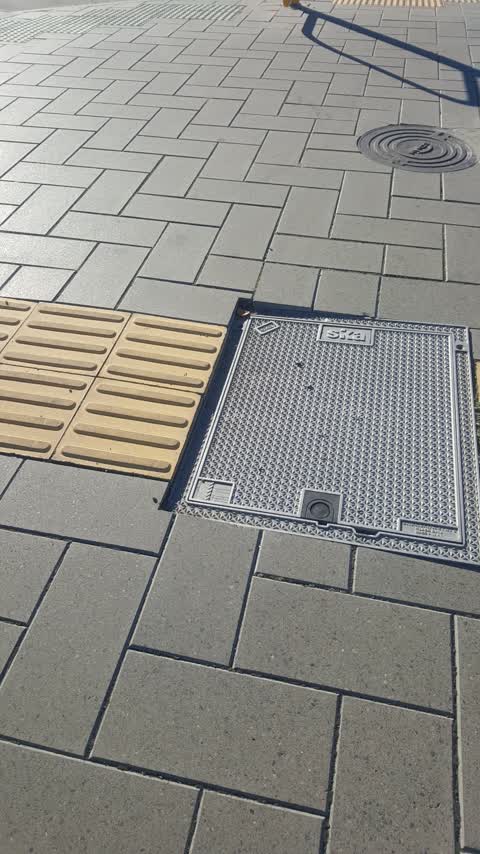
damage to paver edge batten. probably from the recent Fletcher Living building construction.
 Graffiti on a fence, building or structure —
TAGGING: On wall of Carriage Quarter (Fletchers development), corner Manchester and Hereford Streets. Also another tag on same building, Man
 Pavement - General —
Trip hazard from where sign was removed I have seen these a bit over Chch now.
 Graffiti somewhere else —
New apartments
 Accessibility —
Footpath is heavily restricted due to temp fencing making heading west needing to enter the road space at time To get around
- Roads - General —
- Road Signage —
- Graffiti —
- Graffiti —
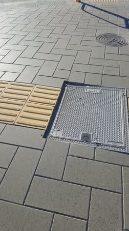 Roading/Streets —
Trip Hazard
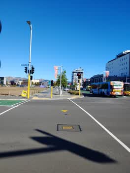 Street Light Outage —
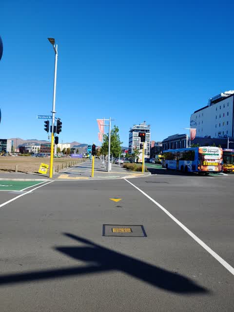
this cycle light never goes green! I've waited a number of cycles and pressed the button lots of times and it never changes to green
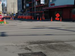 Roading/Streets —
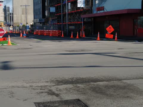
For CTOC Regulatory "No Entry" TTM sign contradicted by 2 advisory "Carpark Access Only" signs (for CCC Hereford St carpark!). Please confir
Roading/Streets —
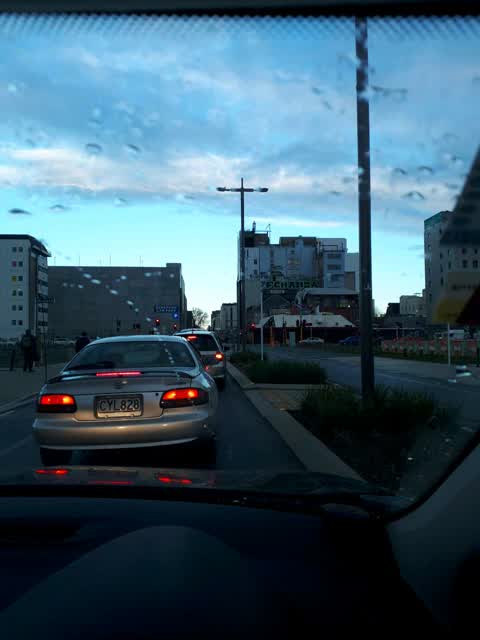
Traffic light timing not set well. Been on Hereford travelling west for 7 light changes. Green in this direction for like 2 seconds only. At
Also reported on Hereford Street
- 53 Hereford Street — 125 reports
- 71 Hereford Street — 91 reports
- 48 Hereford Street — 76 reports
- 197 Hereford Street — 62 reports
- 141 Hereford Street — 62 reports
- 262 Hereford Street — 59 reports
- 214 Hereford Street — 53 reports
- 147 Hereford Street — 46 reports
The street’s crash record
NZTA’s record names Hereford Street in 154 crashes that hurt somebody since 2006 — 1 person killed, 25 seriously hurt.
The green nearby
- City Mall — 167 m to the edge
- Latimer Square — 189 m to the edge · Botanic · 2 ha
- High Street Triangles — 190 m to the edge
- Cathedral Square — 210 m to the edge · Botanic
- The Stewart Plaza — 224 m to the edge
Parks within half a kilometre, measured to the boundary — the council’s open data.
The civic shelf nearby
- Triangle — 230 m away · Car park
- Turanga Library — 304 m away · Library · Cathedral Square, Christchurch
- Re:start - Lichfield St — 426 m away · Car park
Libraries, halls and the rest within half a kilometre — the council’s open data.
On the doorstep
- Mexico — 36 m away · Restaurants
- Mexico Restaurant — 45 m away · Restaurants
- Kensington Fun House Bar — 51 m away · Venues & events
- Consular Office of Japan in New Zealand — 54 m away · Diplomatic
Businesses within four hundred metres, measured at the pin — OpenStreetMap and the council directories.
The bus nearby
- Manchester St Super Stop — 85 m away · route 1, route 5, route 7, route 8, route 27, route 29, route 44, route 86, route 91, route 92, route 95
- Hereford St near Latimer Square — 126 m away · route 60
The closest Metro stops, within four hundred and fifty metres.
The tracks through here
- Walk and bike track through Christchurch Central City — 14 m to the line · walk · bike
- Walk and bike track through Christchurch Central City — 129 m to the line · walk · bike
- Walk and bike track through Christchurch Central City — 357 m to the line · walk · bike
- Walk and bike track through Christchurch Central City — 371 m to the line · walk · bike
- Walk and bike track through Christchurch Central City — 372 m to the line · walk · bike
Tracks whose line passes within half a kilometre, measured to the line itself — the council’s open data.
The named ground
Named water within 500 m of this address, measured to the line or the edge; Named places within 1.5 km of this address; the council’s own structure register — bridges, boardwalks and steps standing nearby — the open map’s record.
The remembered names nearby
- Te Kiheru Wai o Tahu / the Canoe Bailer of Tahu / 2015 — 164 m away ·
Te Kiheru Wai o Tahu / The Canoe Bailer of Tahu / 2015 / (MÄori text and English translat
· 2015 - In Memory of / Jaime Robert McDowell Gilbert — 227 m away ·
IN MEMORY OF / JAIME ROBERT MCDOWELL GILBERT / WHO LOST HIS LIFE / AT THIS LOCATION IN THE
· 2018
Inscribed plaques within two hundred and fifty metres — the register’s pins, not surveyed spots. The whole roll is at /plaques.
Renting nearby
new bonds in Christchurch Central City ran about $508 a week — $42 below the city median of $550 — the suburb page keeps the rent record →.
What was here — 167 Hereford Street
59 m away · 167 Hereford Street · located to ±11 m · the place’s own record →
On the register. Nothing researched here yet.
What was here — Shands Emporium: Former Commercial Building
91 m away · 217 Manchester Street · located to ±6 m · the place’s own record →
On the register. Nothing researched here yet.
What was here — Former Trinity Congregational Church and Setting
107 m away · 124 Worcester Street · located to ±14 m · the place’s own record →
On the register. Nothing researched here yet.
What was here — Commercial Building and Setting, Former State Insurance
108 m away · 58/28 Cathedral Square · located to ±28 m · the place’s own record →
On the register. Nothing researched here yet.
What was here — Former Government Buildings and Setting
152 m away · 26/28 Cathedral Square · located to ±43 m · the place’s own record →
On the register. Nothing researched here yet.
The civic layer
This ground votes in Central ward — the Papanui-Innes-Central community board. Ward lines don’t always follow suburb lines; this one is measured at the pin, not the suburb’s centre.
What stood on this ground → · On the map → · From the air — the Crown’s aerials back to 1936; search the address on RetroLens →
Questions, answered briefly
13 council reports on record since August 2018 — most often roading/streets (3), graffiti (2), street light outage (1).
Christchurch Central City, Christchurch — on Hereford Street.
The heritage register names 5 places at or beside it — 167 Hereford Street, Shands Emporium: Former Commercial Building.
City Mall — 167 m to its edge.