202 High Street, Christchurch Central City
11 reports on record since February 2017 · 9 with photographs. The street’s heaviest record is 146 High Street — 57 reports on file. Indicative rating valuation and school zones, hazards, bin day and what stood here before.
What gets reported here
Photographed here 9 on record


Reported here
 Water General —
 Water meter cover broken, in footpath
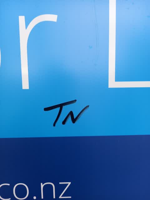
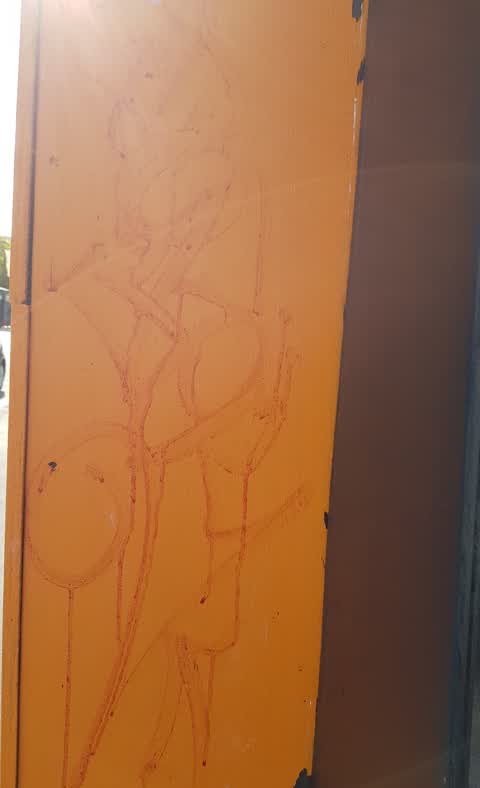
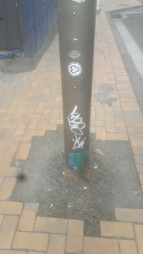
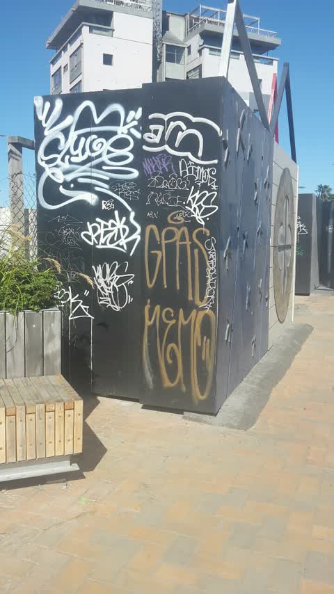
 Graffiti on a fence, building or structure —
 graffiti covering fences
 Sediment - Construction —
 Concerned about our the amount of black smoke being issued by some machinery at the building works next to muse hotel. The whole area is Smo
 Graffiti somewhere else —
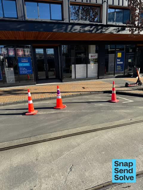
  Hazard — vehicle —
 Pylons have been placed on the road with no acknowledged traffic management plan. Location is High Street between Cashel and lichfield
- Graffiti —
- Pavement - Damaged —
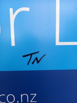 Graffiti —
 Graffiti —
Cashel street, Christchurch city.
Graffiti —
Graffiti —
On CCC art hoardings
Also reported on High Street
- 146 High Street — 57 reports
- 285 High Street — 42 reports
- 188 High Street — 41 reports
- 291F High Street — 35 reports
- 181 High Street — 34 reports
- 216 High Street — 28 reports
- 269 High Street — 26 reports
- 250 High Street — 26 reports
The street’s crash record
NZTA’s record names High Street in 8 crashes that hurt somebody since 2006 — 1 seriously hurt, nobody killed.
The green nearby
- City Mall — 92 m to the edge
- Excelsior Hotel Reserve — 105 m to the edge · Botanic
- High Street Triangles — 119 m to the edge
- The Stewart Plaza — 207 m to the edge
- Cathedral Square — 305 m to the edge · Botanic
Parks within half a kilometre, measured to the boundary — the council’s open data.
The civic shelf nearby
- Triangle — 183 m away · Car park
- Re:start - Lichfield St — 273 m away · Car park
- Turanga Library — 417 m away · Library · Cathedral Square, Christchurch
- St Asaph — 462 m away · Car park
Libraries, halls and the rest within half a kilometre — the council’s open data.
On the doorstep
- Pure Pulp Food Cart — 14 m away · Fast food
- Augustine — 20 m away · Clothing
- Limelight Online Ltd — 23 m away · Business
- Wonderlust Dessert Bar — 23 m away · Fast food
Businesses within four hundred metres, measured at the pin — OpenStreetMap and the council directories.
The bus nearby
- Bus Interchange (Platform D) — 125 m away · route 1, route 7, route 8, route 27, route 44, route 91, route 92, route 95
- Bus Interchange (Platform C) — 145 m away · route 3, route 5, route 29, route 60, route 80, route 81, route 84, route 85, route 86
The closest Metro stops, within four hundred and fifty metres.
The tracks through here
- Walk and bike track through Christchurch Central City — 46 m to the line · walk · bike
- Walk and bike track through Christchurch Central City — 187 m to the line · walk · bike
- Walk and bike track through Christchurch Central City — 250 m to the line · walk · bike
- Walk and bike track through Christchurch Central City — 302 m to the line · walk · bike
- Walk and bike track through Christchurch Central City — 424 m to the line · walk · bike
Tracks whose line passes within half a kilometre, measured to the line itself — the council’s open data.
The named ground
Named water within 500 m of this address, measured to the line or the edge; Named places within 1.5 km of this address; the council’s own structure register — bridges, boardwalks and steps standing nearby — the open map’s record.
The remembered names nearby
- Te Kiheru Wai o Tahu / the Canoe Bailer of Tahu / 2015 — 64 m away ·
Te Kiheru Wai o Tahu / The Canoe Bailer of Tahu / 2015 / (MÄori text and English translat
· 2015 - The First Public Water Supply Well Was Drilled Near This — 214 m away ·
THE FIRST PUBLIC WATER SUPPLY WELL was drilled near this site on 10 February 1864 by the C
· 2009 - ‘corgis on High’ — Christchurch City Public Artwork — 220 m away ·
‘Corgis on High’ — Christchurch City public artwork, 6 December 2003
· 2009
Inscribed plaques within two hundred and fifty metres — the register’s pins, not surveyed spots. The whole roll is at /plaques.
Renting nearby
new bonds in Christchurch Central City ran about $508 a week — $42 below the city median of $550 — the suburb page keeps the rent record →.
What was here — 159 Manchester Street
31 m away · 159 Manchester Street · located to ±14 m · the place’s own record →
On the register. Nothing researched here yet.
What was here — Commercial Building and Setting
36 m away · 225 High Street · located to ±19 m · the place’s own record →
On the register. Nothing researched here yet.
What was here — Triangle Reserve and Setting
37 m away · 192F High Street · located to ±17 m · the place’s own record →
On the register. Nothing researched here yet.
What was here — Triangle Reserve and Setting
51 m away · 220F High Street · located to ±17 m · the place’s own record →
On the register. Nothing researched here yet.
What was here — Commercial Building and Setting, Former Wellington Woollen Mills Manufacturing Company
101 m away · 96 Lichfield Street · located to ±28 m · the place’s own record →
On the register. Nothing researched here yet.
The civic layer
This ground votes in Central ward — the Papanui-Innes-Central community board. Ward lines don’t always follow suburb lines; this one is measured at the pin, not the suburb’s centre.
What stood on this ground → · On the map → · From the air — the Crown’s aerials back to 1936; search the address on RetroLens →
Questions, answered briefly
11 council reports on record since February 2017 — most often graffiti (5), water general (1), sediment - construction (1).
Christchurch Central City, Christchurch — on High Street.
The heritage register names 5 places at or beside it — 159 Manchester Street, Commercial Building and Setting.
City Mall — 92 m to its edge.