202 Oxford Terrace
4 council reports since June 2015, 4 carrying a photograph. The street’s heaviest record is 159 Oxford Terrace, 180 reports on file.
On the register here
- Armagh Street Bridge and Setting (34m)
- Canterbury Provincial Council Buildings Former Land Transfer Office, 86 Armagh Street (44m)
- Canterbury Provincial Council Buildings Courtyard/Grounds, 280 Durham Street North (62m)
- Armagh Street Kerbstones and Setting, 280A Durham Street North (67m)
- Canterbury Provincial Council Buildings, 280 Durham Street North (71m)
From the air, then
Sourced from Canterbury Maps and partners. LINZ, CC BY 3.0 NZ. Each frame is cut from Environment Canterbury’s historic imagery MapServer for that decade, only where the Footprints layer names a CC BY survey (NZAM-covered spots stay out). RetroLens holds more Crown aerials →
The green nearby
- Canterbury Provincial Council Reserve, 21 m to the edge · Botanic
- Victoria Square, 42 m to the edge · Botanic · 2 ha
- Godley Statue Reserve, 208 m to the edge · Botanic
- Cathedral Square, 211 m to the edge · Botanic
- Scott Statue Reserve, 239 m to the edge · Botanic
Parks within half a kilometre, measured to the boundary, the council’s open data. The whole roll is at /parks.
The civic shelf nearby
- Armagh Street, 175 m away · Car park
- Aldersgate, 177 m away · Car park
- Turanga Library, 223 m away · Library
- Civic Offices, 396 m away · Council office
- Triangle, 453 m away · Car park
Libraries, halls and the rest within half a kilometre, the council’s open data.
On the doorstep
- Te Pae Convention Centre, 40 m away · Business
- Ice Cream Charlie, 56 m away · Fast food
- Millie's House, 72 m away · Childcare
- Te PAE Christchurch, 79 m away · Venues & events
Businesses within four hundred metres, measured at the pin, OpenStreetMap and the council directories.
The bus nearby
- Kilmore Street Town Hall, 269 m away · route 1, route 29, route 95
- Kilmore St near Manchester St, 373 m away · route 1, route 27, route 29, route 95
The closest Metro stops, within four hundred and fifty metres.
The tracks through here
- Walk and bike track through Christchurch Central City, 11 m to the line · walk · bike
- Walk and bike track through Christchurch Central City, 31 m to the line · walk · bike
- Walk and bike track through Christchurch Central City, 121 m to the line · walk · bike
- Walk and bike track through Christchurch Central City, 211 m to the line · walk · bike
- Walk and bike track through Christchurch Central City, 238 m to the line · walk · bike
Tracks whose line passes within half a kilometre, the council’s open data.
The named ground
Named water within 500 m of this address, measured to the line or the edge; Named places within 1.5 km of this address; the council’s own structure register, bridges, boardwalks and steps standing nearby, the open map’s record.
The remembered names nearby
- Ettie Rout 1877–1936 Guardian Angel of the ANZAC, 52 m away ·
ETTIE ROUT 1877–1936 GUARDIAN ANGEL OF THE ANZAC
· 2009 - Gifted to the City by the Descendants, 65 m away ·
GIFTED TO THE CITY BY THE DESCENDANTS OF / STEPHEN AND REBECCA BROOKER / OCTOBER 1991 / BR
· 2018 - Immigration Barracks Stood on This Site in the Early 1860s, 73 m away ·
IMMIGRATION BARRACKS STOOD ON THIS SITE IN THE EARLY 1860s ...
· 2009
Inscribed plaques within two hundred and fifty metres, the register’s pins, not surveyed spots. The whole roll is at /plaques.
Renting nearby
new bonds in Christchurch Central City ran about $508 a week, $42 below the city median of $550, the suburb page keeps the rent record →.
What gets reported here
- Roading/Streets, 2
- Graffiti, 2
Photographed here 4 on record
What’s on record
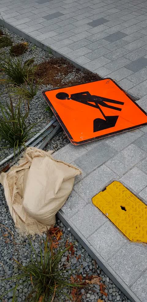
Roading/Streets, 10 Mar 2019
I'm starting to think we need a new approach to traffic management in the city with regard to picking up and taking away this rubbish when i
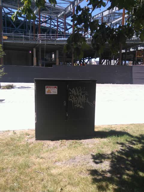
Graffiti, 18 Feb 2019
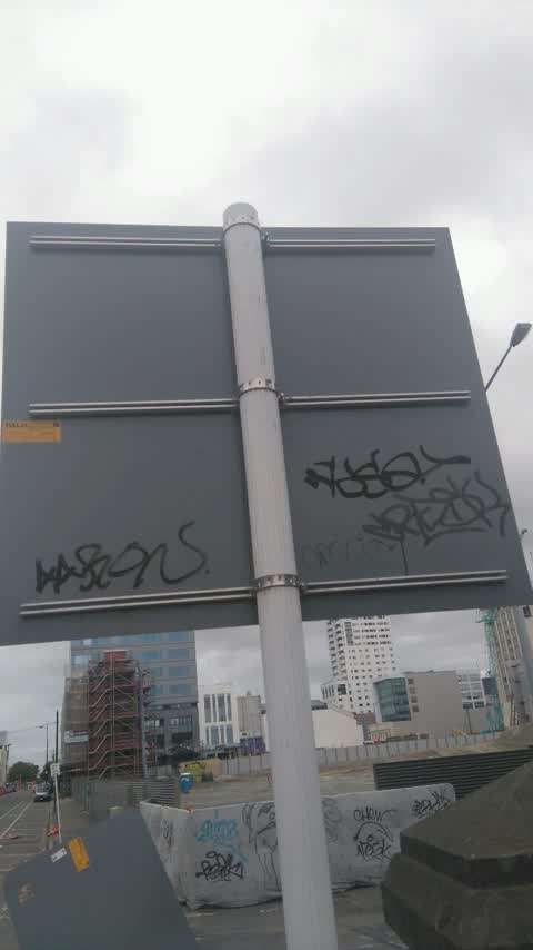
Graffiti, 18 Mar 2017
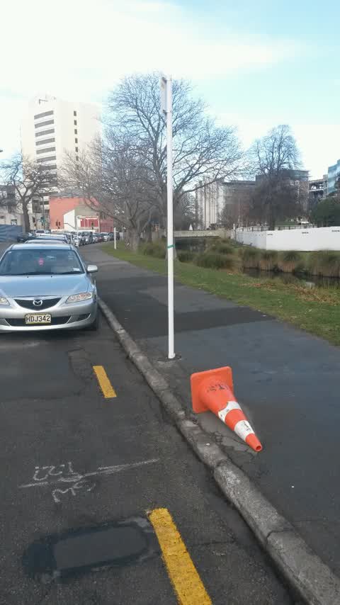
Roading/Streets, 29 Jun 2015
As per my knowledge river side of Oxford terrace between Gloucester and Armagh has been made free parking, meters are taken out..... Signs n
Elsewhere on Oxford Terrace
- 159 Oxford Terrace, 180 reports
- 153 Oxford Terrace, 174 reports
- 95 Oxford Terrace, 126 reports
- 211 Oxford Terrace, 126 reports
- 182 Oxford Terrace, 122 reports
- 184 Oxford Terrace, 109 reports
- 294 Oxford Terrace, 92 reports
- 152 Oxford Terrace, 87 reports
The street’s crash record
NZTA’s record names Oxford Terrace in 56 crashes that hurt somebody since 2006, 1 person killed, 11 seriously hurt.
The civic layer
This ground votes in Central ward, the Papanui-Innes-Central community board is its local layer. Ward lines don’t always follow suburb lines; this one is measured at the pin, not the suburb’s centre. The whole roll is at /wards.
Oxford Terrace, the whole record → · Everything about Christchurch Central City → · What stood on this ground → · On the map → · From the air, RetroLens holds the Crown’s aerials back to 1936; search the address there →
Questions, answered briefly
4 council reports on record since June 2015, most often roading/streets (2), graffiti (2).
Christchurch Central City, Christchurch, on Oxford Terrace.
The heritage register names 5 places at or beside it, Armagh Street Bridge and Setting, Canterbury Provincial Council Buildings Former Land Transfer Office.
Canterbury Provincial Council Reserve, 21 m to its edge.