264 Gloucester Street, Christchurch Central City
12 reports on record since June 2016 · 9 with photographs. The street’s heaviest record is 267 Gloucester Street — 108 reports on file. Indicative rating valuation and school zones, hazards, bin day and what stood here before.
What gets reported here
Photographed here 9 on record


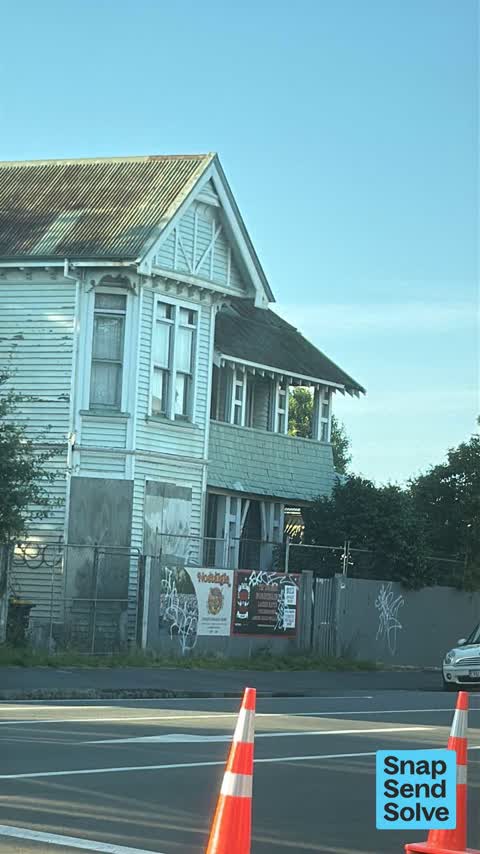


Reported here
 Graffiti on a traffic light pole or cabinet, or wa —
graffiti on traffic light pole
 Graffiti on a fence, building or structure —
 Graffiti on a fence, building or structure —
Graffiti on fence
 Road Signage —
I'm not aware of a Barboes St anywhere in Christchurch . . . :^)
 Graffiti —
Orion
 Graffiti —
- Graffiti —
- Graffiti —
- Roads - General —
 Graffiti —
Black paint tag on concrete lamp pole on the corner of Barbadoes and Gloucester Streets.
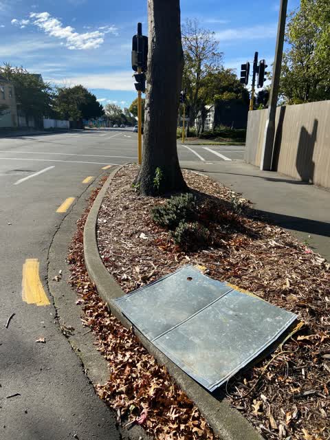
 Rubbish/Recycling —
Sheet metal (old road signage?) dumped on the verge by the corner of Barbadoes and Gloucester Street needs removal.
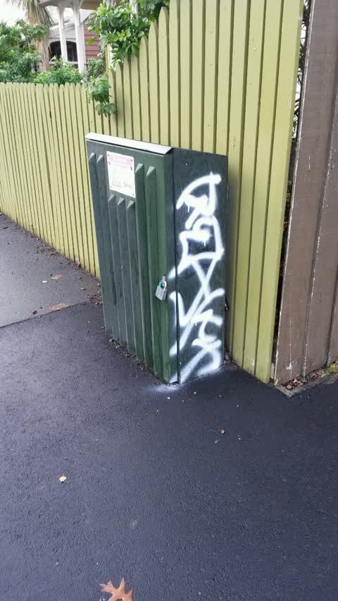
Graffiti —
Orion box
Also reported on Gloucester Street
- 267 Gloucester Street — 108 reports
- 89 Gloucester Street — 88 reports
- 278 Gloucester Street — 69 reports
- 194 Gloucester Street — 64 reports
- 146 Gloucester Street — 60 reports
- 195 Gloucester Street — 53 reports
- 332 Gloucester Street — 50 reports
- 192 Gloucester Street — 44 reports
The street’s crash record
NZTA’s record names Gloucester Street in 111 crashes that hurt somebody since 2006 — 4 people killed, 18 seriously hurt.
The green nearby
- Latimer Square — 209 m to the edge · Botanic · 2 ha
- Chester Street East Reserve — 225 m to the edge
- Poplars Reserve — 364 m to the edge · Botanic
- Fire Fighters Reserve — 402 m to the edge
- Cambridge Reserve — 430 m to the edge
Parks within half a kilometre, measured to the boundary — the council’s open data.
On the doorstep
- Urban Rooms — 20 m away · Apartments
- 298 Youth Health Centre — 33 m away · Doctors & clinics
- Around The World Backpackers — 72 m away · Hostels
- Armagh Automotive — 107 m away · Car repair
Businesses within four hundred metres, measured at the pin — OpenStreetMap and the council directories.
The bus nearby
- Gloucester St near Barbadoes St — 81 m away · route 5, route 7
- Gloucester St near Barbadoes St — 104 m away · route 5, route 7
The closest Metro stops, within four hundred and fifty metres.
The tracks through here
- Walk and bike track through Christchurch Central City — 127 m to the line · walk · bike
- Walk and bike track through Christchurch Central City — 279 m to the line · walk · bike
- Walk and bike track through Christchurch Central City — 322 m to the line · walk · bike
- Walk and bike track through Christchurch Central City — 354 m to the line · walk · bike
- Walk and bike track through Christchurch Central City — 369 m to the line · walk · bike
Tracks whose line passes within half a kilometre, measured to the line itself — the council’s open data.
The named ground
Named water within 500 m of this address, measured to the line or the edge; Named places within 1.5 km of this address; the council’s own structure register — bridges, boardwalks and steps standing nearby — the open map’s record.
The remembered names nearby
- Thanks to / Käinga ORA — 209 m away ·
Thanks to / KÄinga Ora / for their contribution to this seat / and the local community
- Afac — 217 m away ·
afac / (dedication text illegible – backlit)
· 2013
Inscribed plaques within two hundred and fifty metres — the register’s pins, not surveyed spots. The whole roll is at /plaques.
Renting nearby
new bonds in Christchurch Central City ran about $508 a week — $42 below the city median of $550 — the suburb page keeps the rent record →.
What was here — Dwelling and Setting
104 m away · 229 Worcester Street · located to ±10 m · the place’s own record →
On the register. Nothing researched here yet.
The civic layer
This ground votes in Central ward — the Papanui-Innes-Central community board. Ward lines don’t always follow suburb lines; this one is measured at the pin, not the suburb’s centre.
What stood on this ground → · On the map → · From the air — the Crown’s aerials back to 1936; search the address on RetroLens →
Questions, answered briefly
12 council reports on record since June 2016 — most often graffiti (6), graffiti on a fence, building or structure (2), rubbish/recycling (1).
Christchurch Central City, Christchurch — on Gloucester Street.
The heritage register names a place at or beside it — Dwelling and Setting.
Latimer Square — 209 m to its edge, 2 ha.