301 Madras Street, Christchurch Central City
20 reports on record since September 2017 · 16 with photographs. The street’s heaviest record is 153 Madras Street — 73 reports on file. Indicative rating valuation and school zones, hazards, bin day and what stood here before.
What gets reported here
- Graffiti — 16
- Roading/Streets — 3
- Parks — 1
Photographed here 16 on record
Reported here
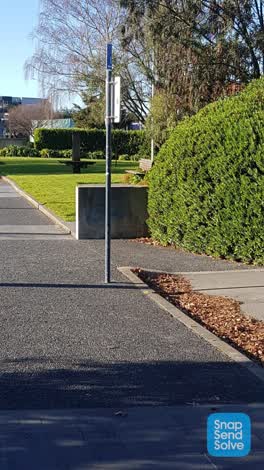 Graffiti —
- Roading/Streets —
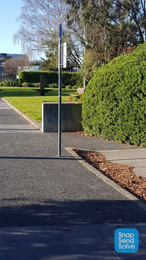
When the pedestrian crossing light is green, the light for the cars turning right from Killmore Street to Madras street is also green. Unfor
- Roading/Streets —
When the pedestrian crossing light is green, the light for the cars turning right from Killmore Street to Madras street is also green. Unfor
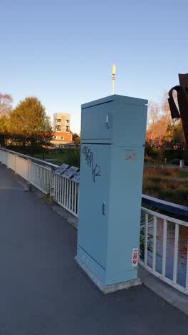 Graffiti —
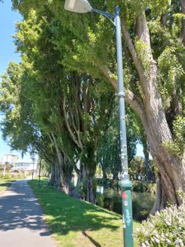 Graffiti —
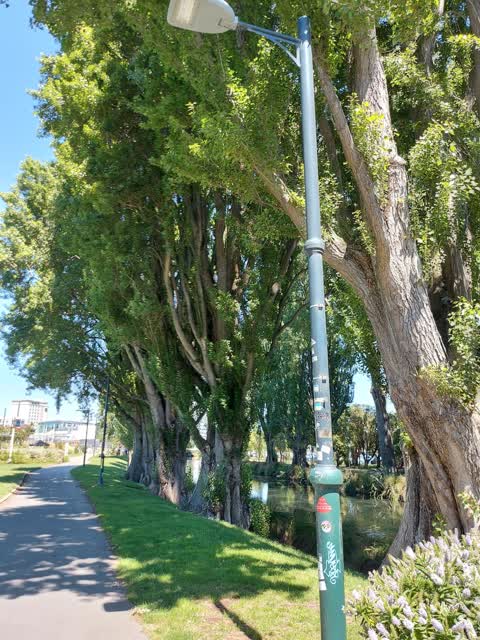
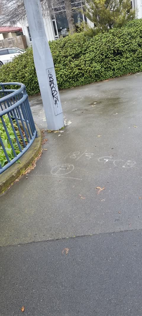
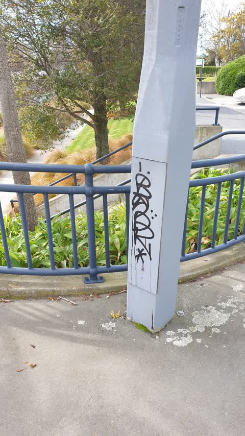
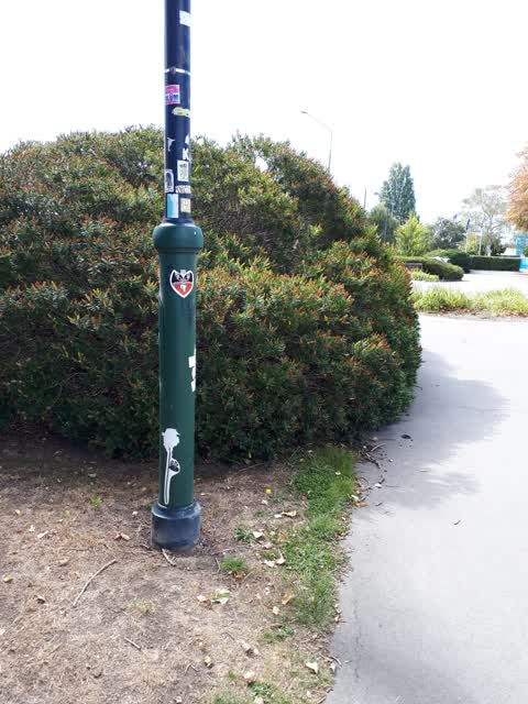
Graffiti on street light edge of Margaret Mahey park by Madras street. Some painted and lots of stickers.
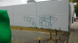 Graffiti —
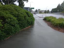 Roading/Streets —
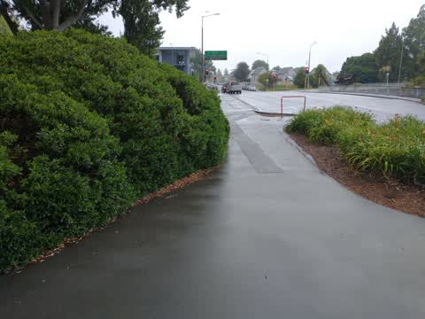
Overgrown bushes. Getting worse since last report
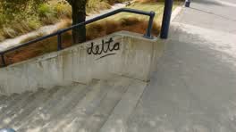 Graffiti —
- Graffiti —
Somebody tried/pulled the battery from the lime bike, noticed after/as i put it on the fooypath. Someone cleared their throat
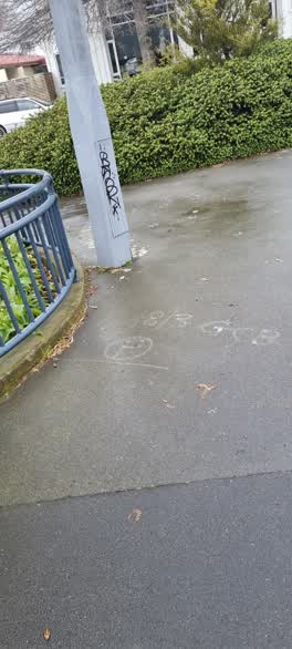 Graffiti —
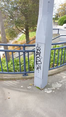 Graffiti —
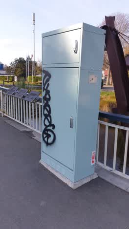 Graffiti —
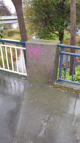 Graffiti —
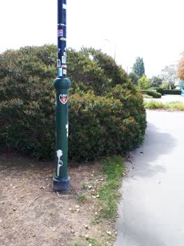 Graffiti —
stickers on metal ight pole at margret mayhe Mars street entrance
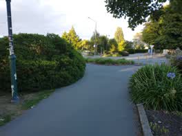 Parks —
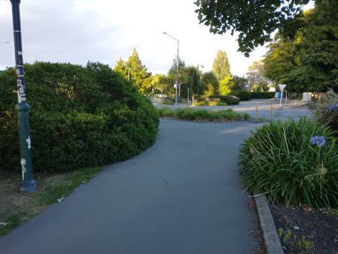
overgrown bush blocks path and sight line of people and cyclist turning corner
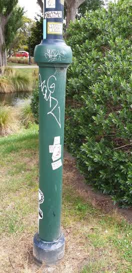 Graffiti —
- Graffiti —
on lamp post opp firefighters res in margret mayhe playground madras st
Graffiti —
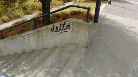
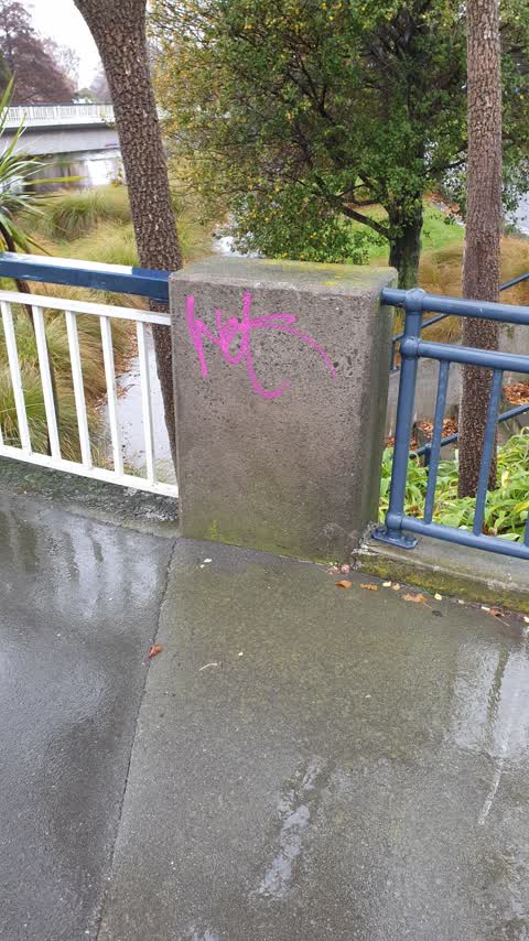
NW side of bridge
Graffiti —
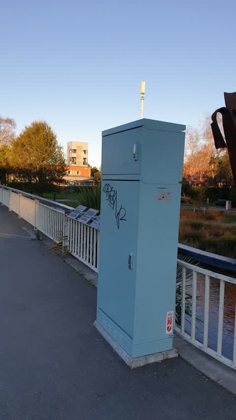
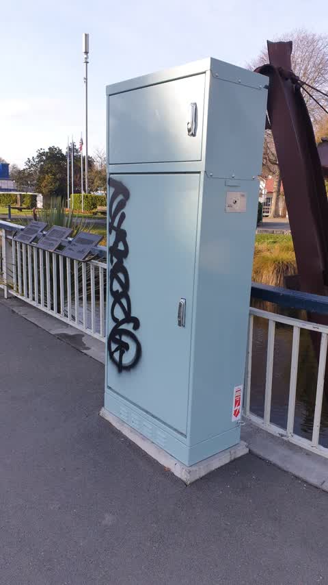
2 x items on Madras Bridge near Kilmore St (daughters school had a graffitti talk that encouraged them to report to council so she is wantin
Graffiti —
Also reported on Madras Street
- 153 Madras Street — 73 reports
- 169 Madras Street — 50 reports
- 145 Madras Street — 49 reports
- 282 Madras Street — 37 reports
- 160 Madras Street — 35 reports
- 163 Madras Street — 32 reports
- 281 Madras Street — 29 reports
- 167 Madras Street — 28 reports
The street’s crash record
NZTA’s record names Madras Street in 161 crashes that hurt somebody since 2006 — 17 seriously hurt, nobody killed.
The green nearby
- Fire Fighters Reserve — 13 m to the edge
- Poplars Reserve — 17 m to the edge · Botanic
- Cambridge Reserve — 17 m to the edge
- Edmonds Band Rotunda — 266 m to the edge · Botanic
- Avon Riverbank Central City — 316 m to the edge · 6 ha
Parks within half a kilometre, measured to the boundary — the council’s open data.
On the doorstep
- Pillars Cafe — 35 m away · Cafés
- Christchurch Sea Kayaking — 141 m away · Attractions
- Foley Towers — 175 m away · Hostels
- Table at Monks — 182 m away · Restaurants
Businesses within four hundred metres, measured at the pin — OpenStreetMap and the council directories.
The bus nearby
- Manchester St near Kilmore St — 247 m away · route 1, route 27, route 29, route 44, route 91, route 92, route 95
- Manchester St near Kilmore St — 248 m away · route 44, route 91, route 92
The closest Metro stops, within four hundred and fifty metres.
The tracks through here
- Walk and bike track through Christchurch Central City — 2 m to the line · walk · bike
- Walk and bike track through Christchurch Central City — 19 m to the line · walk · bike
- Walk and bike track through Christchurch Central City — 42 m to the line · walk · bike
- Walk and bike track through Christchurch Central City — 72 m to the line · walk · bike
- Walk and bike track through Christchurch Central City — 118 m to the line · walk · bike
Tracks whose line passes within half a kilometre, measured to the line itself — the council’s open data.
The named ground
Named water within 500 m of this address, measured to the line or the edge; Named places within 1.5 km of this address; the council’s own structure register — bridges, boardwalks and steps standing nearby — the open map’s record.
The remembered names nearby
- City Care — 18 m away ·
city care (logo paving stone)
· 2009 - John Rhind Funeral Directors Since 1881 — 30 m away ·
JOHN RHIND Funeral Directors Since 1881 ... a continuing family tradition
· 2009 - Planted by / National League / of Mothers — 31 m away ·
PLANTED BY / NATIONAL LEAGUE / OF MOTHERS / TO COMMEMORATE 65 / YEARS IN NEW ZEALAND / 192
· 2009
Inscribed plaques within two hundred and fifty metres — the register’s pins, not surveyed spots. The whole roll is at /plaques.
Renting nearby
new bonds in Christchurch Central City ran about $508 a week — $42 below the city median of $550 — the suburb page keeps the rent record →.
What was here — Edmonds Clock Tower, Telephone Cabinet and Setting
68 m away · 295F Madras Street · located to ±15 m · the place’s own record →
On the register. Nothing researched here yet.
What was here — Dwellings and Setting
113 m away · 86 Chester Street East · located to ±15 m · the place’s own record →
On the register. Nothing researched here yet.
What was here — Dwellings and Setting
128 m away · 100 Chester Street East · located to ±13 m · the place’s own record →
On the register. Nothing researched here yet.
What was here — Poplars, Lamp Standards and Setting
on this spot · located to ±139 m · the place’s own record →
On the register. Nothing researched here yet.
What was here — Former Vicarage of the Church of St Luke the Evangelist and Setting
177 m away · 185 Kilmore Street · located to ±12 m · the place’s own record →
On the register. Nothing researched here yet.
The civic layer
This ground votes in Central ward — the Papanui-Innes-Central community board. Ward lines don’t always follow suburb lines; this one is measured at the pin, not the suburb’s centre.
What stood on this ground → · On the map → · From the air — the Crown’s aerials back to 1936; search the address on RetroLens →
Questions, answered briefly
20 council reports on record since September 2017 — most often graffiti (16), roading/streets (3), parks (1).
Christchurch Central City, Christchurch — on Madras Street.
The heritage register names 5 places at or beside it — Edmonds Clock Tower, Telephone Cabinet and Setting, Dwellings and Setting.
Fire Fighters Reserve — 13 m to its edge.