303 Madras Street, Christchurch Central City
13 reports on record since May 2022 · 9 with photographs. The street’s heaviest record is 153 Madras Street — 73 reports on file. Indicative rating valuation and school zones, hazards, bin day and what stood here before.
What gets reported here
- Graffiti — 5
- Street Gutters / Storm Water — 2
- Graffiti on a cabinet, pole or railway asset — 2
- Water Leak — 1
- Roads - General — 1
- General Request — 1
Photographed here 9 on record


Reported here
 Street Gutters / Storm Water —
Open drain
 Roads - General —
Shattered glass over the road at madras kilmore intersection
 Water Leak —
Water has been leaking onto pavement for weeks
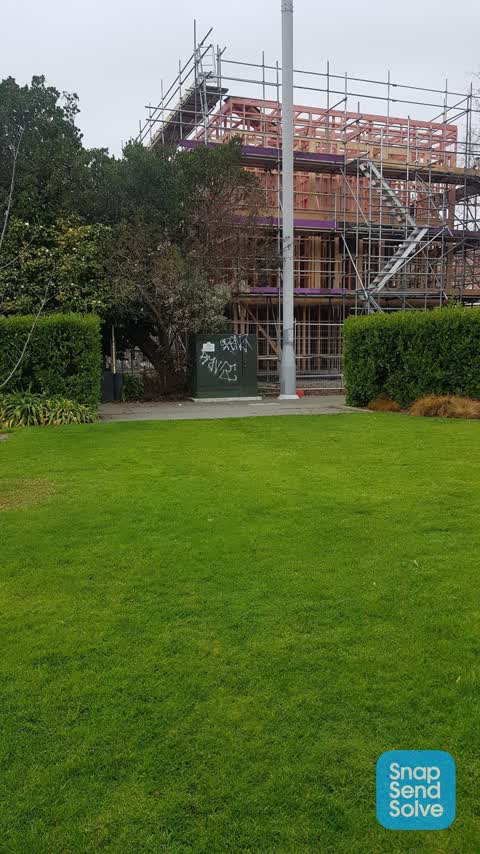
 Graffiti on a cabinet, pole or railway asset —
 Flooding —
 Graffiti on a cabinet, pole or railway asset —
- Graffiti —
- Street Gutters / Storm Water —
- Graffiti —
- General Request —
 Graffiti —
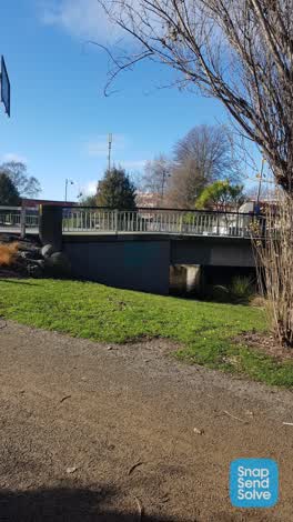 Graffiti —
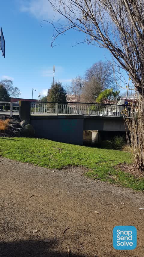
Side of bridge
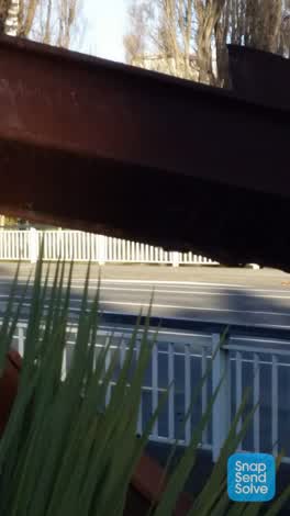 Graffiti —
9/11 memorial kilmore street. photo unclear
Also reported on Madras Street
- 153 Madras Street — 73 reports
- 169 Madras Street — 50 reports
- 145 Madras Street — 49 reports
- 282 Madras Street — 37 reports
- 160 Madras Street — 35 reports
- 163 Madras Street — 32 reports
- 281 Madras Street — 29 reports
- 167 Madras Street — 28 reports
The street’s crash record
NZTA’s record names Madras Street in 161 crashes that hurt somebody since 2006 — 17 seriously hurt, nobody killed.
The green nearby
- Cambridge Reserve — 34 m to the edge
- Fire Fighters Reserve — 64 m to the edge
- Poplars Reserve — 81 m to the edge · Botanic
- Edmonds Band Rotunda — 286 m to the edge · Botanic
- Avon Riverbank Central City — 292 m to the edge · 6 ha
Parks within half a kilometre, measured to the boundary — the council’s open data.
On the doorstep
- Pillars Cafe — 100 m away · Cafés
- Fox and Associates — 122 m away · Surveyors
- South Architects — 125 m away · Architects
- Mainland Uniforms — 135 m away · Clothing
Businesses within four hundred metres, measured at the pin — OpenStreetMap and the council directories.
The bus nearby
- Manchester St near Kilmore St — 224 m away · route 1, route 27, route 29, route 44, route 91, route 92, route 95
- Manchester St near Kilmore St — 233 m away · route 44, route 91, route 92
The closest Metro stops, within four hundred and fifty metres.
The tracks through here
- Walk and bike track through Christchurch Central City — 27 m to the line · walk · bike
- Walk and bike track through Christchurch Central City — 43 m to the line · walk · bike
- Walk and bike track through Christchurch Central City — 49 m to the line · walk · bike
- Walk and bike track through Christchurch Central City — 81 m to the line · walk · bike
- Walk and bike track through Christchurch Central City — 93 m to the line · walk · bike
Tracks whose line passes within half a kilometre, measured to the line itself — the council’s open data.
The named ground
Named water within 500 m of this address, measured to the line or the edge; Named places within 1.5 km of this address; the council’s own structure register — bridges, boardwalks and steps standing nearby — the open map’s record.
The remembered names nearby
- This Tree Was Planted / to Commemorate — 42 m away ·
THIS TREE WAS PLANTED / TO COMMEMORATE / THE 10 YEARS OF SERVICE / OF THE / ALTRUSA CLUB /
· 2009 - Planted by / National League / of Mothers — 44 m away ·
PLANTED BY / NATIONAL LEAGUE / OF MOTHERS / TO COMMEMORATE 65 / YEARS IN NEW ZEALAND / 192
· 2009 - 25th May 1991 / 25 Years in New Zealand Working — 46 m away ·
25th May 1991 / 25 years in New Zealand working / for prisoners of conscience and / politi
· 2009
Inscribed plaques within two hundred and fifty metres — the register’s pins, not surveyed spots. The whole roll is at /plaques.
Renting nearby
new bonds in Christchurch Central City ran about $508 a week — $42 below the city median of $550 — the suburb page keeps the rent record →.
What was here — Edmonds Clock Tower, Telephone Cabinet and Setting
130 m away · 295F Madras Street · located to ±15 m · the place’s own record →
On the register. Nothing researched here yet.
What was here — Former Vicarage of the Church of St Luke the Evangelist and Setting
150 m away · 185 Kilmore Street · located to ±12 m · the place’s own record →
On the register. Nothing researched here yet.
What was here — Poplars, Lamp Standards and Setting
168 m away · located to ±139 m · the place’s own record →
On the register. Nothing researched here yet.
What was here — Dwellings and Setting
180 m away · 86 Chester Street East · located to ±15 m · the place’s own record →
On the register. Nothing researched here yet.
What was here — Dwellings and Setting
191 m away · 100 Chester Street East · located to ±13 m · the place’s own record →
On the register. Nothing researched here yet.
The civic layer
This ground votes in Central ward — the Papanui-Innes-Central community board. Ward lines don’t always follow suburb lines; this one is measured at the pin, not the suburb’s centre.
What stood on this ground → · On the map → · From the air — the Crown’s aerials back to 1936; search the address on RetroLens →
Questions, answered briefly
13 council reports on record since May 2022 — most often graffiti (5), street gutters / storm water (2), graffiti on a cabinet, pole or railway asset (2).
Christchurch Central City, Christchurch — on Madras Street.
The heritage register names 5 places at or beside it — Edmonds Clock Tower, Telephone Cabinet and Setting, Former Vicarage of the Church of St Luke the Evangelist and Setting.
Cambridge Reserve — 34 m to its edge.