315 Oxford Terrace, Christchurch Central City
14 reports on record since February 2024 · 14 with photographs. The street’s heaviest record is 159 Oxford Terrace — 180 reports on file. Indicative rating valuation and school zones, hazards, bin day and what stood here before.
What gets reported here
Photographed here 14 on record






Reported here
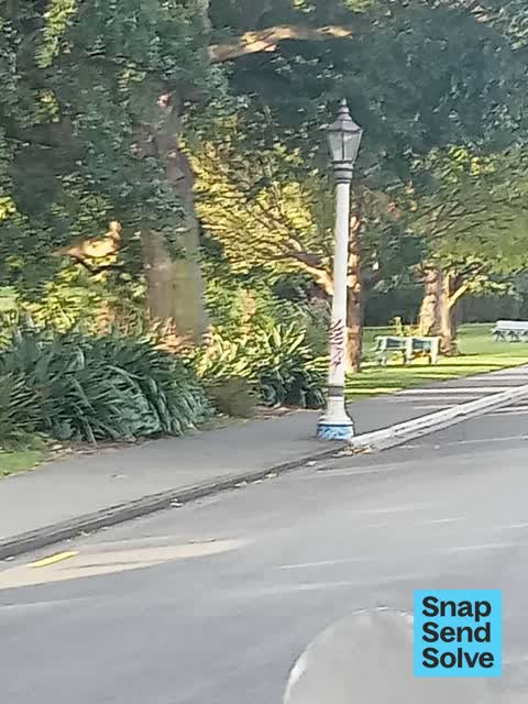
 Graffiti on a fence, building or structure —
graffiti on light lamp post pole
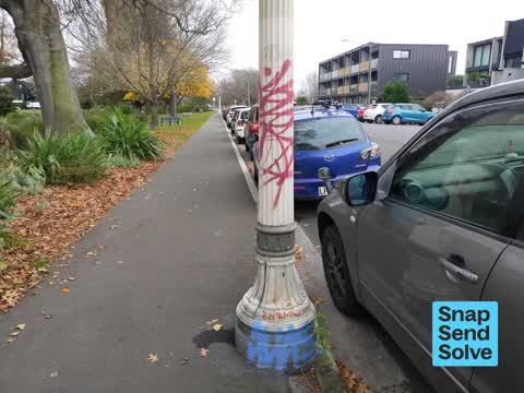
 Graffiti on a fence, building or structure —
graffiti on light lamp post pole
 Graffiti on a sign, mural or public art —
 Graffiti on a fence, building or structure —
 Graffiti on a road, footpath or bridge —
Graffiti on light pole
 Graffiti on a traffic light pole or cabinet, or wa —
Graffiti on blue & white "Keep Left" sign
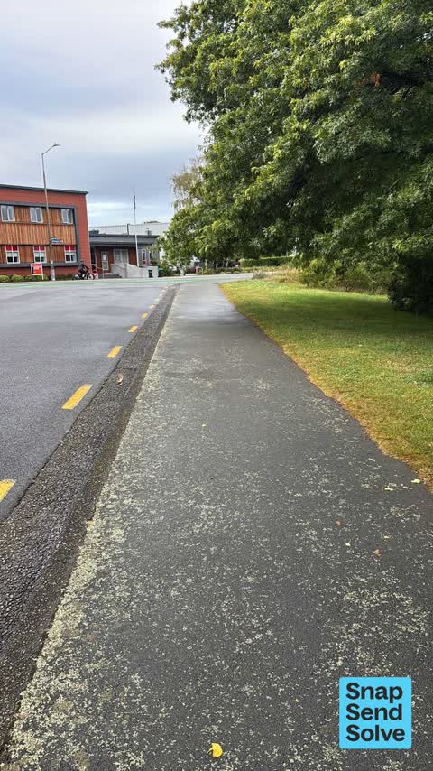
 Hazard — vehicle —
Truck parked on yellows and footpath
 Overgrown Vegetation —
Tree has overgrown over footpath, so pedestrians have to duck or move off the footpath to avoid the branches
 Overgrown Vegetation —
Can’t walk under this tree - needs trimming where it overhangs the footpath
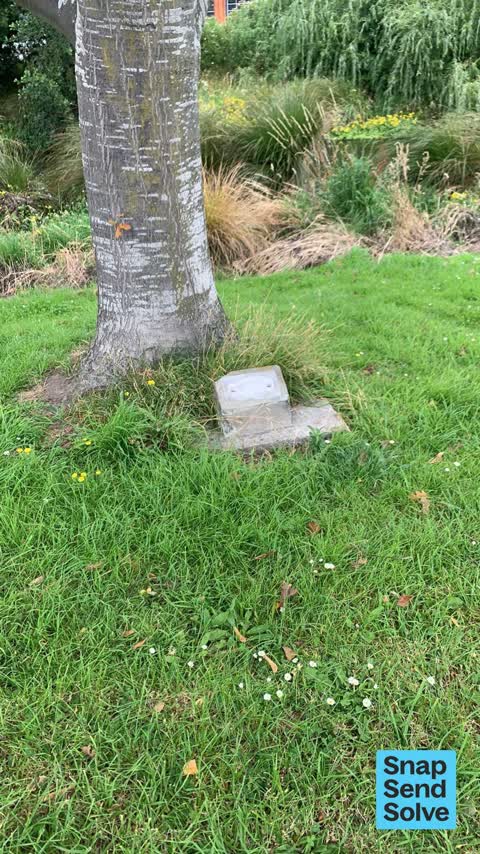
 Vandalism - General —
Brass commemoration plaque has been stolen
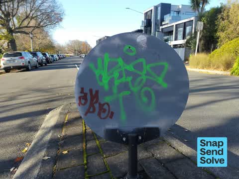
 Graffiti on a sign, mural or public art —
Graffiti on the back of a Keep Left road sign. On Oxford Tce near me intersection with Kilmore St. (Central Fire Station)
 Graffiti on a sign, mural or public art —
 Graffiti —
General graffiti markings on the back (reverse) side of a circular blue and white "Keep Left" road sign. Location is on Oxford Tce close to
 Fallen Tree —
Willow tree has broken and fallen into the river
Also reported on Oxford Terrace
- 159 Oxford Terrace — 180 reports
- 153 Oxford Terrace — 174 reports
- 95 Oxford Terrace — 126 reports
- 211 Oxford Terrace — 125 reports
- 182 Oxford Terrace — 122 reports
- 184 Oxford Terrace — 109 reports
- 294 Oxford Terrace — 92 reports
- 152 Oxford Terrace — 87 reports
The street’s crash record
NZTA’s record names Oxford Terrace in 56 crashes that hurt somebody since 2006 — 1 person killed, 11 seriously hurt.
The green nearby
- Fire Fighters Reserve — 92 m to the edge
- Avon Riverbank Central City — 150 m to the edge · 6 ha
- Cambridge Reserve — 164 m to the edge
- Cambridge Green — 165 m to the edge
- Poplars Reserve — 183 m to the edge · Botanic
Parks within half a kilometre, measured to the boundary — the council’s open data.
On the doorstep
- Foley Towers — 69 m away · Hostels
- The Herb Centre Cafe — 70 m away · Cafés
- Piko Whole Foods — 81 m away · Dairies & convenience
- Street Bowls Vegan & GF Food Truck — 94 m away · Fast food
Businesses within four hundred metres, measured at the pin — OpenStreetMap and the council directories.
The bus nearby
- Gloucester St near Barbadoes St — 400 m away · route 5, route 7
- Gloucester St near Barbadoes St — 415 m away · route 5, route 7
The closest Metro stops, within four hundred and fifty metres.
The tracks through here
- Walk and bike track through Christchurch Central City — 22 m to the line · walk · bike
- Walk and bike track through Christchurch Central City — 37 m to the line · walk · bike
- Walk and bike track through Christchurch Central City — 43 m to the line · walk · bike
- Walk and bike track through Christchurch Central City — 44 m to the line · walk · bike
- Walk and bike track through Christchurch Central City — 126 m to the line · walk · bike
Tracks whose line passes within half a kilometre, measured to the line itself — the council’s open data.
The named ground
Named water within 500 m of this address, measured to the line or the edge; Named places within 1.5 km of this address; the council’s own structure register — bridges, boardwalks and steps standing nearby — the open map’s record.
The remembered names nearby
- Plaque no. 310899 — 11 m away
- Plaque no. 310900 — 11 m away
- Plaque no. 310901 — 11 m away
Inscribed plaques within two hundred and fifty metres — the register’s pins, not surveyed spots. The whole roll is at /plaques.
Renting nearby
new bonds in Christchurch Central City ran about $508 a week — $42 below the city median of $550 — the suburb page keeps the rent record →.
What was here — The Bricks Site, Cairn and Setting
102 m away · 311 Oxford Terrace · located to ±35 m · the place’s own record →
On the register. Nothing researched here yet.
What was here — Commercial Building and Setting
128 m away · 228 Kilmore Street · located to ±11 m · the place’s own record →
On the register. Nothing researched here yet.
What was here — Dwellings and Setting
209 m away · 100 Chester Street East · located to ±13 m · the place’s own record →
On the register. Nothing researched here yet.
What was here — Edmonds Clock Tower, Telephone Cabinet and Setting
225 m away · 295F Madras Street · located to ±15 m · the place’s own record →
On the register. Nothing researched here yet.
What was here — Dwellings and Setting
232 m away · 86 Chester Street East · located to ±15 m · the place’s own record →
On the register. Nothing researched here yet.
The civic layer
This ground votes in Central ward — the Papanui-Innes-Central community board. Ward lines don’t always follow suburb lines; this one is measured at the pin, not the suburb’s centre.
What stood on this ground → · On the map → · From the air — the Crown’s aerials back to 1936; search the address on RetroLens →
Questions, answered briefly
14 council reports on record since February 2024 — most often graffiti on a sign, mural or public art (3), graffiti on a fence, building or structure (3), overgrown vegetation (2).
Christchurch Central City, Christchurch — on Oxford Terrace.
The heritage register names 5 places at or beside it — The Bricks Site, Cairn and Setting, Commercial Building and Setting.
Fire Fighters Reserve — 92 m to its edge.