329 Durham Street North, Christchurch Central City
55 reports on record since December 2015 · 40 with photographs. The most-reported address on Durham Street North. Indicative rating valuation and school zones, hazards, bin day and what stood here before.
What gets reported here
Photographed here 40 on record



Reported here
 Pavement - Damaged —
water cock stop cover broken
 Street Light Outage —
 Graffiti on a fence, building or structure —
See pic
 Graffiti on a fence, building or structure —
 Graffiti on a fence, building or structure —
 Poles and Signage - General —
Excessively bright advertising sign by Go Media reflecting on surrounding buildings and the intersection causing blinding of drivers and ped
 General Request —
One pavement cafe sign is fine, but 4 seems excessive.
 Pavement - Damaged —
The pavement looks like it has been cut to install services but it is now all uneven and a trip risk when turning into the walkway at 329 Du
 Water Leak —
Visible flow all day
 Water Leak —
 Pit and Equipment - General —
Water pipe broken underground and coming up
 Pavement - Damaged —
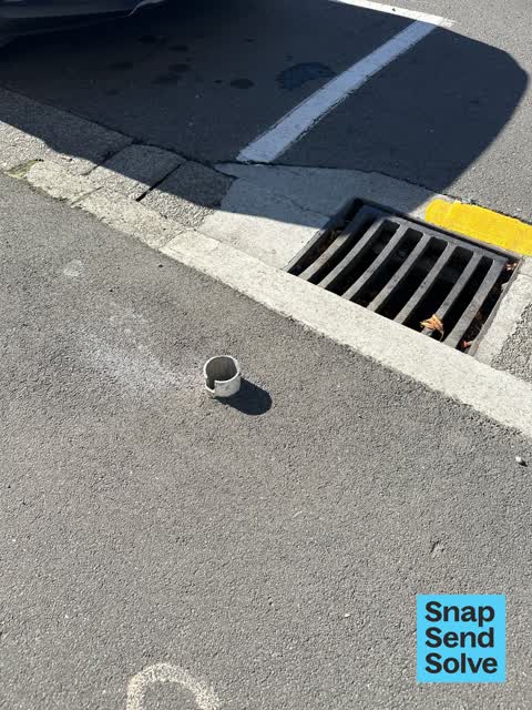
Pole has been cut off at approximately 10cm from the ground and is a severe trip hazard.
 Hazard — vehicle —
Need a sign at the north end of this bay to match the front sign P$120 mon to sun 9am to 6pm . By 329 . Also by meter 3472. Thanks julie
 Graffiti —
 Public Toilet —
Someone has broken the faucet and there is water going everywhere. Will try and isolate the supply
 Graffiti —
Graffiti on parking meter screen zone C11 Durham St between Kilmore and Chester St West
 Graffiti —
blue graffiti in concrete wall behind yellow bins
 Pit and Equipment - General —
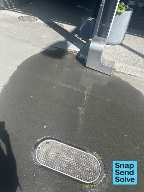
Meter box lid broken on busy footpath
 Pavement - Damaged —
Hole in footpath due to broken matter box lid
 Graffiti —
 Graffiti —
white graffiti on a green wall at the entrance to parking.
- Graffiti —
- Graffiti —
- Graffiti —
- Graffiti —
- Pavement - Damaged —
- Graffiti —
- Graffiti —
- Graffiti —
- Graffiti —
- Graffiti —
- Graffiti —
- Public Toilet —
- Graffiti —
- Graffiti —
- Graffiti —
 Graffiti —
Significant amount of graffiti on building exterior Wilson car park vacant lot #329 Durham St
 Graffiti —
Wilson parking lot sign vacant lot west side Durham St by #329
 Roading/Streets —
P120 damaged
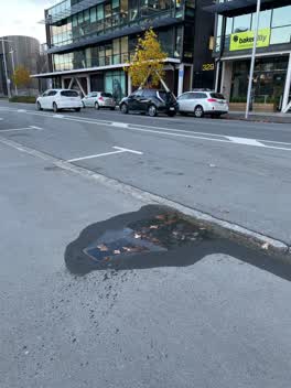 Water Leak —
Water meter leak - good flow!
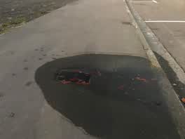 Water Leak —
Water leak along Durham street opposite Laneways Cafe.
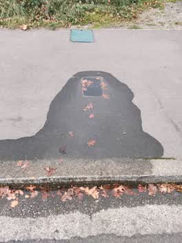 Water Leak —
Leak at Toby
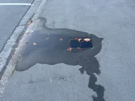 Water Leak —
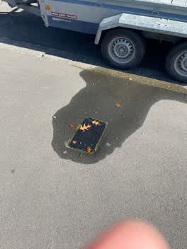 Water Leak —
Coming from meter box.
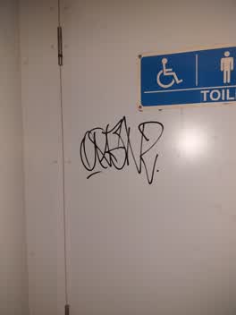 Graffiti —
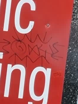 Graffiti —
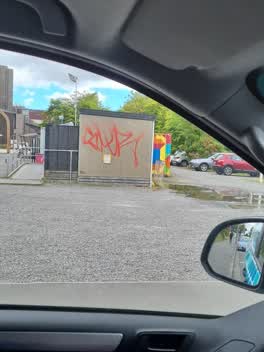 Graffiti —
Toilet block opposite 329 Durham St
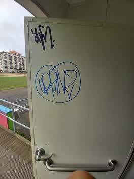 Graffiti —
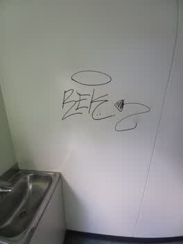 Graffiti —
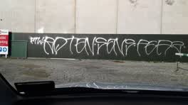 Graffiti —
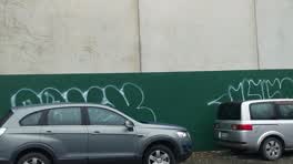 Graffiti —
wall repainted recently I think
Graffiti —
Roading/Streets —
30k sign bent backwards, not visible. Motorists continue at 50kph
Graffiti —
Didn't remove graffiti on power role
Graffiti —
Power role
Also reported on Durham Street North
- 287 Durham Street North — 47 reports
- 398 Durham Street North — 36 reports
- 380 Durham Street North — 34 reports
- 423 Durham Street North — 28 reports
- 280 Durham Street North — 28 reports
- 414 Durham Street North — 25 reports
- 378 Durham Street North — 23 reports
- 335 Durham Street North — 23 reports
The street’s crash record
NZTA’s record names Durham Street North in 24 crashes that hurt somebody since 2006 — 4 seriously hurt, nobody killed.
The green nearby
- Victoria Square — 157 m to the edge · Botanic · 2 ha
- Victoria Triangles — 169 m to the edge
- Canterbury Provincial Council Reserve — 185 m to the edge · Botanic
- Cranmer Square — 196 m to the edge · Botanic · 2 ha
- Aldred Reserve — 372 m to the edge
Parks within half a kilometre, measured to the boundary — the council’s open data.
The civic shelf nearby
- Aldersgate — 92 m away · Car park
- Armagh St — 151 m away · Car park
- Turanga Library — 440 m away · Library · Cathedral Square, Christchurch
Libraries, halls and the rest within half a kilometre — the council’s open data.
On the doorstep
- Laneway Espresso — 8 m away · Cafés
- Urban Skin & Body — 8 m away · Business
- Bakertilly - Staples Rodway — 17 m away · Business
- Mobile Osaka-ya — 37 m away · Fast food
Businesses within four hundred metres, measured at the pin — OpenStreetMap and the council directories.
The bus nearby
- Kilmore Street Town Hall — 142 m away · route 1, route 29, route 95
- Victoria St near Peterborough St — 275 m away · route 1, route 29, route 95
The closest Metro stops, within four hundred and fifty metres.
The tracks through here
- Walk and bike track through Christchurch Central City — 68 m to the line · walk · bike
- Walk and bike track through Christchurch Central City — 175 m to the line · walk · bike
- Walk and bike track through Christchurch Central City — 213 m to the line · walk · bike
- Walk and bike track through Christchurch Central City — 312 m to the line · walk · bike
- Walk and bike track through Christchurch Central City — 319 m to the line · walk · bike
Tracks whose line passes within half a kilometre, measured to the line itself — the council’s open data.
The named ground
Named water within 500 m of this address, measured to the line or the edge; Named places within 1.5 km of this address; the council’s own structure register — bridges, boardwalks and steps standing nearby — the open map’s record.
The remembered names nearby
- In Conjunction With the Christchurch Beautifying — 103 m away ·
IN CONJUNCTION WITH THE CHRISTCHURCH BEAUTIFYING ASSOCIATION INC. THIS FLORAL CLOCK WAS PR
· 2009 - This Floral Clock Was Presented to the Citizens — 103 m away ·
THIS FLORAL CLOCK WAS PRESENTED TO THE CITIZENS OF CHRISTCHURCH BY CALDER MACKAY CO. LTD 1
· 2009 - Victoria Bridge — Historical Description 1851–1989 — 159 m away ·
VICTORIA BRIDGE — HISTORICAL DESCRIPTION 1851–1989
· 2009
Inscribed plaques within two hundred and fifty metres — the register’s pins, not surveyed spots. The whole roll is at /plaques.
Renting nearby
new bonds in Christchurch Central City ran about $508 a week — $42 below the city median of $550 — the suburb page keeps the rent record →.
What was here — Floral Clock and Setting
102 m away · 66 Chester Street West · located to ±5 m · the place’s own record →
On the register. Nothing researched here yet.
What was here — Former Market Place Bridge/Hamish Hay Bridge and Setting
153 m away · located to ±31 m · the place’s own record →
On the register. Nothing researched here yet.
What was here — Former Magistrates Court and Setting
157 m away · 85 Armagh Street · located to ±21 m · the place’s own record →
On the register. Nothing researched here yet.
What was here — The Christchurch Town Hall and Setting
167 m away · located to ±79 m · the place’s own record →
On the register. Nothing researched here yet.
What was here — Dwelling and Setting
177 m away · 38 Cranmer Square · located to ±5 m · the place’s own record →
On the register. Nothing researched here yet.
The civic layer
This ground votes in Central ward — the Papanui-Innes-Central community board. Ward lines don’t always follow suburb lines; this one is measured at the pin, not the suburb’s centre.
What stood on this ground → · On the map → · From the air — the Crown’s aerials back to 1936; search the address on RetroLens →
Questions, answered briefly
55 council reports on record since December 2015 — most often graffiti (30), water leak (7), pavement - damaged (5).
Christchurch Central City, Christchurch — on Durham Street North.
The heritage register names 5 places at or beside it — Floral Clock and Setting, Former Market Place Bridge/Hamish Hay Bridge and Setting.
Victoria Square — 157 m to its edge, 2 ha.