423 Durham Street North, Christchurch Central City
28 reports on record since June 2016 · 19 with photographs. The street’s heaviest record is 329 Durham Street North — 55 reports on file. Indicative rating valuation and school zones, hazards, bin day and what stood here before.
What gets reported here
Photographed here 19 on record





Reported here
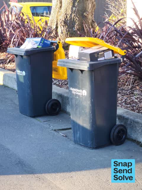
 Rubbish and Bins - General —
The recycling bins for flats 11 & 17, 400 Durham St N have been left out for weeks. Both are completely full and have non-recyclable items
 Dumped Rubbish —
Cardboard boxes dumped. Address 38/400 Durham St N written on one of the boxes, so potential to issue a penalty?
 Graffiti on a fence, building or structure —
 Graffiti on a fence, building or structure —
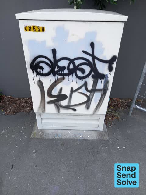
 Graffiti on a fence, building or structure —
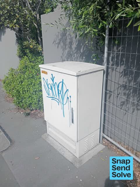
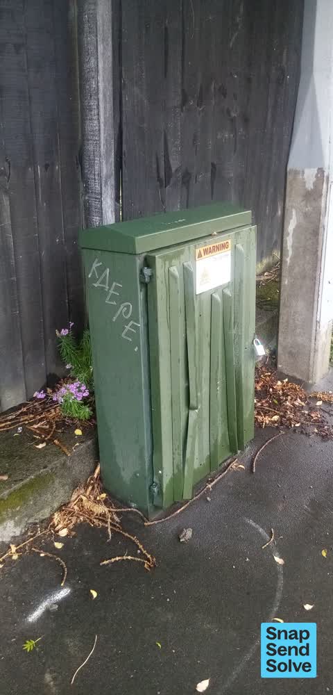
423 Durham St - cream cabinet, possibly Chorus?
 Graffiti somewhere else —
 Graffiti somewhere else —
 Graffiti on a fence, building or structure —
 Damaged Street Sign —
Street sign partially detached from pole
 Graffiti —
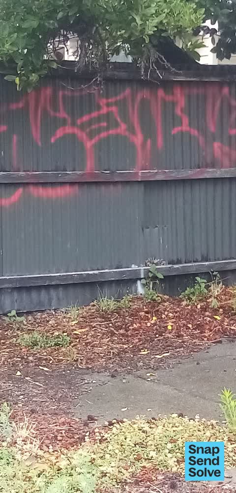
red graffiti on black tin fence
 Graffiti —
 Graffiti —
Empty section
- Graffiti —
- Graffiti —
- Graffiti —
- Graffiti —
- Flooding —
- Graffiti —
- Graffiti —
- Water Leak —
- Street Gutters / Storm Water —
 Graffiti —
Black paint tag on real estate sign facing the footpath on Durham Street North south of Peacock Street. If not in scope please ask the firm
 Graffiti —
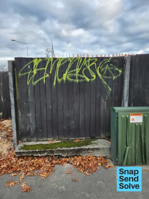
Multiple paint tags on black wooden fence facing the footpath corner of Peacock and Durham Street North.
 Vandalism - General —
White and yellow paint tags on black wooden fence facing the footpath corner of Peacock and Durham Street North.
 Rubbish/Recycling —
 Rubbish/Recycling —
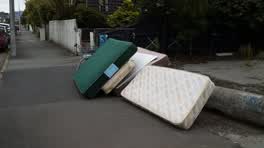
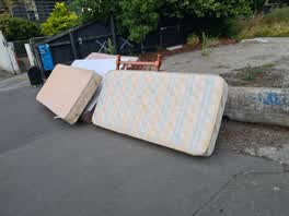
This pile grows by the day.
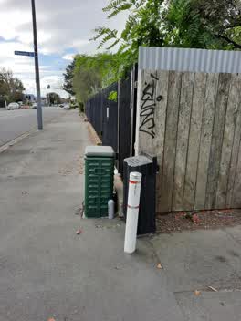 Graffiti —
Roading/Streets —
Durham st has not been cleaned for many weeks. Photo corner Durham and peacock.
Also reported on Durham Street North
- 329 Durham Street North — 55 reports
- 287 Durham Street North — 47 reports
- 398 Durham Street North — 36 reports
- 380 Durham Street North — 34 reports
- 280 Durham Street North — 28 reports
- 414 Durham Street North — 25 reports
- 378 Durham Street North — 23 reports
- 335 Durham Street North — 23 reports
The street’s crash record
NZTA’s record names Durham Street North in 24 crashes that hurt somebody since 2006 — 4 seriously hurt, nobody killed.
The green nearby
- Aldred Reserve — 193 m to the edge
- Rose Historic Chapel Reserve — 292 m to the edge · Botanic
- Victoria Triangles — 413 m to the edge
Parks within half a kilometre, measured to the boundary — the council’s open data.
On the doorstep
- Eliza's Manor House — 89 m away · Hotels
- Miro at the Manor — 91 m away · Restaurants
- Izzy's Artisan Market — 95 m away · Markets
- The Butcher & The Bees Restaurant — 106 m away · Restaurants
Businesses within four hundred metres, measured at the pin — OpenStreetMap and the council directories.
The bus nearby
The closest Metro stops, within four hundred and fifty metres.
The tracks through here
- Walk and bike track through Christchurch Central City — 211 m to the line · walk · bike
- Walk and bike track through Christchurch Central City — 280 m to the line · walk · bike
- Walk and bike track through Christchurch Central City — 339 m to the line · walk · bike
- Walk and bike track through Christchurch Central City — 495 m to the line · walk · bike
Tracks whose line passes within half a kilometre, measured to the line itself — the council’s open data.
The named ground
Named places within 1.5 km of this address — the open map’s record.
The remembered names nearby
- Aldred Reserve plaque — 210 m away ·
ALDRED PARK / IN 1993 A SUGGESTION WAS PUT TO THE CHRISTCHURCH CITY COUNCIL BY THE VICTORI
· 2004
Inscribed plaques within two hundred and fifty metres — the register’s pins, not surveyed spots. The whole roll is at /plaques.
Renting nearby
new bonds in Christchurch Central City ran about $508 a week — $42 below the city median of $550 — the suburb page keeps the rent record →.
What was here — Former Dwelling and Setting
90 m away · 82 Bealey Avenue · located to ±22 m · the place’s own record →
On the register. Nothing researched here yet.
What was here — Dwelling and Setting
170 m away · 18 Beveridge Street · located to ±8 m · the place’s own record →
On the register. Nothing researched here yet.
What was here — Dwelling and Setting
236 m away · 1/2 Beveridge Street · located to ±5 m · the place’s own record →
On the register. Nothing researched here yet.
What was here — Dwelling and Setting
238 m away · 2/408 Montreal Street · located to ±5 m · the place’s own record →
On the register. Nothing researched here yet.
What was here — Dwelling and Setting
243 m away · 406 Montreal Street · located to ±6 m · the place’s own record →
On the register. Nothing researched here yet.
The civic layer
This ground votes in Central ward — the Papanui-Innes-Central community board. Ward lines don’t always follow suburb lines; this one is measured at the pin, not the suburb’s centre.
What stood on this ground → · On the map → · From the air — the Crown’s aerials back to 1936; search the address on RetroLens →
Questions, answered briefly
28 council reports on record since June 2016 — most often graffiti (12), graffiti on a fence, building or structure (4), rubbish/recycling (2).
Christchurch Central City, Christchurch — on Durham Street North.
The heritage register names 5 places at or beside it — Former Dwelling and Setting, Dwelling and Setting.
Aldred Reserve — 193 m to its edge.