41 Cambridge Terrace, Christchurch Central City
24 reports on record since May 2021 · 14 with photographs. The street’s heaviest record is 2 Cambridge Terrace — 251 reports on file. Indicative rating valuation and school zones, hazards, bin day and what stood here before.
What gets reported here
Photographed here 14 on record



Reported here
 Graffiti on a fence, building or structure —
graffiti on ccc water back flow preventer
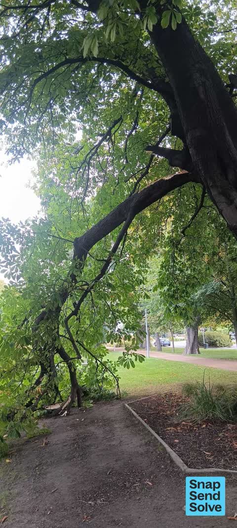
 Fallen Tree —
Tree branch is down
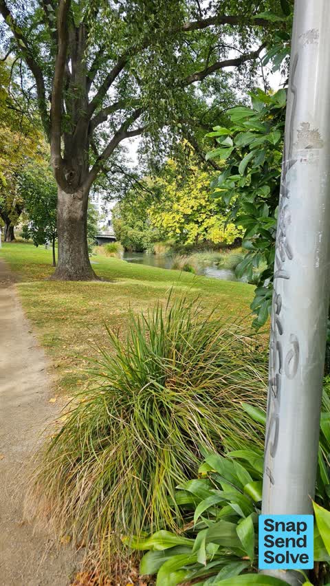
 Graffiti on a traffic light pole or cabinet, or wa —
graffiti on water back flow box
 Graffiti on a fence, building or structure —
 Graffiti somewhere else —
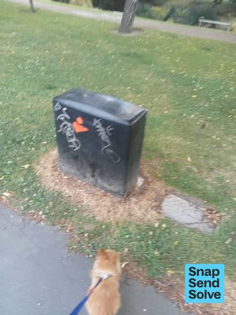
Orion cabinet tagged
 Graffiti somewhere else —
Graffiti on concrete near Orion box
 Water Leak —
Hi quite a bit of water coming out maybe a leaking water main adjacent to 41 Cambridge tce.
 Water Leak —
Water leak from parking area
 Water Leak —
Water coming up from underneath the road
 Graffiti somewhere else —
Nearby to some high storey block apartments
 General Request —
More cones along from Antigua Boatsheds
 Graffiti —
 Graffiti —
- Water General —
- General Request —
- Park - General Request —
- Pothole —
- Park - General Request —
- Graffiti —
- Park - General Request —
- Pothole —
- Pothole —
- Accessibility —
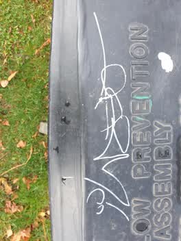 Graffiti —
Also reported on Cambridge Terrace
- 2 Cambridge Terrace — 251 reports
- 357 Cambridge Terrace — 116 reports
- 88 Cambridge Terrace — 92 reports
- 351 Cambridge Terrace — 81 reports
- 129 Cambridge Terrace — 80 reports
- 343 Cambridge Terrace — 79 reports
- 230 Cambridge Terrace — 74 reports
- 131 Cambridge Terrace — 72 reports
The street’s crash record
NZTA’s record names Cambridge Terrace in 44 crashes that hurt somebody since 2006 — 11 seriously hurt, nobody killed.
The green nearby
- Botanic Gardens — 200 m to the edge · Botanic · 21 ha
- Tiffany Reserve — 219 m to the edge
- Friendship Corner — 288 m to the edge · Botanic
- Bridge Of Remembrance — 296 m to the edge · Botanic
- Hagley Park North — 404 m to the edge · Sports ground · 91 ha
Parks within half a kilometre, measured to the boundary — the council’s open data.
The civic shelf nearby
- Scales — 138 m away · Car park
- Civic Offices — 320 m away · Council office
- Rolleston Avenue — 430 m away · Car park
- Christchurch Hospital Grounds — 430 m away · Car park
Libraries, halls and the rest within half a kilometre — the council’s open data.
On the doorstep
- Boatshed Cafe — 66 m away · Restaurants
- Black and White coffee Cartel — 73 m away · Cafés
- MetroMart — 75 m away · Dairies & convenience
- Parkside Pharmacy — 78 m away · Pharmacies
Businesses within four hundred metres, measured at the pin — OpenStreetMap and the council directories.
The bus nearby
- Christchurch Hospital Main Stop EB — 208 m away · route 3, route 5, route 7, route 60, route 80, route 81, route 84, route 85, route 86, route 91, route 92
- St Asaph St near Montreal St — 256 m away · route 3, route 5, route 7, route 60, route 80, route 81, route 84, route 85, route 86
The closest Metro stops, within four hundred and fifty metres.
The tracks through here
- Walk and bike track through Christchurch Central City — 122 m to the line · walk · bike
- Walk and bike track through Christchurch Central City — 160 m to the line · walk · bike
- Walk and bike track through Christchurch Central City — 164 m to the line · walk · bike
- Walk and bike track through Christchurch Central City — 177 m to the line · walk · bike
- Walk and bike track through Christchurch Central City — 195 m to the line · walk · bike
Tracks whose line passes within half a kilometre, measured to the line itself — the council’s open data.
The named ground
Named water within 500 m of this address, measured to the line or the edge; Named places within 1.5 km of this address; the council’s own structure register — bridges, boardwalks and steps standing nearby — the open map’s record.
Renting nearby
new bonds in Christchurch Central City ran about $508 a week — $42 below the city median of $550 — the suburb page keeps the rent record →.
What was here — Former Dwelling and Setting
114 m away · 14 Oxford Terrace · located to ±15 m · the place’s own record →
On the register. Nothing researched here yet.
What was here — Antigua Boatsheds and Setting
135 m away · 2 Cambridge Terrace · located to ±22 m · the place’s own record →
On the register. Nothing researched here yet.
What was here — Commercial Building and Setting
149 m away · 65 Cambridge Terrace · located to ±25 m · the place’s own record →
On the register. Nothing researched here yet.
What was here — Dwelling and Setting
155 m away · 23 Cashel Street · located to ±11 m · the place’s own record →
On the register. Nothing researched here yet.
What was here — Fitzgerald Statue and Setting
211 m away · located to ±2 m · the place’s own record →
On the register. Nothing researched here yet.
The civic layer
This ground votes in Central ward — the Papanui-Innes-Central community board. Ward lines don’t always follow suburb lines; this one is measured at the pin, not the suburb’s centre.
What stood on this ground → · On the map → · From the air — the Crown’s aerials back to 1936; search the address on RetroLens →
Questions, answered briefly
24 council reports on record since May 2021 — most often graffiti (4), water leak (3), pothole (3).
Christchurch Central City, Christchurch — on Cambridge Terrace.
The heritage register names 5 places at or beside it — Former Dwelling and Setting, Antigua Boatsheds and Setting.
Botanic Gardens — 200 m to its edge, 21 ha.