64 Cashel Street, Christchurch Central City
15 reports on record since December 2017 · 12 with photographs. The street’s heaviest record is 210 Cashel Street — 53 reports on file. Indicative rating valuation and school zones, hazards, bin day and what stood here before.
What gets reported here
Photographed here 12 on record


Reported here
 Poles and Signage - General —
Signage pile has been bent/ push off vertical- to be reset
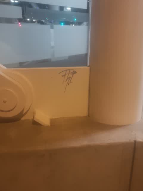
 Graffiti on a sign, mural or public art —
EKOE black paint tag on reverse side of sign at 64 Cashel Street.
 Graffiti somewhere else —
 Graffiti on a sign, mural or public art —
Black paint tag on road sign at the corner of Cambridge Terrace and Cashel Street.
 Graffiti on a sign, mural or public art —
Black paint tag (plus sticky tags) on P120 sign on Cambridge Terrace near Cashel Street.
 Graffiti on a fence, building or structure —
 Graffiti somewhere else —
 Dumped Rubbish —
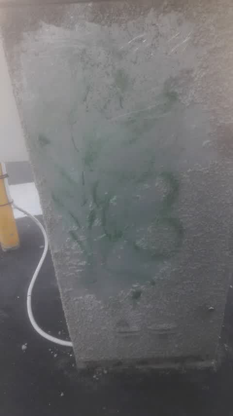
 Graffiti on a cabinet, pole or railway asset —
 Graffiti —
Near the intersection of Cashel and Cambridge Streets along the river.
- Pavement - Damaged —
- Street Gutters / Storm Water —
- Flooding —
 Graffiti —
Also reported on Cashel Street
- 210 Cashel Street — 53 reports
- 219 Cashel Street — 46 reports
- 202 Cashel Street — 42 reports
- 208 Cashel Street — 41 reports
- 76 Cashel Street — 39 reports
- 7 Cashel Street — 37 reports
- 135 Cashel Street — 37 reports
- 75 Cashel Street — 34 reports
The street’s crash record
NZTA’s record names Cashel Street in 103 crashes that hurt somebody since 2006 — 1 person killed, 9 seriously hurt.
The green nearby
- Tiffany Reserve — 53 m to the edge
- Bridge Of Remembrance — 54 m to the edge · Botanic
- Friendship Corner — 56 m to the edge · Botanic
- Scott Statue Reserve — 248 m to the edge · Botanic
- City Mall — 355 m to the edge
Parks within half a kilometre, measured to the boundary — the council’s open data.
The civic shelf nearby
- Scales — 116 m away · Car park
- Civic Offices — 180 m away · Council office
- Re:start - Lichfield St — 350 m away · Car park
- Triangle — 389 m away · Car park
- Rolleston Avenue — 469 m away · Car park
Libraries, halls and the rest within half a kilometre — the council’s open data.
On the doorstep
- Perception PR & Marketing — 11 m away · Business
- Partners Finance & Lease — 23 m away · Business
- Opening soon: Hikari Izakaya Bar — 25 m away · Restaurants
- EQ Consultants — 33 m away · Business
Businesses within four hundred metres, measured at the pin — OpenStreetMap and the council directories.
The bus nearby
- Hereford St near Montreal St — 175 m away · route 8
- Hereford St near Montreal St — 186 m away · route 8
The closest Metro stops, within four hundred and fifty metres.
The tracks through here
- Walk and bike track through Christchurch Central City — 42 m to the line · walk · bike
- Walk and bike track through Christchurch Central City — 102 m to the line · walk · bike
- Walk and bike track through Christchurch Central City — 105 m to the line · walk · bike
- Walk and bike track through Christchurch Central City — 221 m to the line · walk · bike
- Walk and bike track through Christchurch Central City — 238 m to the line · walk · bike
Tracks whose line passes within half a kilometre, measured to the line itself — the council’s open data.
The named ground
Named water within 500 m of this address, measured to the line or the edge; Named places within 1.5 km of this address; the council’s own structure register — bridges, boardwalks and steps standing nearby — the open map’s record.
The remembered names nearby
- Qvid Non Pro Patria — 63 m away ·
QVID NON PRO PATRIA
· 2009 - World War Ii / 1939 – 1945 / in Memory of Members — 67 m away ·
WORLD WAR II / 1939 – 1945 / IN MEMORY OF MEMBERS OF THE / 23rd N.Z. BATTALION / WHO GAVE
· 2017 - Rose — 69 m away ·
Rose. Soroptimist International Donated and planted by Soroptimists of Christchurch To cel
· 2009
Inscribed plaques within two hundred and fifty metres — the register’s pins, not surveyed spots. The whole roll is at /plaques.
Renting nearby
new bonds in Christchurch Central City ran about $508 a week — $42 below the city median of $550 — the suburb page keeps the rent record →.
What was here — Rhododendron Island and Setting
72 m away · 78 Cambridge Terrace · located to ±37 m · the place’s own record →
On the register. Nothing researched here yet.
What was here — Bridge of Remembrance and Setting
73 m away · 88 Cambridge Terrace · located to ±27 m · the place’s own record →
On the register. Nothing researched here yet.
What was here — Former Dwelling and Setting
91 m away · 95 Oxford Terrace · located to ±18 m · the place’s own record →
On the register. Nothing researched here yet.
What was here — Commercial Building and Setting
99 m away · 65 Cambridge Terrace · located to ±25 m · the place’s own record →
On the register. Nothing researched here yet.
What was here — St Michael and All Angels Church Belfry and Setting
118 m away · 90 Oxford Terrace · located to ±5 m · the place’s own record →
On the register. Nothing researched here yet.
The civic layer
This ground votes in Central ward — the Papanui-Innes-Central community board. Ward lines don’t always follow suburb lines; this one is measured at the pin, not the suburb’s centre.
What stood on this ground → · On the map → · From the air — the Crown’s aerials back to 1936; search the address on RetroLens →
Questions, answered briefly
15 council reports on record since December 2017 — most often graffiti on a sign, mural or public art (3), graffiti (3), graffiti somewhere else (2).
Christchurch Central City, Christchurch — on Cashel Street.
The heritage register names 5 places at or beside it — Rhododendron Island and Setting, Bridge of Remembrance and Setting.
Tiffany Reserve — 53 m to its edge.