264A Main Road, Clifton
14 reports on record since February 2019 · 8 with photographs. The street’s heaviest record is 301 Main Road — 55 reports on file. Indicative rating valuation and school zones, hazards, bin day and what stood here before.
What gets reported here
Photographed here 8 on record


Reported here
- Pavement - Damaged —
this safety barrier is quite new but it is rusting badly and already may not be strong enough to protect pedestrians from dangerous vehicles
 Pavement - General —
 Please get a forklift or some labourers and move the several piles of sheeting back a few meters, and then move the metal fence so it is lin
- Overgrown Vegetation —
A pile of greenery that has been cut from The bluffs overhanging the main road has been left in a pile by the carpark. It would be great if
 Graffiti somewhere else —
 Brand-new Rockwall, tagged
 Roads - General —
 Man hole noisy goes clank!! Every time a car runs over it
- Overgrown Vegetation —
- Pavement - General —
- Graffiti —
 Roading/Streets —
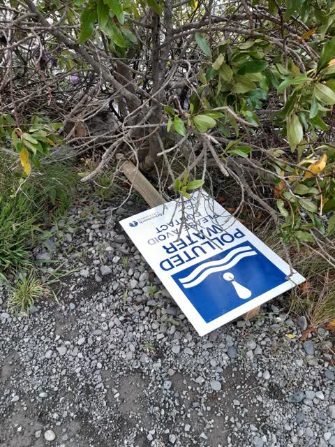
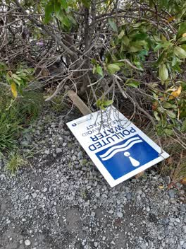
 2 signs re polluted water diwn. One in water and other by foot track
 Graffiti —
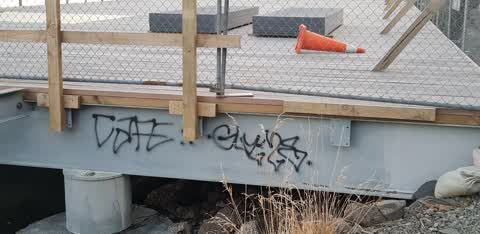
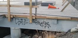
 graffiti on the rowing club deck
Parks —
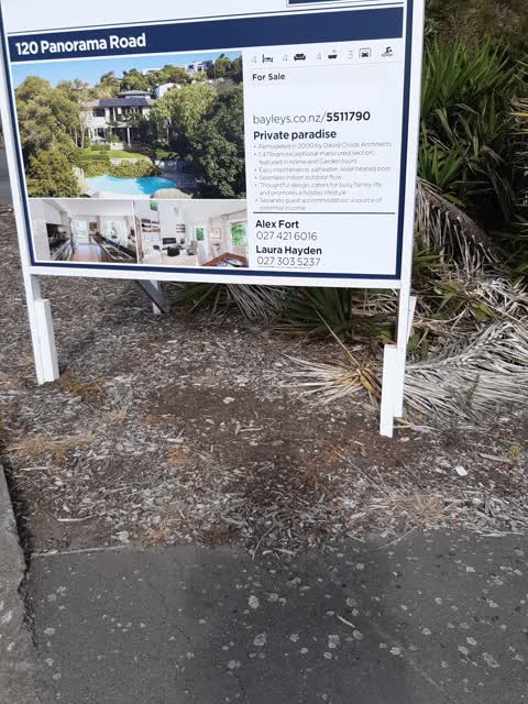
Hi. Can this hoarding please be removed. it is distracting on busy corner making turning dangerous. thanks
Roading/Streets —
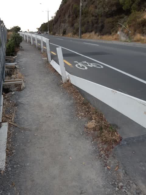
boundary/ balustrade broken
Wastewater/Stormwater —
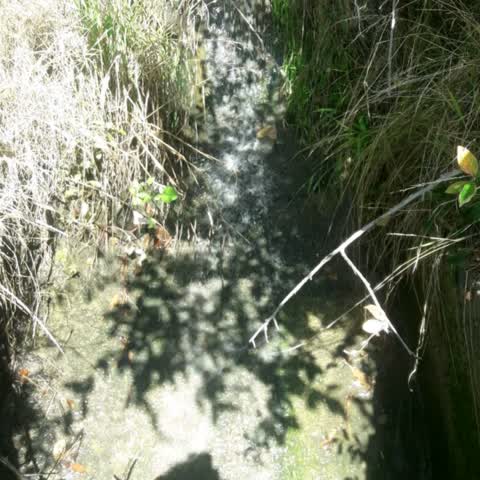
Very strong flow of water and no rain for days. there is a problem needs investigating please
- Graffiti —
Rec paint graffiti on wall of CCC pump station facade facing road.
Also reported on Main Road
- 301 Main Road — 55 reports
- 286 Main Road — 46 reports
- 300 Main Road — 43 reports
- 305 Main Road — 30 reports
- 288 Main Road — 30 reports
- 258–296 Main Road — 24 reports
- 266A Main Road — 10 reports
- 262 Main Road — 10 reports
The street’s crash record
NZTA’s record names Main Road in 18 crashes that hurt somebody since 2006 — 1 person killed, 9 seriously hurt.
The green nearby
- Yacht Club Reserve — 171 m to the edge
- Shag Rock — 271 m to the edge · Regional
- Shag Rock Reserve — 275 m to the edge
- Sumner Beach — 291 m to the edge · Regional · 8 ha
- Brownlee Reserve — 348 m to the edge · 3 ha
Parks within half a kilometre, measured to the boundary — the council’s open data.
On the doorstep
- Casamassima Italian Fare — 164 m away · Bottle stores
Businesses within four hundred metres, measured at the pin — OpenStreetMap and the council directories.
The bus nearby
The closest Metro stops, within four hundred and fifty metres.
The tracks through here
- Walk and bike track through Clifton — 3 m to the line · walk · bike
Tracks whose line passes within half a kilometre, measured to the line itself — the council’s open data.
The named ground
Named places within 1.5 km of this address; the council’s own structure register — bridges, boardwalks and steps standing nearby — the open map’s record.
The remembered names nearby
- In Memory of Peter Mander Yachting Nz’S 1st Olympic Gold — 235 m away ·
IN MEMORY OF PETER MANDER Yachting NZ’s 1st Olympic Gold Medal Winner Melbourne 1956 Life
· 2009
Inscribed plaques within two hundred and fifty metres — the register’s pins, not surveyed spots. The whole roll is at /plaques.
Renting nearby
new bonds in Clifton ran about $820 a week — $270 above the city median of $550 — the suburb page keeps the rent record →.
The civic layer
This ground votes in Heathcote ward — the Spreydon-Cashmere-Heathcote community board. Ward lines don’t always follow suburb lines; this one is measured at the pin, not the suburb’s centre.
What stood on this ground → · On the map → · From the air — the Crown’s aerials back to 1936; search the address on RetroLens →
Questions, answered briefly
14 council reports on record since February 2019 — most often graffiti (3), roading/streets (2), pavement - general (2).
Clifton, Christchurch — on Main Road.
Nothing on the heritage register at this exact spot — the record around this ground →
Yacht Club Reserve — 171 m to its edge.