45 Waipapa Avenue
6 council reports since February 2021, 6 carrying a photograph. The street’s heaviest record is 2i Waipapa Avenue, 44 reports on file.
From the air, then
Sourced from Canterbury Maps and partners. LINZ, CC BY 3.0 NZ. Each frame is cut from Environment Canterbury’s historic imagery MapServer for that decade, only where the Footprints layer names a CC BY survey (NZAM-covered spots stay out). RetroLens holds more Crown aerials →
The green nearby
- Kirk Park, 15 m to the edge · playground, 15 pieces
- Coastal Cliff Reserve, 167 m to the edge · 18 ha
- Rawhiti Street Reserve, 219 m to the edge
- Rawhiti Street Park, 246 m to the edge
- Jervois Close Park, 279 m to the edge
Parks within half a kilometre, measured to the boundary, the council’s open data. The whole roll is at /parks.
The civic shelf nearby
- Diamond Harbour Library, 450 m away · Library
Libraries, halls and the rest within half a kilometre, the council’s open data.
The named ground
Named water within 500 m of this address, measured to the line or the edge; Named places within 1.5 km of this address; the council’s own structure register, bridges, boardwalks and steps standing nearby, the open map’s record.
What gets reported here
- Water Leak, 3
- Water Supply, 2
- Pothole, 1
Photographed here 6 on record

What’s on record
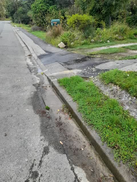
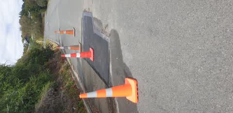
 Pothole, 24 Jul 2026
 pot hole forming in the rd
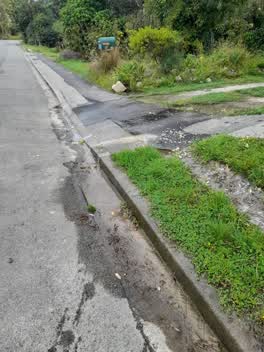 Water Leak, 28 Mar 2022
 To be honest we have lost of water leaks from the installation of the water meters all over our area. Have a walk around. Such a waste of wa
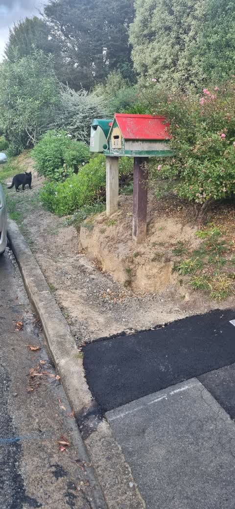
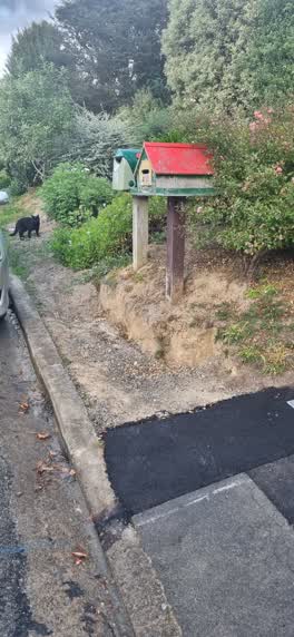 Water Supply, 25 Mar 2022
 When the contractor installed the sub main water pipe they dug up the previous bitumen pad in front of my letter box, see picture for refere
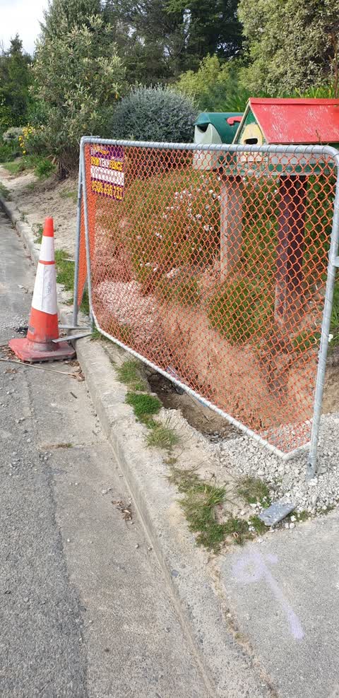
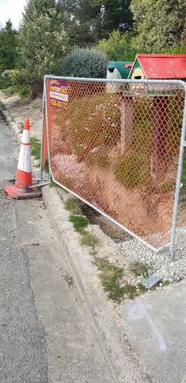 Water Supply, 3 Nov 2021
 Hi, the contractor in Diamond Harbour is continuing to install new mains on the roads and sub-mains on roadsides here. They have left a hole
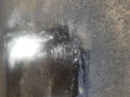 Water Leak, 9 Feb 2021
 I reported the leak a week ago. I know others have too. please come and fix it
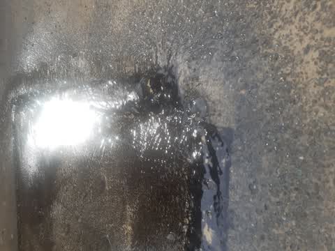
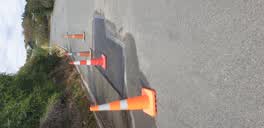 Water Leak, 1 Feb 2021
 A road repair team came last week to repair the road, in the process they managed to create a rapid leak which is still going, water is flow
Elsewhere on Waipapa Avenue
- 2i Waipapa Avenue, 44 reports
- 2D Waipapa Avenue, 31 reports
- 2 Waipapa Avenue, 22 reports
- 2A Waipapa Avenue, 21 reports
- 2J Waipapa Avenue, 14 reports
- 1J Waipapa Avenue, 11 reports
- 6 Waipapa Avenue, 10 reports
- 1 Waipapa Avenue, 10 reports
The street’s crash record
NZTA’s record names Waipapa Avenue in 3 crashes that hurt somebody since 2006, 1 seriously hurt, nobody killed.
The civic layer
This ground votes in Banks Peninsula ward, the Banks Peninsula community board is its local layer. Ward lines don’t always follow suburb lines; this one is measured at the pin, not the suburb’s centre. The whole roll is at /wards.
Waipapa Avenue, the whole record → · Everything about Diamond Harbour → · What stood on this ground → · On the map → · From the air, RetroLens holds the Crown’s aerials back to 1936; search the address there →
Questions, answered briefly
6 council reports on record since February 2021, most often water leak (3), water supply (2), pothole (1).
Diamond Harbour, Christchurch, on Waipapa Avenue.
Nothing on the heritage register at this exact spot, the record around this ground →
Kirk Park, 15 m to its edge.