30 Kahu Road, Fendalton
25 reports on record since April 2017 · 17 with photographs. The most-reported address on Kahu Road. Indicative rating valuation and school zones, hazards, bin day and what stood here before.
What gets reported here
Photographed here 17 on record


Reported here
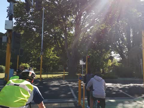
 Traffic Signals —
 pedestrian light not working and bike sensors seem to do nothing as waited several minutes and still not green.
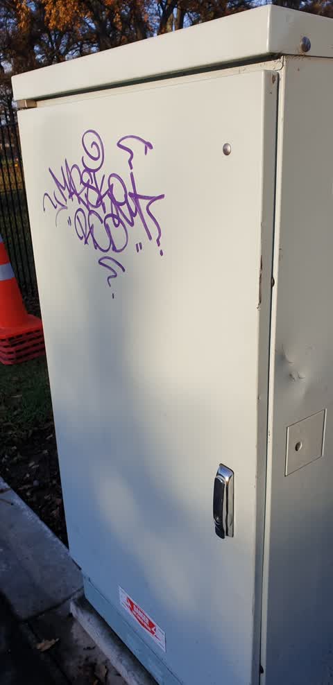
 Graffiti on a traffic light pole or cabinet, or wa —
 this has been here fir over a month.
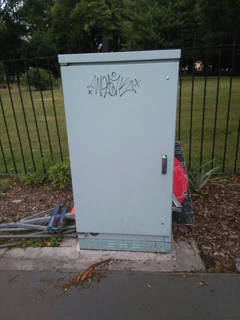
 Graffiti on a traffic light pole or cabinet, or wa —
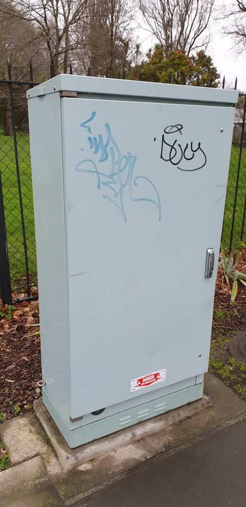
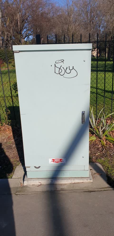
 Black and yellow graffiti on traffic cabinet
 Graffiti on a traffic light pole or cabinet, or wa —
 graffiti
 Graffiti on a road, footpath or bridge —
 - Graffiti —
- Poles and Signage - General —
- Poles and Signage - General —
- Road Signage —
- Road Signage —
- Poles and Signage - General —
- Trees - General —
- Graffiti —
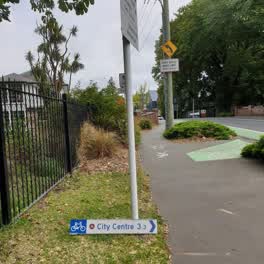 Roading/Streets —
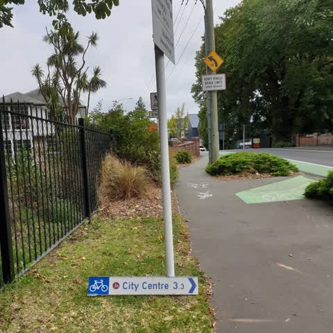
 Looks like some has ripped sign off. I placed it at the base as shown
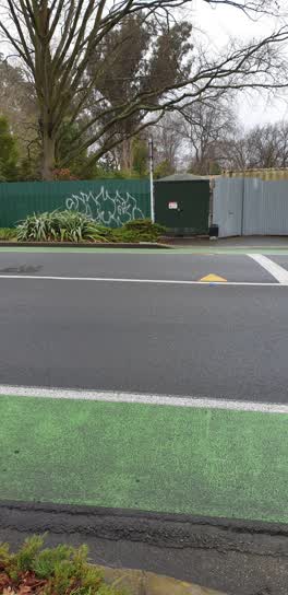 Graffiti —
 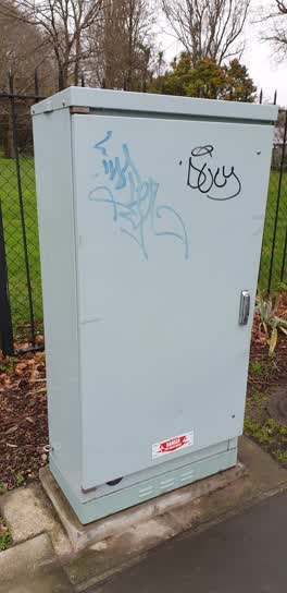 Graffiti —
 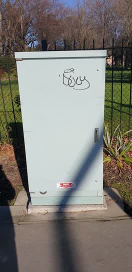 Graffiti —
 Kahu rd outside riccarton bush
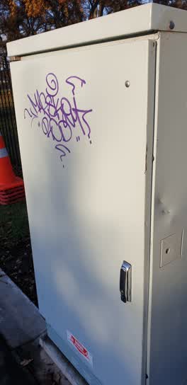 Graffiti —
 QTC Kahu rd beside riccaton house fence
Graffiti —
QTC Traffic Solutions traffic light control box
Roading/Streets —
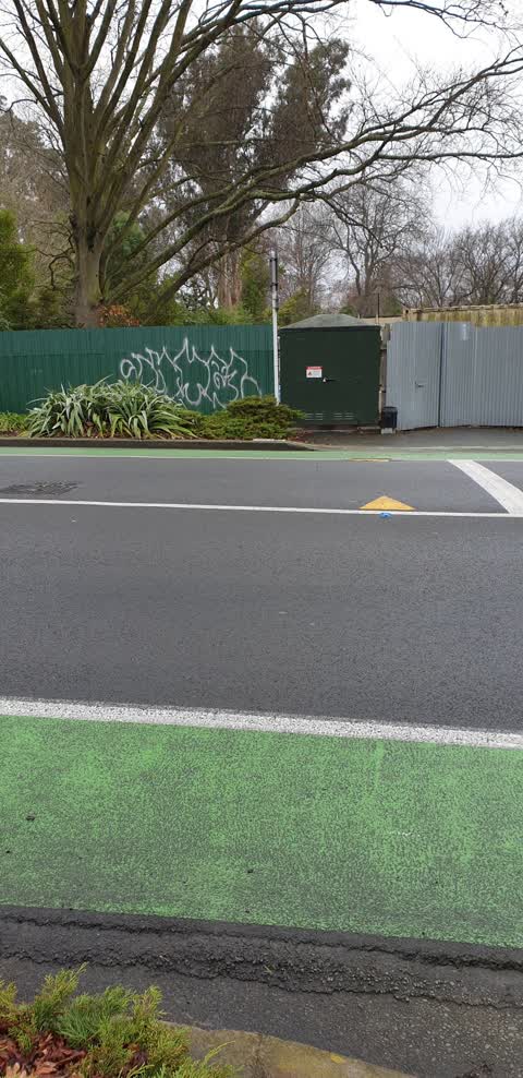
To CTOC Real Time Operations team, the cycle crossing not detecting cyclist.
Roading/Streets —
I crossed the sensors when the traffic lights were red and was not detected. I was heading towards Hagley Park.
Graffiti —
Roading/Streets —
Since road resurfacing balance of light phases worse for cyclists.
Graffiti —
In alleyway
Graffiti —
Orion
Also reported on Kahu Road
- 31 Kahu Road — 18 reports
- 16 Kahu Road — 13 reports
- 34 Kahu Road — 11 reports
- 40 Kahu Road — 10 reports
- 39A Kahu Road — 8 reports
- 25 Kahu Road — 7 reports
- 75 Kahu Road — 5 reports
- 98 Kahu Road — 4 reports
The street’s crash record
NZTA’s record names Kahu Road in 13 crashes that hurt somebody since 2006 — 1 seriously hurt, nobody killed.
The green nearby
- Riccarton Bush — 9 m to the edge · 12 ha
- Avon River Esplanade Reserve — 239 m to the edge
Parks within half a kilometre, measured to the boundary — the council’s open data.
On the doorstep
- Anselm House — 58 m away · B&Bs
- Riccarton Bush - Christchurch Farmers' Market — 124 m away · Markets
- Christchurch Farmers' Market — 131 m away · Marketplace
- The Quarters — 181 m away · Restaurants
Businesses within four hundred metres, measured at the pin — OpenStreetMap and the council directories.
The bus nearby
The closest Metro stops, within four hundred and fifty metres.
The tracks through here
- Walk and bike track through Fendalton — 1 m to the line · walk · bike
- Walk and bike track through Fendalton — 50 m to the line · walk · bike
- Walk and bike track through Fendalton — 56 m to the line · walk · bike
- Walk and bike track through Fendalton — 187 m to the line · walk · bike
- Walk and bike track through Fendalton — 188 m to the line · walk · bike
Tracks whose line passes within half a kilometre, measured to the line itself — the council’s open data.
The named ground
Named water within 500 m of this address, measured to the line or the edge; Named places within 1.5 km of this address; the council’s own structure register — bridges, boardwalks and steps standing nearby — the open map’s record.
Renting nearby
new bonds in Fendalton ran about $618 a week — $68 above the city median of $550 — the suburb page keeps the rent record →.
What was here — Former Riccarton Farm Buildings and Setting
57 m away · 39V Kahu Road · located to ±28 m · the place’s own record →
On the register. Nothing researched here yet.
What was here — Christchurch Boys' High School Main Building and Setting
139 m away · 39 Kahu Road · located to ±58 m · the place’s own record →
On the register. Nothing researched here yet.
What was here — Riccarton Grounds
on this spot · located to ±222 m · the place’s own record →
On the register. Nothing researched here yet.
What was here — Former dwelling and setting, Riccarton
188 m away · 16 Kahu Road · located to ±26 m · the place’s own record →
On the register. Nothing researched here yet.
What was here — Former dwelling and setting, Deans Cottage
232 m away · located to ±7 m · the place’s own record →
On the register. Nothing researched here yet.
The civic layer
This ground votes in Riccarton ward — the Halswell-Hornby-Riccarton community board. Ward lines don’t always follow suburb lines; this one is measured at the pin, not the suburb’s centre.
What stood on this ground → · On the map → · From the air — the Crown’s aerials back to 1936; search the address on RetroLens →
Questions, answered briefly
25 council reports on record since April 2017 — most often graffiti (10), roading/streets (4), poles and signage - general (3).
Fendalton, Christchurch — on Kahu Road.
The heritage register names 5 places at or beside it — Former Riccarton Farm Buildings and Setting, Christchurch Boys' High School Main Building and Setting.
Riccarton Bush — 9 m to its edge, 12 ha.