16 Kahu Road, Fendalton
13 reports on record since February 2017 · 11 with photographs. The street’s heaviest record is 30 Kahu Road — 25 reports on file. Indicative rating valuation and school zones, hazards, bin day and what stood here before.
What gets reported here
- Graffiti — 6
- Overgrown Vegetation — 3
- Traffic Signals — 2
- Roading/Streets — 1
- Park - General Request — 1
Photographed here 11 on record


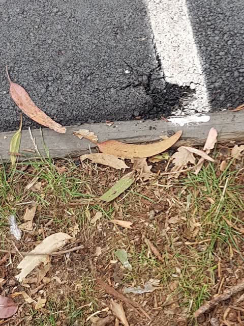
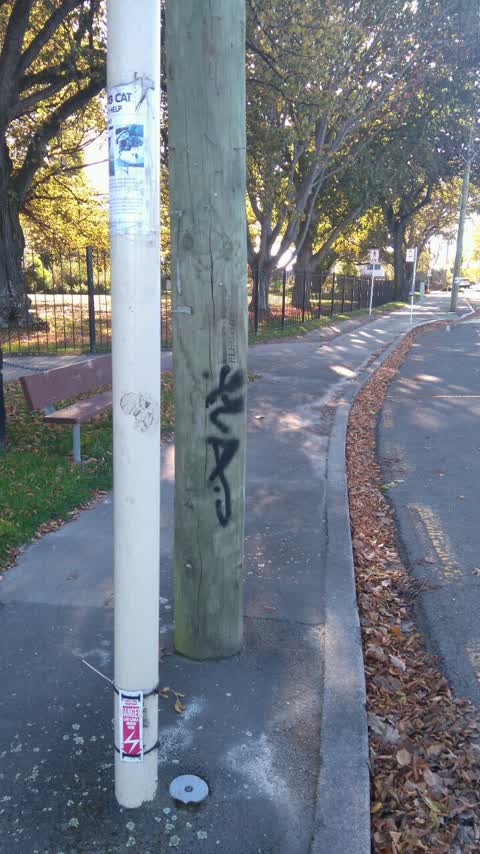
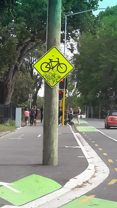
Reported here
 Park - General Request —
 Sharp rebar sticking up by edge of stream where ppl walk
 Overgrown Vegetation —
 Is it possible to have the gardens / shrubs / plants cut back to allow the full width of the shared cycle and pedestrian footpath to be used
 Traffic Signals —
 Cycle and pedestrian call buttons/system not working on Kahu St crossing, except for cycle pad exiting Riccarton Bush
 Overgrown Vegetation —
 convolvuloua on tree and half a dozen small plants at Ricarton Bush entrance just as you enter the car park on the right hand side. this is
 Traffic Signals —
 Green light flickering/intermittent
- Overgrown Vegetation —
- Graffiti —
 Graffiti —
 Lea test graffiti Public Property Riccarton House 16 Kahu
 Graffiti —
 Lea test Graffiti Sinage riccarton house
 Graffiti —
 Lea test
 Roading/Streets —
 uni cyclway through Riccarton House Grounds. Pot holed, grass growing through pavers and bike stands need repainting.
Graffiti —
Power pole
Graffiti —
Also reported on Kahu Road
- 30 Kahu Road — 25 reports
- 31 Kahu Road — 18 reports
- 34 Kahu Road — 11 reports
- 40 Kahu Road — 10 reports
- 39A Kahu Road — 8 reports
- 25 Kahu Road — 7 reports
- 75 Kahu Road — 5 reports
- 98 Kahu Road — 4 reports
The street’s crash record
NZTA’s record names Kahu Road in 13 crashes that hurt somebody since 2006 — 1 seriously hurt, nobody killed.
The green nearby
- Riccarton Bush — you are in it · 12 ha
- Avon River Esplanade Reserve — 339 m to the edge
Parks within half a kilometre, measured to the boundary — the council’s open data.
On the doorstep
- Riccarton Bush - Christchurch Farmers' Market — 25 m away · Markets
- Christchurch Farmers' Market — 42 m away · Marketplace
- The Quarters — 90 m away · Restaurants
- Anselm House — 104 m away · B&Bs
Businesses within four hundred metres, measured at the pin — OpenStreetMap and the council directories.
The bus nearby
The closest Metro stops, within four hundred and fifty metres.
The tracks through here
- Walk and bike track through Fendalton — 17 m to the line · walk · bike
- Walk and bike track through Fendalton — 100 m to the line · walk · bike
- Walk and bike track through Fendalton — 128 m to the line · walk · bike
- Walk and bike track through Fendalton — 257 m to the line · walk · bike
- Walk and bike track through Fendalton — 264 m to the line · walk · bike
Tracks whose line passes within half a kilometre, measured to the line itself — the council’s open data.
The named ground
Named water within 500 m of this address, measured to the line or the edge; Named places within 1.5 km of this address; the council’s own structure register — bridges, boardwalks and steps standing nearby — the open map’s record.
Renting nearby
new bonds in Fendalton ran about $618 a week — $68 above the city median of $550 — the suburb page keeps the rent record →.
What was here — Riccarton Grounds
on this spot · located to ±222 m · the place’s own record →
On the register. Nothing researched here yet.
What was here — Former dwelling and setting, Riccarton
94 m away · 16 Kahu Road · located to ±26 m · the place’s own record →
On the register. Nothing researched here yet.
What was here — Former dwelling and setting, Deans Cottage
141 m away · located to ±7 m · the place’s own record →
On the register. Nothing researched here yet.
What was here — Former Riccarton Farm Buildings and Setting
156 m away · 39V Kahu Road · located to ±28 m · the place’s own record →
On the register. Nothing researched here yet.
What was here — Christchurch Boys' High School Main Building and Setting
223 m away · 39 Kahu Road · located to ±58 m · the place’s own record →
On the register. Nothing researched here yet.
The civic layer
This ground votes in Riccarton ward — the Halswell-Hornby-Riccarton community board. Ward lines don’t always follow suburb lines; this one is measured at the pin, not the suburb’s centre.
What stood on this ground → · On the map → · From the air — the Crown’s aerials back to 1936; search the address on RetroLens →
Questions, answered briefly
13 council reports on record since February 2017 — most often graffiti (6), overgrown vegetation (3), traffic signals (2).
Fendalton, Christchurch — on Kahu Road.
The heritage register names 5 places at or beside it — Riccarton Grounds, Former dwelling and setting, Riccarton.
Riccarton Bush — the address is inside it, 12 ha.