31 Kahu Road, Fendalton
18 reports on record since November 2018 · 13 with photographs. The street’s heaviest record is 30 Kahu Road — 25 reports on file. Indicative rating valuation and school zones, hazards, bin day and what stood here before.
What gets reported here
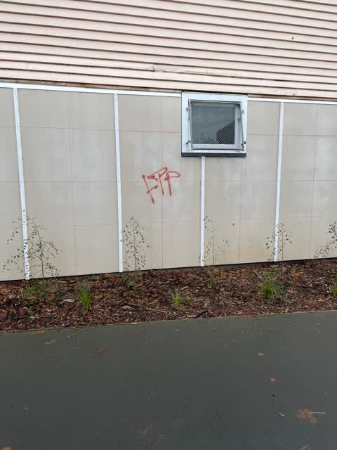
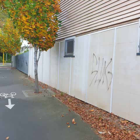
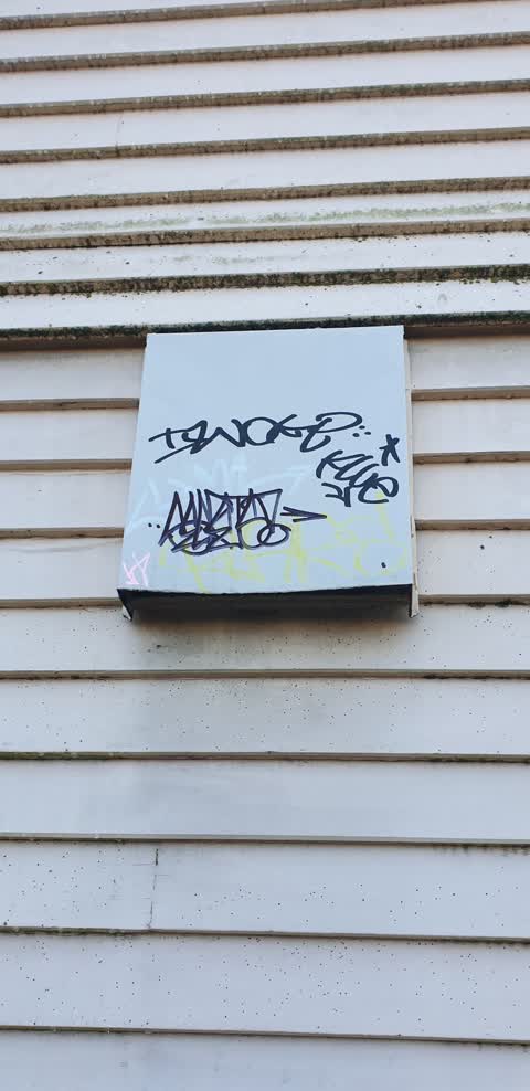
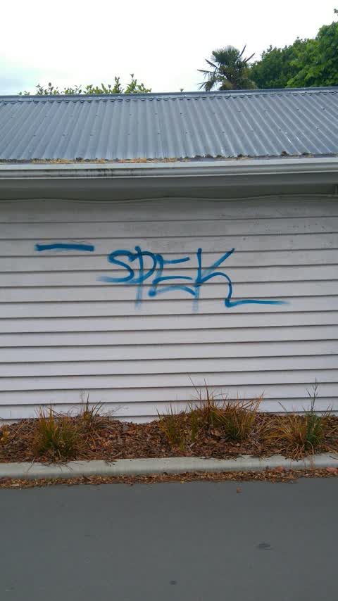
- Graffiti — 9
- Trees - General — 2
- Vandalism - General — 1
- Roads - General — 1
- Pavement - General — 1
- Pavement - Damaged — 1
Photographed here 13 on record


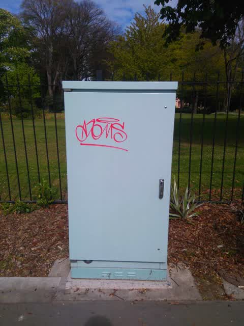
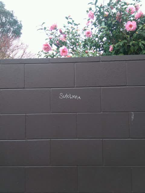
Reported here
 Trees - General —
 Dead tree, danger of falling onto pedestrian walk way
 Pavement - General —
 Tree surrounds in cycle lane down back off boys high are a safety issue. Raised concrete, holes and missing trees. Please can the tree holes
 Pavement - Damaged —
 Trip hazard, I reported this before but not fixed
 Overgrown Vegetation —
 Tree above cycleway needs a wee trim - hits your head when on a bike
 Graffiti on a road, footpath or bridge —
 On cycle path between Matai and Riccarton Bush
 Graffiti —
 - Graffiti —
- General Request —
- Roads - General —
- Vandalism - General —
- Trees - General —
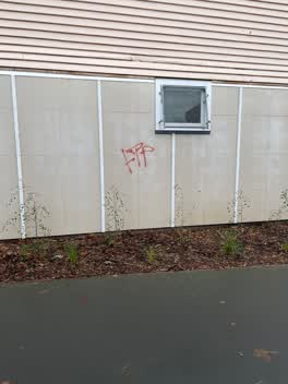 Graffiti —
 Along the cycle walkway on CBHS property
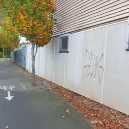 Graffiti —
 Several works in lane between kahu & straven roads
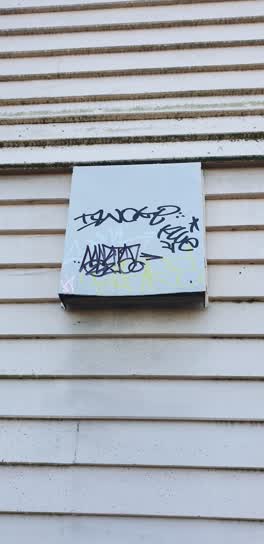 Graffiti —
 Boys high walkway between kahu st & straven rd
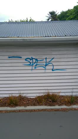 Graffiti —
 along the lane by Boys' High School
Graffiti —
Graffiti —
along walkway between Boys High and Kahu Road and Straven Road
Graffiti —
Also reported on Kahu Road
- 30 Kahu Road — 25 reports
- 16 Kahu Road — 13 reports
- 34 Kahu Road — 11 reports
- 40 Kahu Road — 10 reports
- 39A Kahu Road — 8 reports
- 25 Kahu Road — 7 reports
- 75 Kahu Road — 5 reports
- 98 Kahu Road — 4 reports
The street’s crash record
NZTA’s record names Kahu Road in 13 crashes that hurt somebody since 2006 — 1 seriously hurt, nobody killed.
The green nearby
- Riccarton Bush — 37 m to the edge · 12 ha
- Avon River Esplanade Reserve — 209 m to the edge
Parks within half a kilometre, measured to the boundary — the council’s open data.
On the doorstep
- Anselm House — 82 m away · B&Bs
- Riccarton Bush - Christchurch Farmers' Market — 154 m away · Markets
- Christchurch Farmers' Market — 164 m away · Marketplace
- The Quarters — 214 m away · Restaurants
Businesses within four hundred metres, measured at the pin — OpenStreetMap and the council directories.
The bus nearby
The closest Metro stops, within four hundred and fifty metres.
The tracks through here
- Walk and bike track through Fendalton — 31 m to the line · walk · bike
- Walk and bike track through Fendalton — 35 m to the line · walk · bike
- Walk and bike track through Fendalton — 76 m to the line · walk · bike
- Walk and bike track through Fendalton — 156 m to the line · walk · bike
- Walk and bike track through Fendalton — 156 m to the line · walk · bike
Tracks whose line passes within half a kilometre, measured to the line itself — the council’s open data.
The named ground
Named water within 500 m of this address, measured to the line or the edge; Named places within 1.5 km of this address; the council’s own structure register — bridges, boardwalks and steps standing nearby — the open map’s record.
Renting nearby
new bonds in Fendalton ran about $618 a week — $68 above the city median of $550 — the suburb page keeps the rent record →.
What was here — Former Riccarton Farm Buildings and Setting
on this spot · 39V Kahu Road · located to ±28 m · the place’s own record →
On the register. Nothing researched here yet.
What was here — Christchurch Boys' High School Main Building and Setting
130 m away · 39 Kahu Road · located to ±58 m · the place’s own record →
On the register. Nothing researched here yet.
What was here — Riccarton Grounds
on this spot · located to ±222 m · the place’s own record →
On the register. Nothing researched here yet.
What was here — Former dwelling and setting, Riccarton
220 m away · 16 Kahu Road · located to ±26 m · the place’s own record →
On the register. Nothing researched here yet.
The civic layer
This ground votes in Fendalton ward — the Fendalton-Waimairi-Harewood community board. Ward lines don’t always follow suburb lines; this one is measured at the pin, not the suburb’s centre.
What stood on this ground → · On the map → · From the air — the Crown’s aerials back to 1936; search the address on RetroLens →
Questions, answered briefly
18 council reports on record since November 2018 — most often graffiti (9), trees - general (2), vandalism - general (1).
Fendalton, Christchurch — on Kahu Road.
The heritage register names 4 places at or beside it — Former Riccarton Farm Buildings and Setting, Christchurch Boys' High School Main Building and Setting.
Riccarton Bush — 37 m to its edge, 12 ha.