200 Tunnel Road, Ferrymead
13 reports on record since October 2018 · 12 with photographs. The most-reported address on Tunnel Road. Indicative rating valuation and school zones, hazards, bin day and what stood here before.
What gets reported here
Photographed here 12 on record



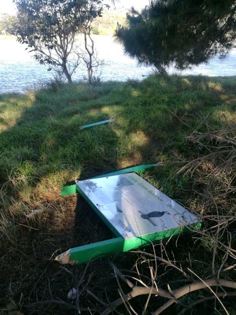
Reported here
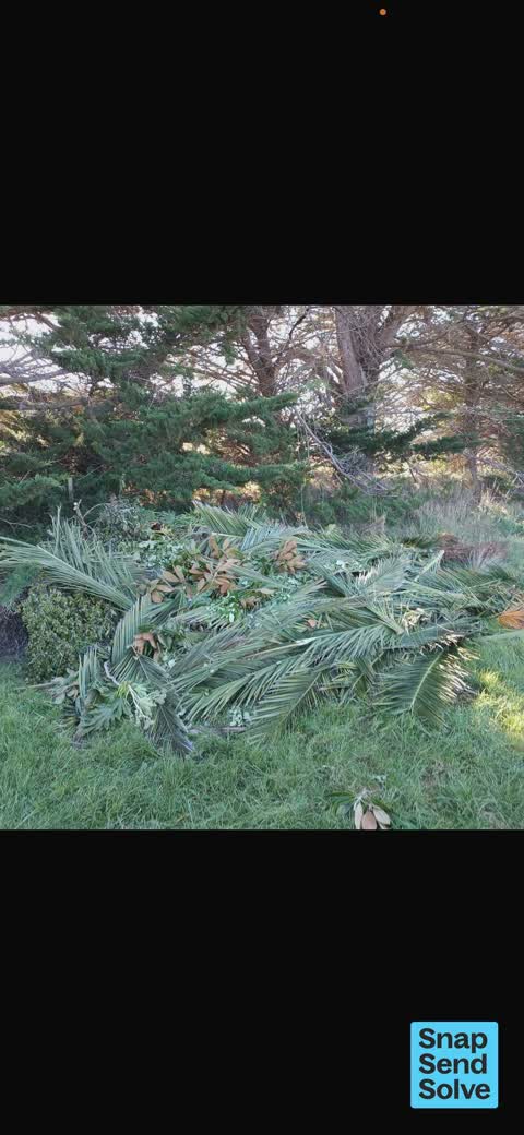
 Dumped Rubbish —
 Palm leaves and garden waste dumped at northern end of Scruttons Road at CCC horse paddock entrance. NOTE! This is on Scruttons Road and NOT
 Graffiti on a fence, building or structure —
 Graffiti on fence
 Dumped Rubbish —
 Again, this has been reported and not acted upon. This is actually on riadside land on Scruttons road before CCC land.
 Dumped Rubbish —
 Dumped rubbish
 Graffiti on a sign, mural or public art —
 On curve of cycle way. Please.
 Graffiti on a fence, building or structure —
 Can you please remove before more are added? Thanks.
 Graffiti on a road, footpath or bridge —
 On cycle way
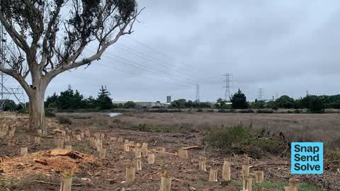
 Overgrown Vegetation —
 Tree slash left behind after removing the macrocarpa trees. Could this be removed before it is washed away please? Many thanks for the aweso
 Overgrown Vegetation —
 Lots of debri left after tree removal in the river estuary. Can this be removed please? Many thanks
- Park - General Request —
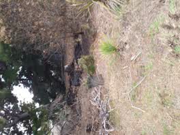 Parks —
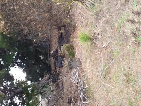
 second attempted fire on track
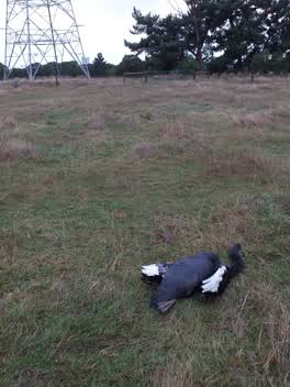 Parks —
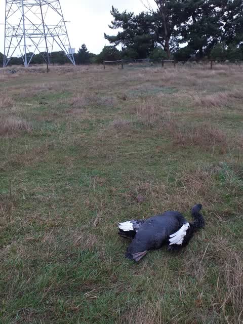
 swan still alive needs vet assistance
Parks —
Also reported on Tunnel Road
- 280 Tunnel Road — 12 reports
- 250 Tunnel Road — 6 reports
- 278 Tunnel Road — 1 report
The street’s crash record
NZTA’s record names Tunnel Road in 3 crashes that hurt somebody since 2006 — 1 person killed, 0 seriously hurt.
The green nearby
- Ferrymead Park — you are in it · Regional · 77 ha
- Kennaway Drainage Reserve — 332 m to the edge
- Tunnel Road Drainage Reserve — 402 m to the edge
- Heathcote Riverbank True Right — 426 m to the edge · 8 ha
- Ferry Esplanade Reserve — 447 m to the edge · 1 ha
Parks within half a kilometre, measured to the boundary — the council’s open data.
On the doorstep
- Ferrymead Golf Course — 387 m away · Golf courses
Businesses within four hundred metres, measured at the pin — OpenStreetMap and the council directories.
The tracks through here
- Walk and bike track through Ferrymead — 445 m to the line · walk · bike
Tracks whose line passes within half a kilometre, measured to the line itself — the council’s open data.
The named ground
Named water within 500 m of this address, measured to the line or the edge; the council’s own structure register — bridges, boardwalks and steps standing nearby — the open map’s record.
The civic layer
This ground votes in Heathcote ward — the Spreydon-Cashmere-Heathcote community board. Ward lines don’t always follow suburb lines; this one is measured at the pin, not the suburb’s centre.
What stood on this ground → · On the map → · From the air — the Crown’s aerials back to 1936; search the address on RetroLens →
Questions, answered briefly
13 council reports on record since October 2018 — most often parks (3), dumped rubbish (3), overgrown vegetation (2).
Ferrymead, Christchurch — on Tunnel Road.
Nothing on the heritage register at this exact spot — the record around this ground →
Ferrymead Park — the address is inside it, 77 ha.