280 Tunnel Road, Ferrymead
12 reports on record since February 2021 · 10 with photographs. The street’s heaviest record is 200 Tunnel Road — 13 reports on file. Indicative rating valuation and school zones, hazards, bin day and what stood here before.
What gets reported here
Photographed here 10 on record


Reported here
 Dumped Rubbish —
 Dumped mattress on pathway near tunnel road
 Abandoned Vehicle —
 how much more of this car is going to disappear before it is removed for safekeeping, at least 2 doors and bonnet have gone so far and an a
- Abandoned Vehicle —
On Tunnel Road not far from roundabout on the west side of the road is a car parked which looks abandoned. We saw the car there on Monday th
 Graffiti on a fence, building or structure —
 Visible from motor way. Thank you.
 Graffiti on a fence, building or structure —
  Graffiti on a fence, building or structure —
  Graffiti on a fence, building or structure —
 Please cover up. Thanks.
 Dumped Rubbish —
  Litter —
 Rubbish dumped side of road
- Animal - Deceased —
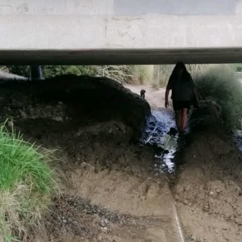
Flooding —
Under the bridge. Looks like maybe pipe burst?
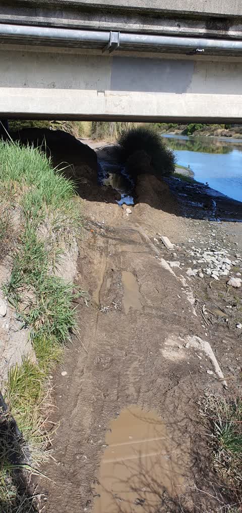
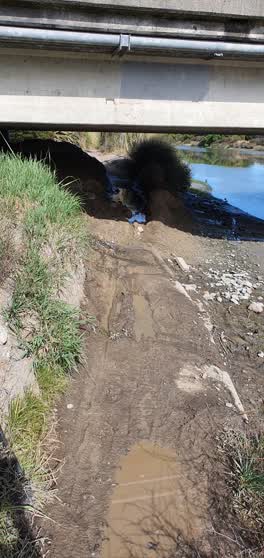 Roading/Streets —
 constanly used walking track under ferry road tunnel road bridge ..used for hundreds every week ..needs attention and work done shingle to
Also reported on Tunnel Road
- 200 Tunnel Road — 13 reports
- 250 Tunnel Road — 6 reports
- 278 Tunnel Road — 1 report
The street’s crash record
NZTA’s record names Tunnel Road in 3 crashes that hurt somebody since 2006 — 1 person killed, 0 seriously hurt.
The green nearby
- Tunnel Road Reserve — 68 m to the edge · 3 ha
- Heathcote Riverbank True Right — 75 m to the edge · 8 ha
- Roundabout Reserve — 101 m to the edge
- Kotuku Reserve — 206 m to the edge · 1 ha
- Ferrymead Park — 251 m to the edge · Regional · 77 ha
Parks within half a kilometre, measured to the boundary — the council’s open data.
The bus nearby
- Ferry Rd near Tunnel Rd — 136 m away · route 3, route 155
- Ferry Rd near Dyers Rd — 141 m away · route 3, route 155
The closest Metro stops, within four hundred and fifty metres.
The tracks through here
- Walk and bike track through Ferrymead — 115 m to the line · walk · bike
- Walk and bike track through Ferrymead — 133 m to the line · walk · bike
- Walk and bike track through Ferrymead — 145 m to the line · walk · bike
- Walk and bike track through Ferrymead — 238 m to the line · walk · bike
- Walk and bike track through Ferrymead — 244 m to the line · walk · bike
Tracks whose line passes within half a kilometre, measured to the line itself — the council’s open data.
The named ground
Named water within 500 m of this address, measured to the line or the edge; the council’s own structure register — bridges, boardwalks and steps standing nearby — the open map’s record.
The remembered names nearby
- This Bollard… the Steam Wharf… — 124 m away ·
THIS BOLLARD… THE STEAM WHARF…
· 2003
Inscribed plaques within two hundred and fifty metres — the register’s pins, not surveyed spots. The whole roll is at /plaques.
The civic layer
This ground votes in Heathcote ward — the Spreydon-Cashmere-Heathcote community board. Ward lines don’t always follow suburb lines; this one is measured at the pin, not the suburb’s centre.
What stood on this ground → · On the map → · From the air — the Crown’s aerials back to 1936; search the address on RetroLens →
Questions, answered briefly
12 council reports on record since February 2021 — most often graffiti on a fence, building or structure (4), dumped rubbish (2), abandoned vehicle (2).
Ferrymead, Christchurch — on Tunnel Road.
Nothing on the heritage register at this exact spot — the record around this ground →
Tunnel Road Reserve — 68 m to its edge, 3 ha.