301 Halswell Road, Halswell
14 reports on record since January 2019 · 11 with photographs. The street’s heaviest record is 305 Halswell Road — 57 reports on file. Indicative rating valuation and school zones, hazards, bin day and what stood here before.
What gets reported here
- Graffiti — 5
- Water Fountain — 1
- Roading/Streets — 1
- Parks — 1
- Park - General Request — 1
- Litter — 1
Photographed here 11 on record



Reported here
 Facility - General Request —
 Rubbish bin is full.
 Park - General Request —
 Refer to rangers . Broken bollard. My advice is remove bollard and cabling. Leave existing bollards as causing no harm but no real requirem
 Litter —
 Broken glass in and around monkey bar area.
 Water Fountain —
 Have a chat with Arnold from church, broken drinking fountain since Covid times
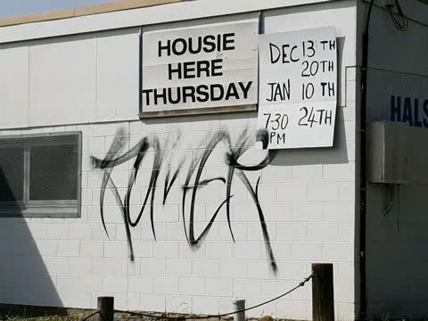
 Graffiti on a playground or in a park —
 The door has been broken on the water fountain.
- Fallen Tree —
- Graffiti —
- Hazard — vehicle —
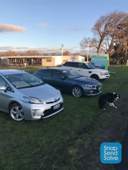 Roading/Streets —
 Cars for sale on side of road and trailer advertising preschool
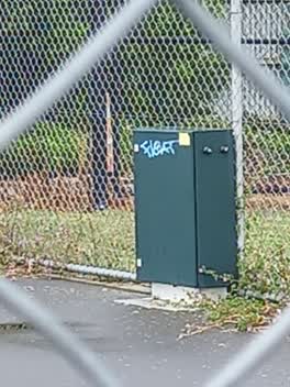 Graffiti —
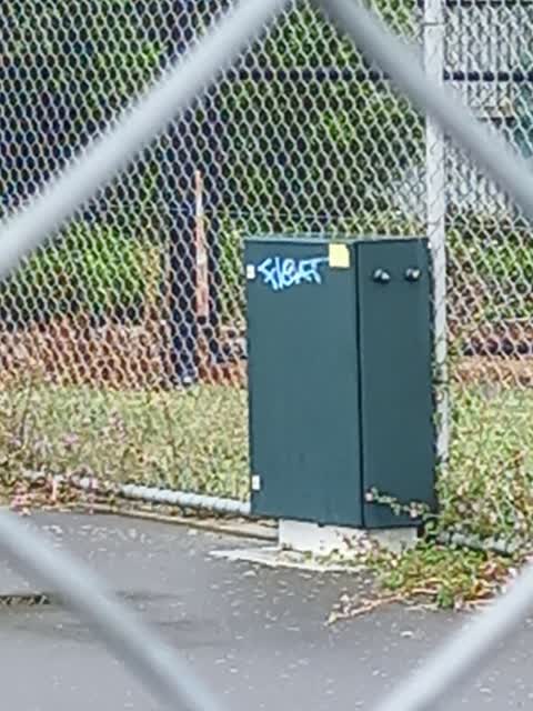
 Halswell Domain- Graffiti on utility box on edge of netball/tennis courts near Bowling Club
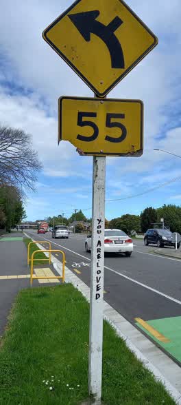 Graffiti —
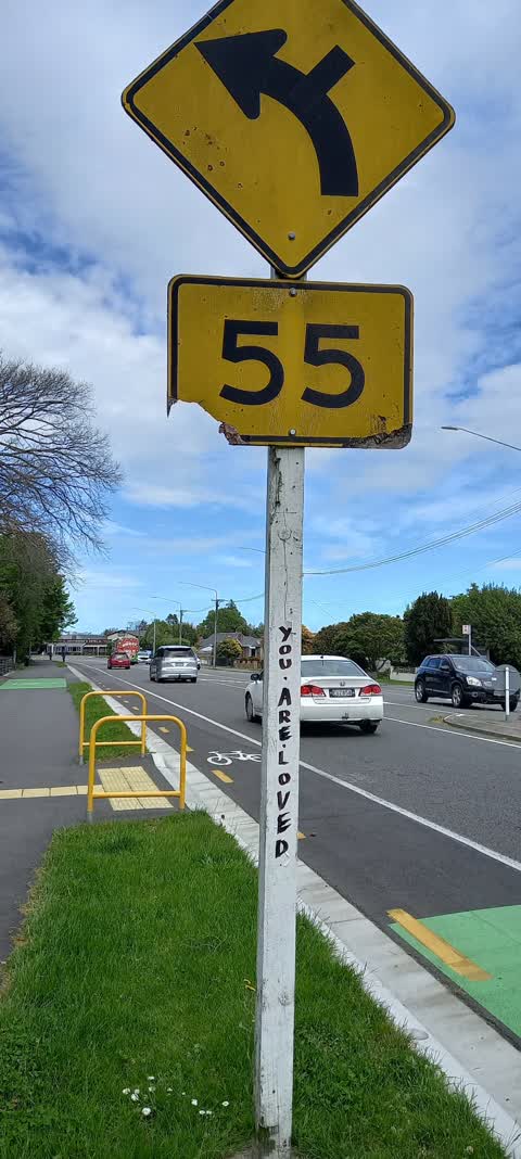
 Halswell Rd by Bowling Club - Graffiti on speed sign pole. Looks like a stickerof some sort
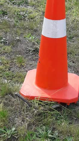 Parks —
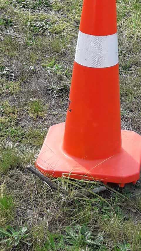
 metal coming out of the ground
Graffiti —
Graffiti —
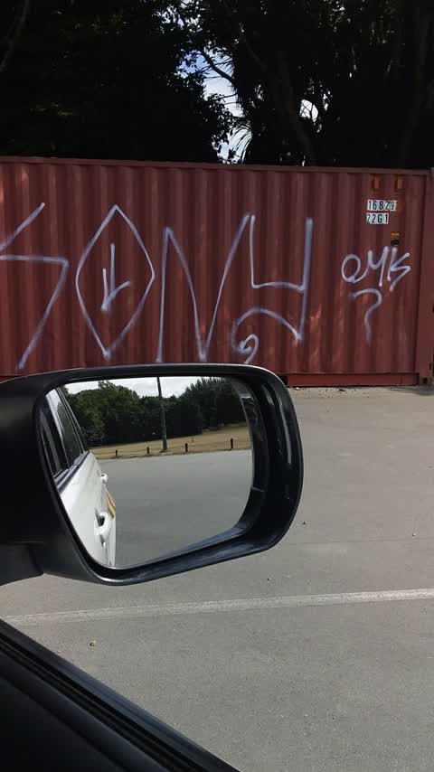
Halswell Blowing club. Colour for removal = white
Also reported on Halswell Road
- 305 Halswell Road — 57 reports
- 347A Halswell Road — 55 reports
- 303 Halswell Road — 19 reports
- 346 Halswell Road — 17 reports
- 341 Halswell Road — 16 reports
- 514 Halswell Road — 15 reports
- 339 Halswell Road — 15 reports
- 329 Halswell Road — 13 reports
The street’s crash record
NZTA’s record names Halswell Road in 32 crashes that hurt somebody since 2006 — 3 people killed, 6 seriously hurt.
The green nearby
- Halswell Domain — you are in it · Sports ground · 26 ha
- Old Red Barn Drainage Reserve — 332 m to the edge
- Fern Reserve — 360 m to the edge
- The Oaks Park — 449 m to the edge
- John Olliver Reserve — 455 m to the edge · 2 ha
Parks within half a kilometre, measured to the boundary — the council’s open data.
The civic shelf nearby
- Halswell — 336 m away · Recreation centre · 339 Halswell Road
- Te Hāpua: Halswell Centre — 392 m away · Library · 341 Halswell Road, Halswell 8025
Libraries, halls and the rest within half a kilometre — the council’s open data.
On the doorstep
- Halswell Bowling Club — 55 m away · Clubs
- Halswell Rugby League — 109 m away · Sports centres
- Halswell Fish & Chips — 168 m away · Fast food
- Halswell Fish and Chip Shop — 172 m away · Fast food
Businesses within four hundred metres, measured at the pin — OpenStreetMap and the council directories.
The bus nearby
The closest Metro stops, within four hundred and fifty metres.
The tracks through here
- Walk and bike track through Halswell — 106 m to the line · walk · bike
- Walk and bike track through Halswell — 397 m to the line · walk · bike
Tracks whose line passes within half a kilometre, measured to the line itself — the council’s open data.
The named ground
Named water within 500 m of this address, measured to the line or the edge; the council’s own structure register — bridges, boardwalks and steps standing nearby — the open map’s record.
The remembered names nearby
- Halswell Domain plaque — 56 m away ·
(Red granite plaque – text illegible)
· 2008 - Halswell Domain plaque — 77 m away ·
(Weathered bronze plaque – text unreadable)
· 2008 - This Tree Was Planted to Commemorate the 50th Anniversary — 88 m away ·
THIS TREE WAS PLANTED TO COMMEMORATE THE 50TH ANNIVERSARY OF THE HALSWELL SCOUT GROUP 1955
· 2008
Inscribed plaques within two hundred and fifty metres — the register’s pins, not surveyed spots. The whole roll is at /plaques.
Renting nearby
new bonds in Halswell ran about $697 a week — $147 above the city median of $550 — the suburb page keeps the rent record →.
What was here — Halswell War Memorial and Setting
100 m away · located to ±3 m · the place’s own record →
On the register. Nothing researched here yet.
What was here — St Mary's Church Lychgate and Setting
174 m away · located to ±3 m · the place’s own record →
On the register. Nothing researched here yet.
What was here — St Mary's Church Graveyard
191 m away · located to ±73 m · the place’s own record →
On the register. Nothing researched here yet.
What was here — St Mary's Church and Setting
207 m away · located to ±14 m · the place’s own record →
On the register. Nothing researched here yet.
The civic layer
This ground votes in Halswell ward — the Halswell-Hornby-Riccarton community board. Ward lines don’t always follow suburb lines; this one is measured at the pin, not the suburb’s centre.
What stood on this ground → · On the map → · From the air — the Crown’s aerials back to 1936; search the address on RetroLens →
Questions, answered briefly
14 council reports on record since January 2019 — most often graffiti (5), water fountain (1), roading/streets (1).
Halswell, Christchurch — on Halswell Road.
The heritage register names 4 places at or beside it — Halswell War Memorial and Setting, St Mary's Church Lychgate and Setting.
Halswell Domain — the address is inside it, 26 ha.