53 Milns Road, Halswell
13 reports on record since December 2019 · 10 with photographs. The street’s heaviest record is 168 Milns Road — 36 reports on file. Indicative rating valuation and school zones, hazards, bin day and what stood here before.
What gets reported here
- Parks — 4
- Overgrown Vegetation — 3
- Pavement - Damaged — 1
- Park - General Request — 1
- Noise - Construction — 1
- Litter — 1
Photographed here 10 on record




Reported here
 Park - General Request —
 The westerly, I think, corner. The one furtherest from the intersection, has very uneven ground. I tripped and fell asleep i was walking acr
 Overgrown Vegetation —
 The grassy weeds are starting to overtake the plants.
 Overgrown Vegetation —
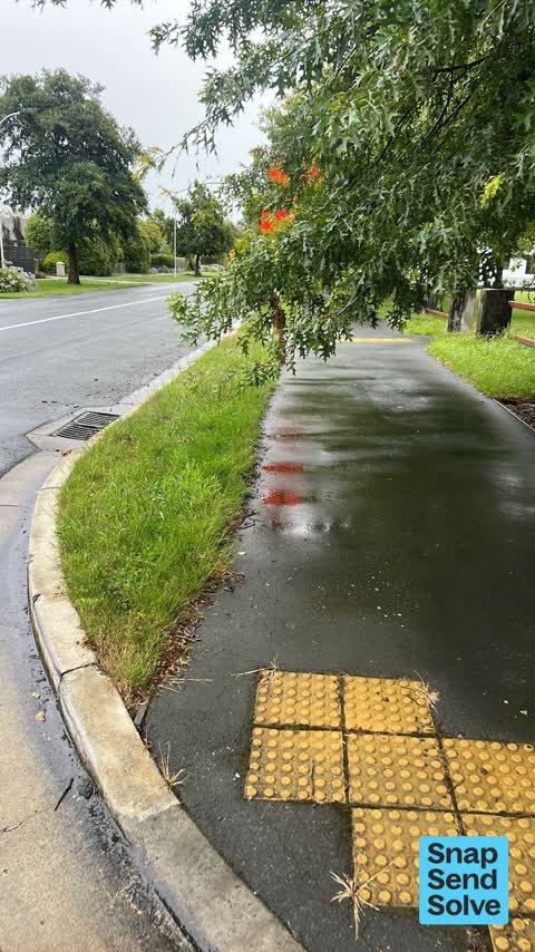
 Over grown branches on the trees my Milns Park playground - blocking the footpaths
 Litter —
 A rubbish bin would be great at this park. Always a lot of litter here. Even has a post here ready to attach it to. Whitburn park, corner of
 Pavement - Damaged —
 Tree roots are lifting bricks in path on eastern entrance to Milns Park playground. Bricks were lifted out and thrown in the garden when I a
 Overgrown Vegetation —
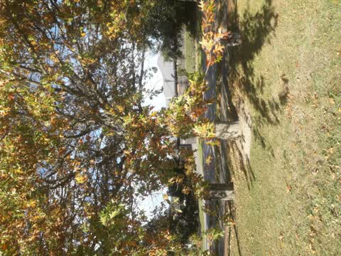
 Large broken branch of tree near Milns park playground
 Fallen Tree —
 Tree in park behind park chair has broken a large branch from it and is partly across a parth way
- Dumped Rubbish —
- Noise - Construction —
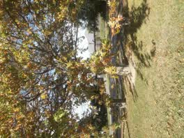 Parks —
 low hanging trees that need trimming
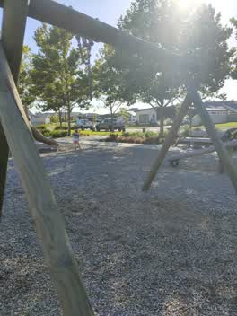 Parks —
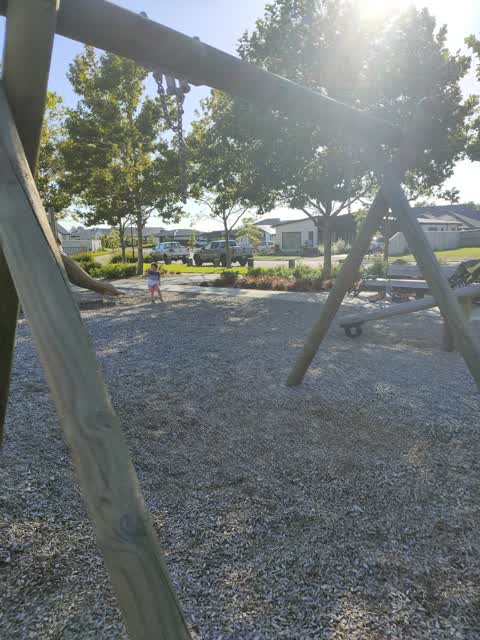
 The basket swing from the park on Milns Road is missing again, unsure if it's been stolen or taken away by council
- Parks —
Basket swing missing?
Parks —
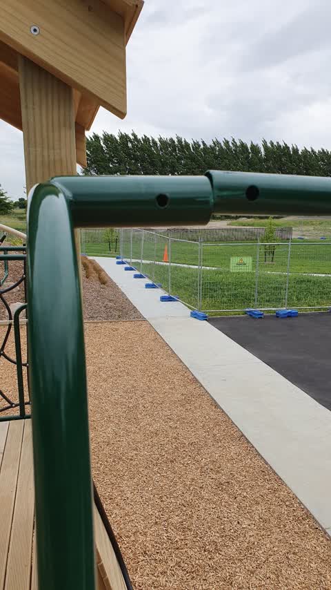
Pole in playground missing a bolt. Potentially dangerous. new playground in new subdivision.
Also reported on Milns Road
- 168 Milns Road — 36 reports
- 98 Milns Road — 21 reports
- 144 Milns Road — 9 reports
- 149 Milns Road — 8 reports
- 146 Milns Road — 7 reports
- 70 Milns Road — 5 reports
- 58 Milns Road — 5 reports
- 93 Milns Road — 4 reports
The street’s crash record
NZTA’s record names Milns Road in 16 crashes that hurt somebody since 2006 — 1 person killed, 1 seriously hurt.
The green nearby
- Forgan Reserve — 169 m to the edge
- John Olliver Reserve — 247 m to the edge · 2 ha
- Halswell Domain — 392 m to the edge · Sports ground · 26 ha
- Milns Reserve — 421 m to the edge
- Milns Drainage Reserve — 436 m to the edge · 1 ha
Parks within half a kilometre, measured to the boundary — the council’s open data.
The tracks through here
- Walk and bike track through Halswell — 291 m to the line · walk · bike
Tracks whose line passes within half a kilometre, measured to the line itself — the council’s open data.
The named ground
Named water within 500 m of this address, measured to the line or the edge; the council’s own structure register — bridges, boardwalks and steps standing nearby — the open map’s record.
Renting nearby
new bonds in Halswell ran about $697 a week — $147 above the city median of $550 — the suburb page keeps the rent record →.
The civic layer
This ground votes in Halswell ward — the Halswell-Hornby-Riccarton community board. Ward lines don’t always follow suburb lines; this one is measured at the pin, not the suburb’s centre.
What stood on this ground → · On the map → · From the air — the Crown’s aerials back to 1936; search the address on RetroLens →
Questions, answered briefly
13 council reports on record since December 2019 — most often parks (4), overgrown vegetation (3), pavement - damaged (1).
Halswell, Christchurch — on Milns Road.
Nothing on the heritage register at this exact spot — the record around this ground →
Forgan Reserve — 169 m to its edge.