98 Milns Road, Halswell
21 reports on record since October 2015 · 17 with photographs. The street’s heaviest record is 168 Milns Road — 36 reports on file. Indicative rating valuation and school zones, hazards, bin day and what stood here before.
What gets reported here
- Water Leak — 15
- Water General — 2
- Graffiti — 2
- Trees - General — 1
- Roads - General — 1
Photographed here 17 on record





Reported here
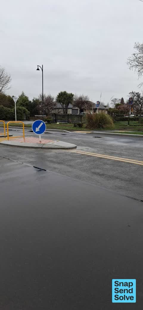
 Roads - General —
 Road marking directs you into island?
 Trees - General —
 dead tree overhanging public pathway
 Water General —
 Door to water mains is wide open. It needs a key to lock it.
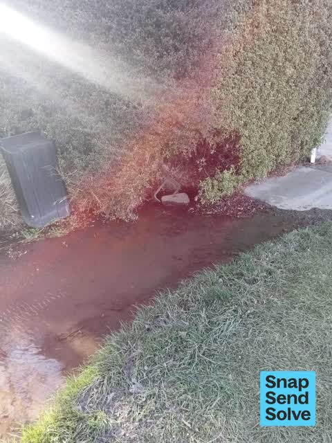
 Water Leak —
 Water has been leaking for about 3 weeks
 Water Leak —
  Water Leak —
 When are they coming back to fix this?..
 Water Leak —
 Leaking Toby box for at least the last 2 weeks
 Water Leak —
 Puddle of water coming from grill. Corner of John Oliver reserve and milns road , by the walkway that goes through to marsack crescent
 Water Leak —
 Water leak across footpath still not fixed
 Water General —
 Leaking near this pump across the path
 Water Leak —
 Still a big water leak covering footpath. Was reported earlier in week but still no action.
 Water Leak —
 Water flooding footpath
 Water Leak —
 Leak near pumping station(?) On Milns Rd. Dark so not sure where it's coming from.
 Water Leak —
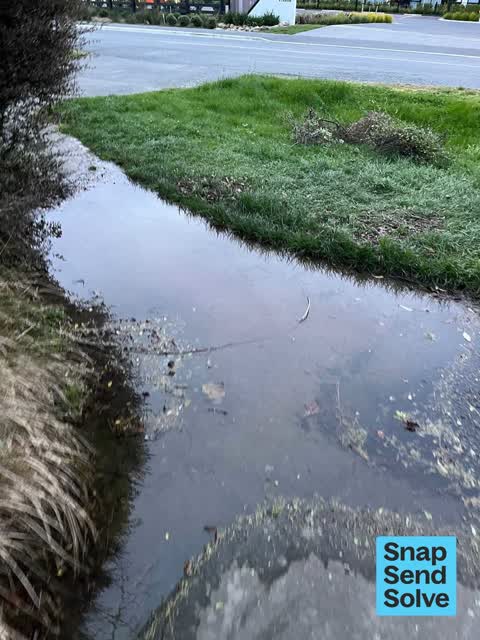
  Water Leak —
 Appears to be a water leak. Puddle has grown bigger over the last few days.
 Water Leak —
 Leak location unknown
- Water Leak —
- Water Leak —
- Water Leak —
- Graffiti —
Graffiti —
Also reported on Milns Road
- 168 Milns Road — 36 reports
- 53 Milns Road — 13 reports
- 144 Milns Road — 9 reports
- 149 Milns Road — 8 reports
- 146 Milns Road — 7 reports
- 70 Milns Road — 5 reports
- 58 Milns Road — 5 reports
- 93 Milns Road — 4 reports
The street’s crash record
NZTA’s record names Milns Road in 16 crashes that hurt somebody since 2006 — 1 person killed, 1 seriously hurt.
The green nearby
- John Olliver Reserve — 1 m to the edge · 2 ha
- Milns Drainage Reserve — 36 m to the edge · 1 ha
- Milns Reserve — 43 m to the edge
- Forgan Reserve — 181 m to the edge
- Cridland Drainage Reserve — 295 m to the edge
Parks within half a kilometre, measured to the boundary — the council’s open data.
On the doorstep
- Banbury Park Village — 298 m away · Business
Businesses within four hundred metres, measured at the pin — OpenStreetMap and the council directories.
The tracks through here
- Walk and bike track through Halswell — 34 m to the line · walk · bike
Tracks whose line passes within half a kilometre, measured to the line itself — the council’s open data.
The named ground
Named water within 500 m of this address, measured to the line or the edge; the council’s own structure register — bridges, boardwalks and steps standing nearby — the open map’s record.
Renting nearby
new bonds in Halswell ran about $697 a week — $147 above the city median of $550 — the suburb page keeps the rent record →.
The civic layer
This ground votes in Halswell ward — the Halswell-Hornby-Riccarton community board. Ward lines don’t always follow suburb lines; this one is measured at the pin, not the suburb’s centre.
What stood on this ground → · On the map → · From the air — the Crown’s aerials back to 1936; search the address on RetroLens →
Questions, answered briefly
21 council reports on record since October 2015 — most often water leak (15), water general (2), graffiti (2).
Halswell, Christchurch — on Milns Road.
Nothing on the heritage register at this exact spot — the record around this ground →
John Olliver Reserve — 1 m to its edge, 2 ha.