56 Clyde Road, Ilam
19 reports on record since June 2021 · 8 with photographs. The street’s heaviest record is 43 Clyde Road — 36 reports on file. Indicative rating valuation and school zones, hazards, bin day and what stood here before.
What gets reported here
- Overgrown Vegetation — 5
- Graffiti — 5
- Damaged Road — 2
- Water Pollution - Sediment — 1
- Water Leak — 1
- Roads - General — 1
Photographed here 8 on record


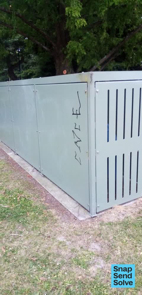

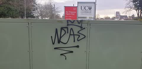
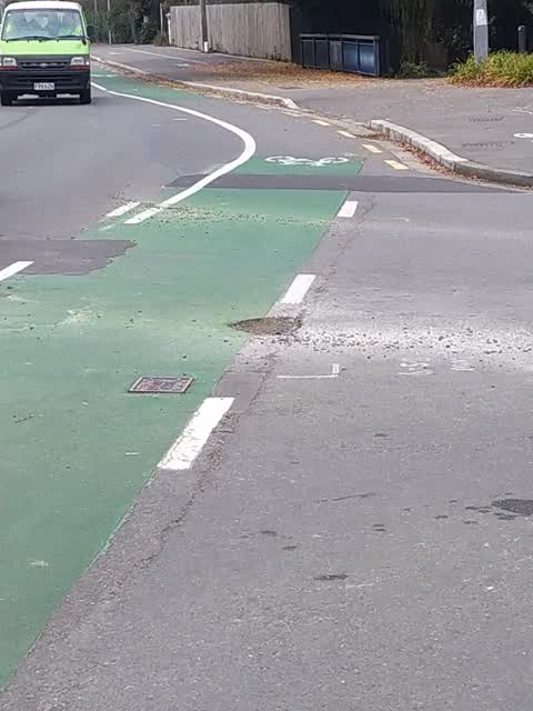
Reported here
 Pavement - Damaged —
 Trip hazard. Tiles raised by tree roots. Fell over yesterday. Highly embarrassing
- Roads - General —
Can you please make sure signage in Clyde rd prevents people turning right out of university drive onto what is effectively a one way road w
 Water Pollution - Sediment —
 There is debris and dirt that has accumulated in the river that borders 56 Clyde Road and other homes. I have taken photos. It is starting t
 Water Leak —
 The Toby at the top of our drive, leading to 56A Clyde Rd is leaking again. This was repaired a year or so again, but appears to have failed
 Pothole —
 On Clyde Road by University Drive
 Graffiti —
 - Overgrown Vegetation —
- Overgrown Vegetation —
- Overgrown Vegetation —
- Overgrown Vegetation —
- Overgrown Vegetation —
- Graffiti —
- Damaged Road —
- Damaged Road —
- Graffiti —
- Graffiti —
 Damaged Street Sign —
 This fall over
 Graffiti —
 UofC Clyde rd
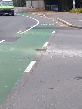 Roading/Streets —
 Deep potholes on both sides of Clyde Road at this junction
Also reported on Clyde Road
- 43 Clyde Road — 36 reports
- 96 Clyde Road — 17 reports
- 54 Clyde Road — 11 reports
- 31 Clyde Road — 11 reports
- 75 Clyde Road — 9 reports
- 50A Clyde Road — 9 reports
- 48 Clyde Road — 8 reports
- 46 Clyde Road — 8 reports
The street’s crash record
NZTA’s record names Clyde Road in 76 crashes that hurt somebody since 2006 — 10 seriously hurt, nobody killed.
The green nearby
- Milnebank Reserve — 436 m to the edge
Parks within half a kilometre, measured to the boundary — the council’s open data.
On the doorstep
- The Est@blishment Boutique Accommodation — 76 m away · B&Bs
- Mix Cafe — 253 m away · Cafés
- UC Print & Copy Centre — 276 m away · Printers & copy shops
- Oncampus - Catering & Events — 385 m away · Caterers
Businesses within four hundred metres, measured at the pin — OpenStreetMap and the council directories.
The bus nearby
- Clyde Rd near Hinau St — 158 m away · route 100, route 120
- Clyde Rd near Arts Rd — 262 m away · route 100, route 120
The closest Metro stops, within four hundred and fifty metres.
The tracks through here
- Walk and bike track through Ilam — 4 m to the line · walk · bike
- Walk and bike track through Ilam — 12 m to the line · walk · bike
- Walk and bike track through Ilam — 126 m to the line · walk · bike
- Walk and bike track through Ilam — 460 m to the line · walk · bike
- Walk and bike track through Ilam — 469 m to the line · walk · bike
Tracks whose line passes within half a kilometre, measured to the line itself — the council’s open data.
The named ground
Named water within 500 m of this address, measured to the line or the edge — the open map’s record.
Renting nearby
new bonds in Ilam ran about $548 a week — about the city median — the suburb page keeps the rent record →.
The civic layer
This ground votes in Fendalton ward — the Fendalton-Waimairi-Harewood community board. Ward lines don’t always follow suburb lines; this one is measured at the pin, not the suburb’s centre.
What stood on this ground → · On the map → · From the air — the Crown’s aerials back to 1936; search the address on RetroLens →
Questions, answered briefly
19 council reports on record since June 2021 — most often overgrown vegetation (5), graffiti (5), damaged road (2).
Ilam, Christchurch — on Clyde Road.
Nothing on the heritage register at this exact spot — the record around this ground →
Milnebank Reserve — 436 m to its edge.