359 Worcester Street, Linwood
16 reports on record since June 2022 · 9 with photographs. The street’s heaviest record is 298 Worcester Street — 79 reports on file. Indicative rating valuation and school zones, hazards, bin day and what stood here before.
What gets reported here
Photographed here 9 on record


Reported here
 Graffiti on a fence, building or structure —
 Graffiti on this fence grey brick along bottom
 Graffiti on a fence, building or structure —
  Dumped Rubbish —
  Graffiti on a fence, building or structure —
  Graffiti somewhere else —
  Graffiti on a cabinet, pole or railway asset —
 Yellow, white and silver paint tags on Enable asset CN751 by 359 Worcester Street.
 Graffiti on a cabinet, pole or railway asset —
 CN751 asset has a BG white paint tag on it by 359 Worcester Street.
- Graffiti —
- Graffiti —
- Dumped Rubbish —
- Graffiti —
- Graffiti —
- Graffiti —
- Graffiti —
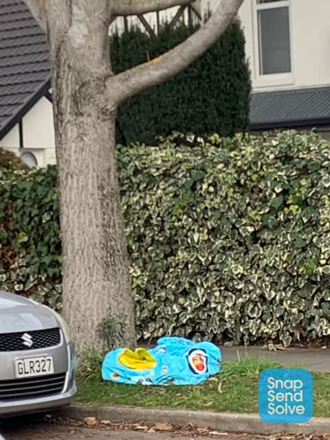
 Dumped Rubbish —
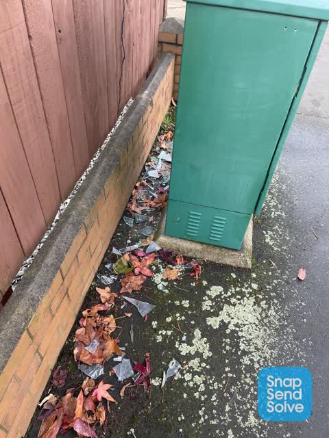
  Rubbish/Recycling —
 Glass all around box on footpath
Also reported on Worcester Street
- 298 Worcester Street — 79 reports
- 573 Worcester Street — 52 reports
- 398 Worcester Street — 48 reports
- 646 Worcester Street — 36 reports
- 475 Worcester Street — 35 reports
- 411 Worcester Street — 33 reports
- 506B Worcester Street — 28 reports
- 507 Worcester Street — 23 reports
The street’s crash record
NZTA’s record names Worcester Street in 50 crashes that hurt somebody since 2006 — 1 person killed, 11 seriously hurt.
The green nearby
- Worcester Pump Station Park — 158 m to the edge
- Doris Lusk Corner — 205 m to the edge
- Raglan Reserve — 266 m to the edge
- Beverley Park — 409 m to the edge · 3 ha
Parks within half a kilometre, measured to the boundary — the council’s open data.
On the doorstep
- Adorian Motel — 51 m away · Motels
- City Worcester Motel — 83 m away · Motels
- Crazy Discounter — 125 m away · Dairies & convenience
- Creative Salon — 132 m away · Hairdressers
Businesses within four hundred metres, measured at the pin — OpenStreetMap and the council directories.
The bus nearby
- Gloucester St near Fitzgerald Ave — 168 m away · route 5
- Gloucester St near Fitzgerald Ave — 182 m away · route 5
The closest Metro stops, within four hundred and fifty metres.
The tracks through here
- Walk and bike track through Linwood — 192 m to the line · walk · bike
- Walk and bike track through Linwood — 235 m to the line · walk · bike
- Walk and bike track through Linwood — 334 m to the line · walk · bike
- Walk and bike track through Linwood — 334 m to the line · walk · bike
- Walk and bike track through Linwood — 343 m to the line · walk · bike
Tracks whose line passes within half a kilometre, measured to the line itself — the council’s open data.
The named ground
the council’s own structure register — bridges, boardwalks and steps standing nearby — the open map’s record.
The remembered names nearby
- Plaque no. 311001 — 174 m away · 2024
- Doris Lusk Corner plaque — 227 m away · 2024
Inscribed plaques within two hundred and fifty metres — the register’s pins, not surveyed spots. The whole roll is at /plaques.
Renting nearby
new bonds in Linwood ran about $478 a week — $72 below the city median of $550 — the suburb page keeps the rent record →.
What was here — Former Linwood Town Board Offices and Setting
211 m away · 388 Worcester Street · located to ±14 m · the place’s own record →
On the register. Nothing researched here yet.
The civic layer
This ground votes in Central ward — the Papanui-Innes-Central community board. Ward lines don’t always follow suburb lines; this one is measured at the pin, not the suburb’s centre.
What stood on this ground → · On the map → · From the air — the Crown’s aerials back to 1936; search the address on RetroLens →
Questions, answered briefly
16 council reports on record since June 2022 — most often graffiti (6), graffiti on a fence, building or structure (3), dumped rubbish (3).
Linwood, Christchurch — on Worcester Street.
The heritage register names a place at or beside it — Former Linwood Town Board Offices and Setting.
Worcester Pump Station Park — 158 m to its edge.