75 Stanmore Road, Linwood
16 reports on record since November 2016 · 12 with photographs. The street’s heaviest record is 57 Stanmore Road — 49 reports on file. Indicative rating valuation and school zones, hazards, bin day and what stood here before.
What gets reported here
- Graffiti — 5
- Roading/Streets — 3
- Water Leak — 2
- Vandalism - General — 1
- Rubbish/Recycling — 1
- Rubbish and Bins - General — 1
Photographed here 12 on record


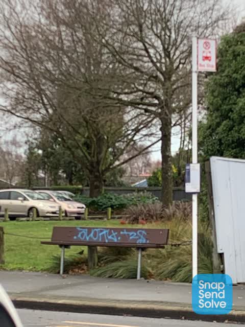
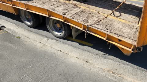
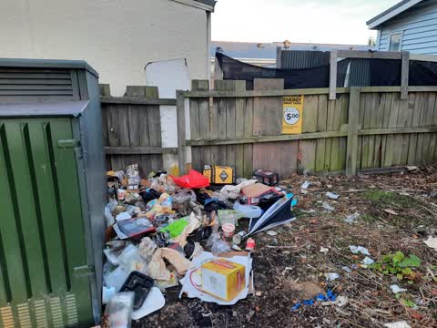
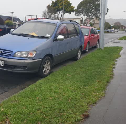
Reported here
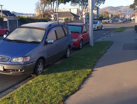
 Hazard — vehicle —
 parking over drive way
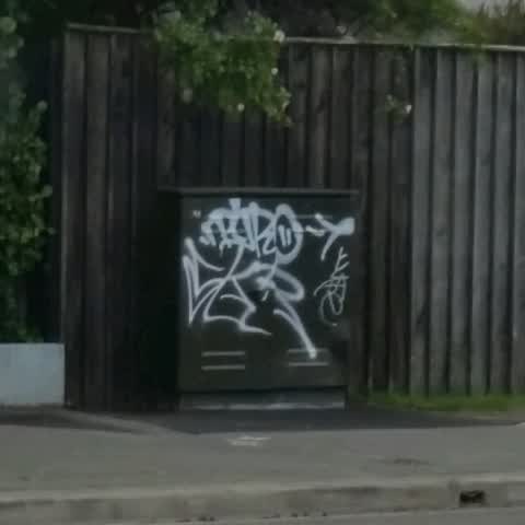
 Vandalism - General —
 White paint on green box
 General Request —
 Tree overhanging footpath and covering a green electrical box and obstructing walkers, wheelchairs and small children on these ride on bikes
- Graffiti —
- Graffiti —
 Water Leak —
 This has been happening since these trucks have moved into this yard. Sometimes i see toilet paper or some sort coming out with this leak.
 Water Leak —
 This company have alot of heavy trucks parked up there and I dont think the amount of heavy trucks they have here is legal, but it has obvio
 Graffiti —
 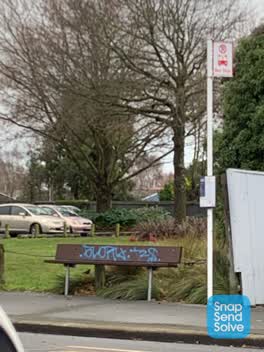 Graffiti —
 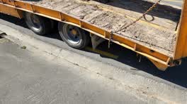 Roading/Streets —
 Parking over yellow lines and covering small street.
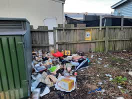 Rubbish/Recycling —
 this park is feral. This pile seems to get added to on a daily basis. I've seen city care clean it up and the next day it was back. please a
- Parking and Cars - General —
there is a greenish estima van has been sitting in the 30 minute parking for 2 days
- Rubbish and Bins - General —
my yellow bin wasn't emptied it was not declined
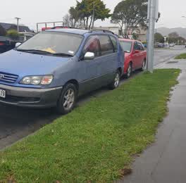 Roading/Streets —
 I Apoligise for for reporting this again but the guy next has a huge back yard.Has a huge back yard and know has made the 30 min zone his ow
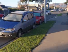 Roading/Streets —
 30 minute parking ...And who ever these people are they park over my drive it causes blind spots with cars flying around round about I've go
Graffiti —
Also reported on Stanmore Road
- 57 Stanmore Road — 49 reports
- 171 Stanmore Road — 45 reports
- 54 Stanmore Road — 37 reports
- 167 Stanmore Road — 37 reports
- 55 Stanmore Road — 24 reports
- 71A Stanmore Road — 21 reports
- 97 Stanmore Road — 20 reports
- 80 Stanmore Road — 20 reports
The street’s crash record
NZTA’s record names Stanmore Road in 117 crashes that hurt somebody since 2006 — 11 seriously hurt, nobody killed.
The green nearby
- Doris Lusk Corner — 25 m to the edge
- Raglan Reserve — 309 m to the edge
- Hereford Playground — 336 m to the edge
- Worcester Pump Station Park — 343 m to the edge
- Essex Reserve — 408 m to the edge
Parks within half a kilometre, measured to the boundary — the council’s open data.
On the doorstep
- Captain Jack's Autos — 17 m away · Car repair
- Peaches Cafe — 47 m away · Cafés
- Pinoy Asian Mart — 47 m away · Dairies & convenience
- Health by Mana — 49 m away · Alternative
Businesses within four hundred metres, measured at the pin — OpenStreetMap and the council directories.
The bus nearby
- Stanmore Rd near Worcester St — 23 m away · route 60
- Stanmore Rd near Gloucester St — 129 m away · route 60
The closest Metro stops, within four hundred and fifty metres.
The tracks through here
- Walk and bike track through Linwood — 14 m to the line · walk · bike
- Walk and bike track through Linwood — 304 m to the line · walk · bike
- Walk and bike track through Linwood — 330 m to the line · walk · bike
- Walk and bike track through Linwood — 426 m to the line · walk · bike
- Walk and bike track through Linwood — 435 m to the line · walk · bike
Tracks whose line passes within half a kilometre, measured to the line itself — the council’s open data.
The named ground
the council’s own structure register — bridges, boardwalks and steps standing nearby — the open map’s record.
The remembered names nearby
- Doris Lusk Corner plaque — 51 m away · 2024
- Plaque no. 311001 — 70 m away · 2024
Inscribed plaques within two hundred and fifty metres — the register’s pins, not surveyed spots. The whole roll is at /plaques.
Renting nearby
new bonds in Linwood ran about $478 a week — $72 below the city median of $550 — the suburb page keeps the rent record →.
What was here — Former Linwood Town Board Offices and Setting
52 m away · 388 Worcester Street · located to ±14 m · the place’s own record →
On the register. Nothing researched here yet.
The civic layer
This ground votes in Central ward — the Papanui-Innes-Central community board. Ward lines don’t always follow suburb lines; this one is measured at the pin, not the suburb’s centre.
What stood on this ground → · On the map → · From the air — the Crown’s aerials back to 1936; search the address on RetroLens →
Questions, answered briefly
16 council reports on record since November 2016 — most often graffiti (5), roading/streets (3), water leak (2).
Linwood, Christchurch — on Stanmore Road.
The heritage register names a place at or beside it — Former Linwood Town Board Offices and Setting.
Doris Lusk Corner — 25 m to its edge.