56 Godley Quay, Lyttelton
17 reports on record since March 2021 · 15 with photographs. The street’s heaviest record is 3 Godley Quay — 23 reports on file. Indicative rating valuation and school zones, hazards, bin day and what stood here before.
What gets reported here
Photographed here 15 on record


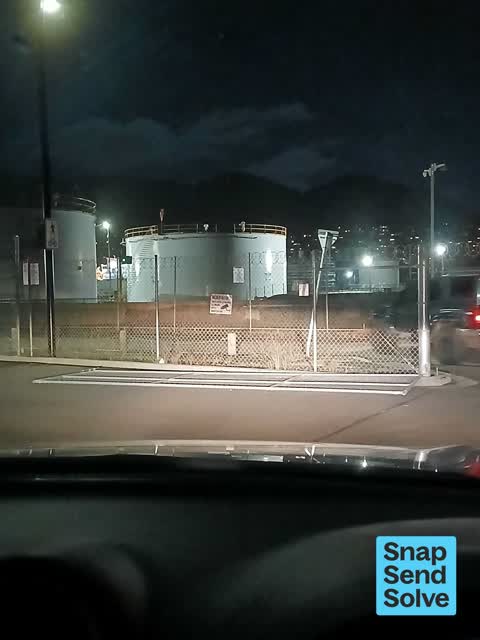

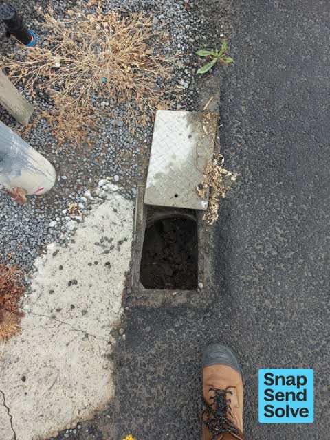
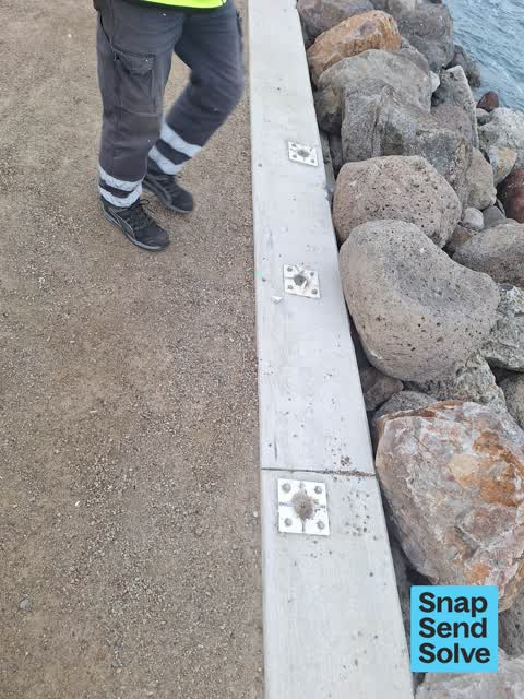
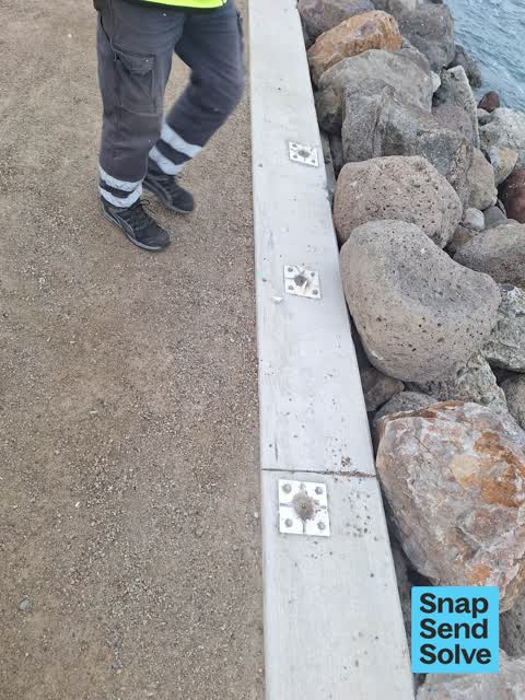
Reported here
 Poles and Signage - General —
 bolts have been removed
 Hazard — vehicle —
 Parking kerb damaged.
 Graffiti on a fence, building or structure —
  Facility - General Request —
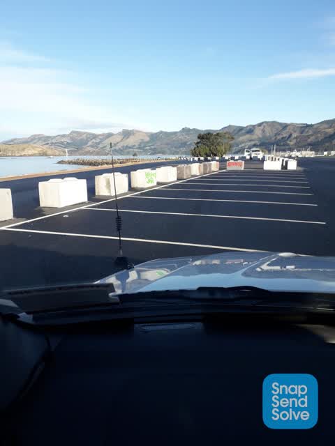
 Naval point carpark, main gate is on the ground.
 Pavement - General —
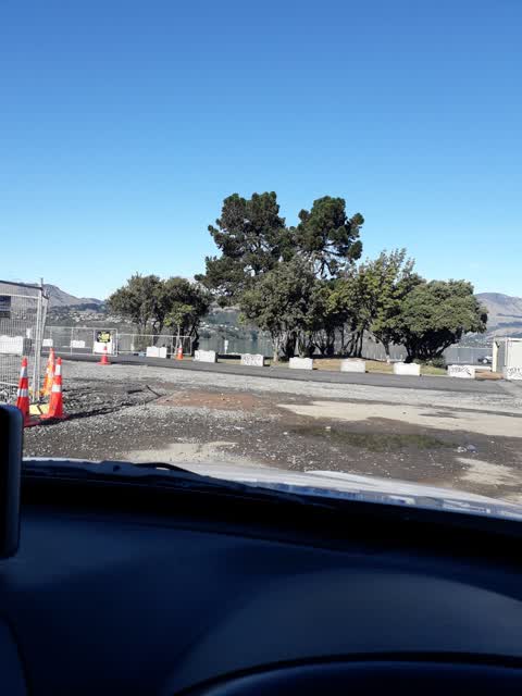
 I love what’s been done at Naval Point. Fabulous! Just noticed the weeds are going to spoil the look and maybe a broomstick to keeps stones
 Water General —
 Box clean out please, photo of meter for billing. Thanks
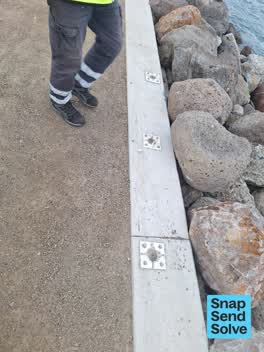 Poles and Signage - General —
 Damaged
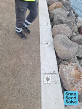 Poles and Signage - General —
 Damaged
- Graffiti —
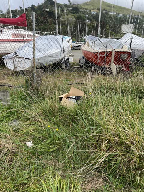
- Dumped Rubbish —
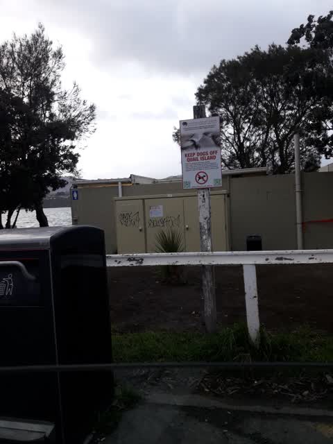
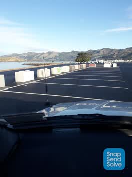 Graffiti —
 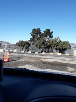 Graffiti —
 This makes 21 in total. Navel Point.
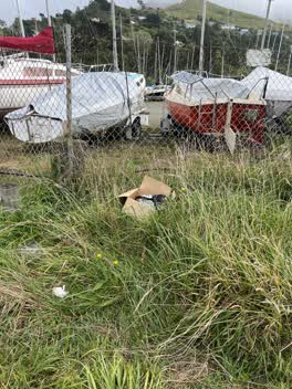 Rubbish/Recycling —
 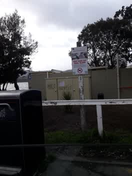 Graffiti —
 naval point lyttelton
Graffiti —
Wastewater/Stormwater —
Storm Water cover on SwFitting-4551 badly rusted has 1.5. drop underneath and in area where kids play.
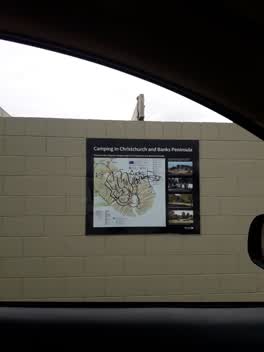 Graffiti —
Also reported on Godley Quay
- 3 Godley Quay — 23 reports
- 55 Godley Quay — 17 reports
- 54 Godley Quay — 15 reports
- 28 Godley Quay — 9 reports
- 22 Godley Quay — 9 reports
- 18 Godley Quay — 9 reports
- 8 Godley Quay — 6 reports
- 29 Godley Quay — 6 reports
The street’s crash record
NZTA’s record names Godley Quay in 9 crashes that hurt somebody since 2006 — 0 seriously hurt, nobody killed.
The green nearby
- Lyttelton Recreation Ground — 97 m to the edge · 3 ha
- Park Terrace Reserve — 347 m to the edge · 5 ha
Parks within half a kilometre, measured to the boundary — the council’s open data.
On the doorstep
- Lyttelton Recreation Ground — 156 m away · Sports centres
- Naval Point Club Lyttelton — 211 m away · Clubs
- Naval Boat Point Ramp Freedom camp — 220 m away · Campgrounds
- Lyttelton Marine Sales — 230 m away · Boat
Businesses within four hundred metres, measured at the pin — OpenStreetMap and the council directories.
The named ground
Named places within 1.5 km of this address; the council’s own structure register — bridges, boardwalks and steps standing nearby — the open map’s record.
Renting nearby
new bonds in Lyttelton ran about $600 a week — $50 above the city median of $550 — the suburb page keeps the rent record →.
The civic layer
This ground votes in Banks Peninsula ward — the Banks Peninsula community board. Ward lines don’t always follow suburb lines; this one is measured at the pin, not the suburb’s centre.
What stood on this ground → · On the map → · From the air — the Crown’s aerials back to 1936; search the address on RetroLens →
Questions, answered briefly
17 council reports on record since March 2021 — most often graffiti (6), poles and signage - general (3), water general (1).
Lyttelton, Christchurch — on Godley Quay.
Nothing on the heritage register at this exact spot — the record around this ground →
Lyttelton Recreation Ground — 97 m to its edge, 3 ha.