Park Terrace Reserve
5 ha
From the air
Where it sits
Its centre falls inside Lyttelton, suburb membership is a centroid call, not a claim the whole park lies inside the outline.
The camping bylaw names this ground, Naval Point Prohibited Area: no camping. The zone drawings sit at /rules.
More green in Lyttelton
- Whakaraupo Reserve, Regional · 88 ha
- Urumau Reserve, Regional · 26 ha
- Mt Cavendish Reserve, Regional · 26 ha
- Lyttelton Recreation Ground · 3 ha
- Oxford Street Reserve, Botanic
- Lyttelton War Memorial
- Cressy Terrace Tennis Courts
- Baden Norris Reserve
The register on this ground
Heritage-register places whose pin falls inside the park's drawn outline, what stood here, or still does.
What’s built on this ground
No playground is on the register here, the asset layers name none for this ground.
Also on the register: 6 seats (3 seats and 3 benches) and 10 picnic tables.
The register’s commission dates run 2000 to 2025.
The register’s site tag names this park, and its pins stand inside the drawn outline, two views of the same ground.
The plaques on this ground
Inscribed plaques whose pin stands inside the park's drawn outline, the remembered names the register keeps here.
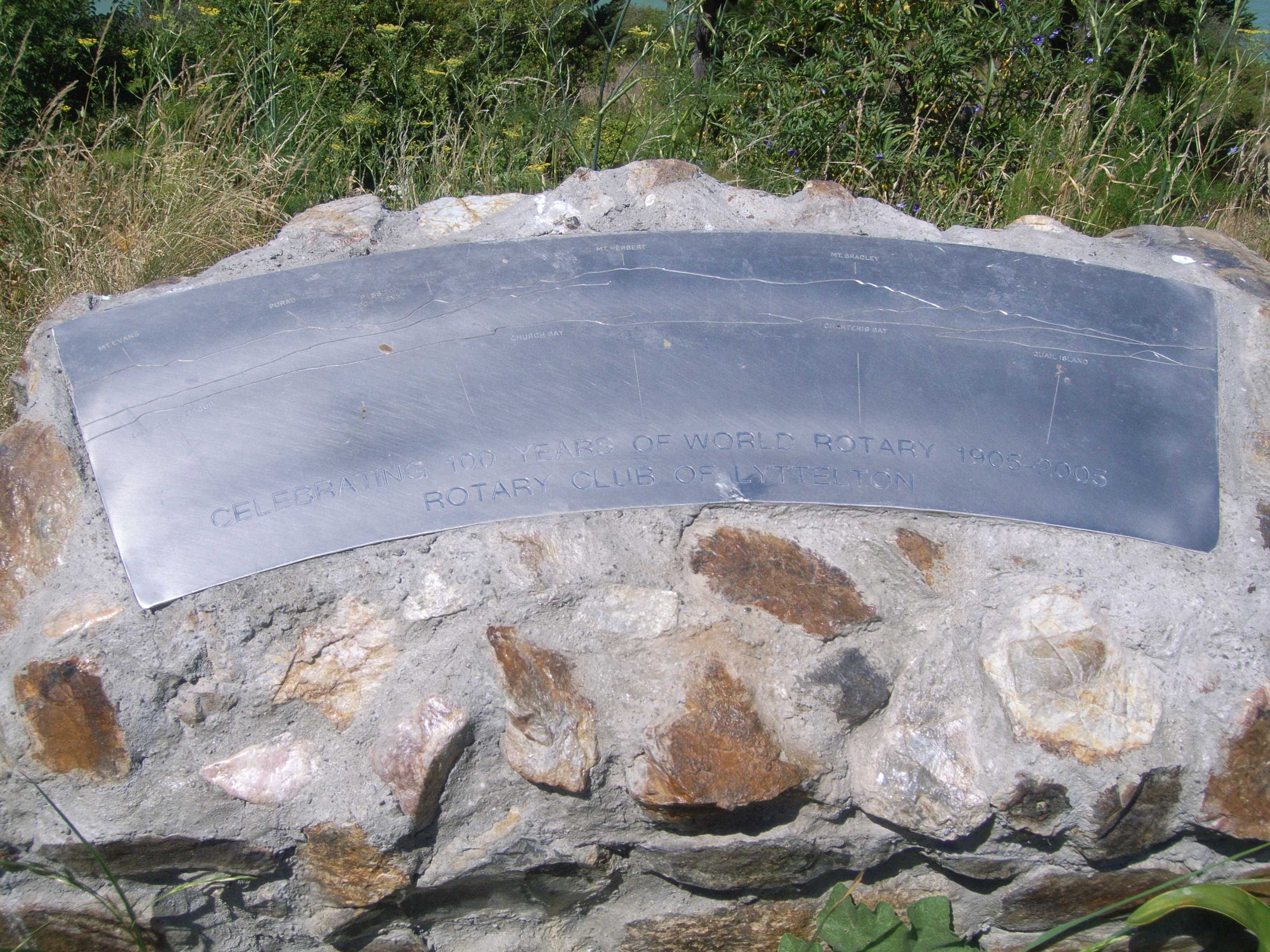
The reports on this ground
165 reports pinned inside the park's drawn outline, most often Graffiti & vandalism and Trees & parks, 148 with a photograph. A pin is where a reporter stood, not a claim about the whole park.
 Graffiti on a playground or in a park, 9–33 Park Tce, Canterbury, Lyttelton 8082, New Zealand · 29 July 2026
 Graffiti on a fence, building or structure, 16 Marina Access, Canterbury, Lyttelton 8082, New Zealand · 29 July 2026
 Graffiti on a fence, building or structure, 59B Cressy Terrace, Corsair Bay, Lyttelton 8082, New Zealand · 11 April 2026
 Graffiti on a fence, building or structure, 32 Park Terrace, Lyttelton 8082, New Zealand · 28 November 2025
 Graffiti on a sign, mural or public art, Canterbury, Lyttelton 8082, New Zealand · 27 November 2025
 General Request, 16 Marina Access, Canterbury, Lyttelton 8082, New Zealand · 22 November 2025
 Graffiti on a fence, building or structure, 16 Marina Access, Lyttelton 8082, New Zealand · 17 November 2025
 Graffiti on a road, footpath or bridge, 32 Park Terrace, Lyttelton 8082, New Zealand · 8 November 2025
 Fallen Tree, 9–33 Park Tce, Canterbury, Lyttelton 8082, New Zealand · 31 October 2025
 Trees - General, 32 Park Terrace, Lyttelton 8082, New Zealand · 29 October 2025
 Overgrown Vegetation, 9–33 Park Tce, Canterbury, Lyttelton 8082, New Zealand · 28 October 2025
 Overgrown Vegetation, 9–33 Park Tce, Canterbury, Lyttelton 8082, New Zealand · 28 October 2025
Environment Canterbury / Canterbury Maps, Parks layer · refreshed 10 October 2026.
What stood on this ground before → · On the map →
Questions, answered briefly
5 hectares by the layer’s own polygon.
Its centre falls inside Lyttelton, a centroid call, not a claim the whole park lies inside the outline.
A park or reserve.
Environment Canterbury’s open Parks layer, kind, size and suburb read straight from it.