57 Clearbrook Street, Mairehau
11 reports on record since February 2020 · 11 with photographs. The most-reported address on Clearbrook Street. Indicative rating valuation and school zones, hazards, bin day and what stood here before.
What gets reported here
- Water Leak — 4
- Water General — 1
- Roading/Streets — 1
- Pavement - General — 1
- Pavement - Damaged — 1
- Graffiti — 1
Photographed here 11 on record


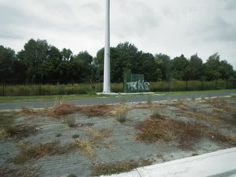
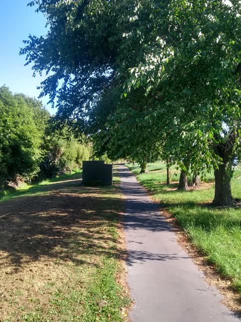
Reported here
 Water Leak —
 Years of water problem, the path was fixed. But the water leak was never touched & is now back to exactly how it was….
 Water Leak —
 After 2 years of cones with grass growing up through them marking this leak, some work has finally been done. This is how it has been left.
 Pavement - General —
 Water leak - has been like this for over a year. What is the hold up getting it fixed?
 Dumped Rubbish —
 Wires dumped under a tree on walkway along Innes rd beside some road cones Near QE11 roundabout
 Water Leak —
 Still not resolved. Becoming polluted and a health hazard to humans and other animals.
 Water General —
 I see this is a work in progress (looks like a clay tile drain has failed). However, it has been like this for many weeks now with no recent
 Pavement - Damaged —
 Damaged pavement, water leaking onto shared path. Location is on Innes Road between QE2 Dr and Briggs Rd
 Water Leak —
  Flooding —
 Section of QE2/ innes Rd cycle lane floods. And still flooded days / week after rain. Just a mess when you have to bike through it.
 Graffiti —
 on big intersection of QE2 and Innes Rd
Roading/Streets —
shared path on South side of Innes road overgrown, cyclists will hit their head on branches, particularly in the dark, tree needs trimming
Also reported on Clearbrook Street
- 61 Clearbrook Street — 3 reports
- 59 Clearbrook Street — 3 reports
- 53 Clearbrook Street — 1 report
The green nearby
- Havana Gardens Reserve — 6 m to the edge · 1 ha
- Queenswood Landscape Reserve — 180 m to the edge
- Sanctuary Gardens Reserve — 204 m to the edge · 1 ha
Parks within half a kilometre, measured to the boundary — the council’s open data.
The tracks through here
- Walk and bike track through Mairehau — 32 m to the line · walk · bike
- Walk and bike track through Mairehau — 114 m to the line · walk · bike
- Walk and bike track through Mairehau — 286 m to the line · walk · bike
- Walk and bike track through Mairehau — 356 m to the line · walk · bike
Tracks whose line passes within half a kilometre, measured to the line itself — the council’s open data.
The named ground
the council’s own structure register — bridges, boardwalks and steps standing nearby — the open map’s record.
Renting nearby
new bonds in Mairehau ran about $409 a week — $141 below the city median of $550 — the suburb page keeps the rent record →.
The civic layer
This ground votes in Innes ward — the Papanui-Innes-Central community board. Ward lines don’t always follow suburb lines; this one is measured at the pin, not the suburb’s centre.
What stood on this ground → · On the map → · From the air — the Crown’s aerials back to 1936; search the address on RetroLens →
Questions, answered briefly
11 council reports on record since February 2020 — most often water leak (4), water general (1), roading/streets (1).
Mairehau, Christchurch — on Clearbrook Street.
Nothing on the heritage register at this exact spot — the record around this ground →
Havana Gardens Reserve — 6 m to its edge, 1 ha.