Rose Historic Chapel Reserve
Botanic
From the air
Where it sits
Its centre falls inside Christchurch Central City, suburb membership is a centroid call, not a claim the whole park lies inside the outline.
The camping bylaw names this ground, Christchurch Urban Restricted Area: two nights in certified self-contained vehicles only. The zone drawings sit at /rules.
More green in Christchurch Central City
- Hagley Park North, Sports ground · 91 ha
- Hagley Park South, Sports ground · 71 ha
- Botanic Gardens, Botanic · 21 ha
- Little Hagley Park, Botanic · 7 ha
- Avon Riverbank Central City · 6 ha
- Barbadoes Cemetery, Botanic · 3 ha
- Cranmer Square, Botanic · 2 ha
- Latimer Square, Botanic · 2 ha
The register on this ground
Heritage-register places whose pin falls inside the park's drawn outline, what stood here, or still does.
- Former St Mary's Convent Chapel and Setting, 67/868 Colombo Street
What’s built on this ground
No playground is on the register here, the asset layers name none for this ground.
Also on the register: 5 seats (5 seats) and 1 water feature.
The register’s commission dates run 2009 to 2012.
The register’s site tag names this park, and its pins stand inside the drawn outline, two views of the same ground.
The plaques on this ground
Inscribed plaques whose pin stands inside the park's drawn outline, the remembered names the register keeps here.
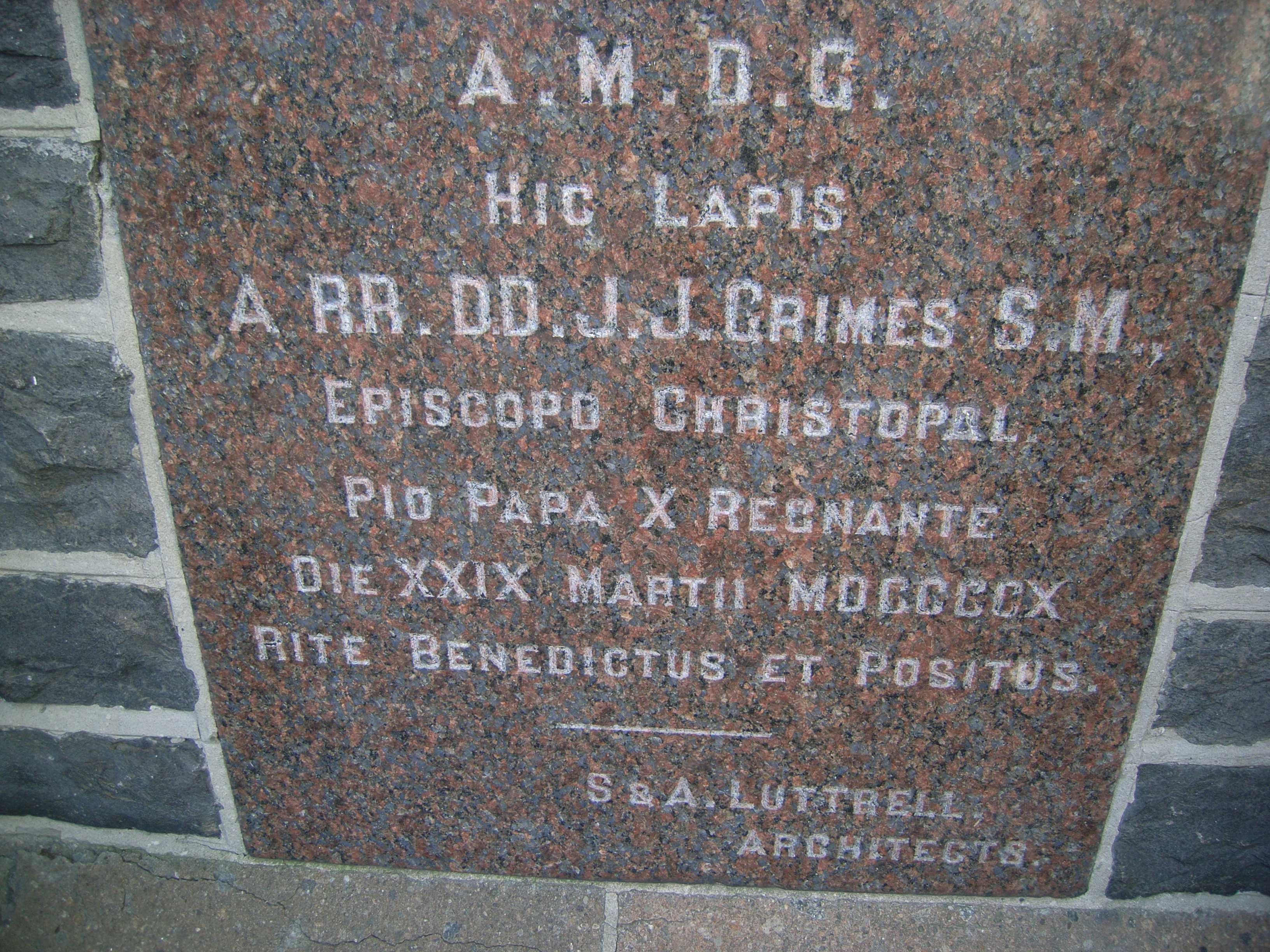
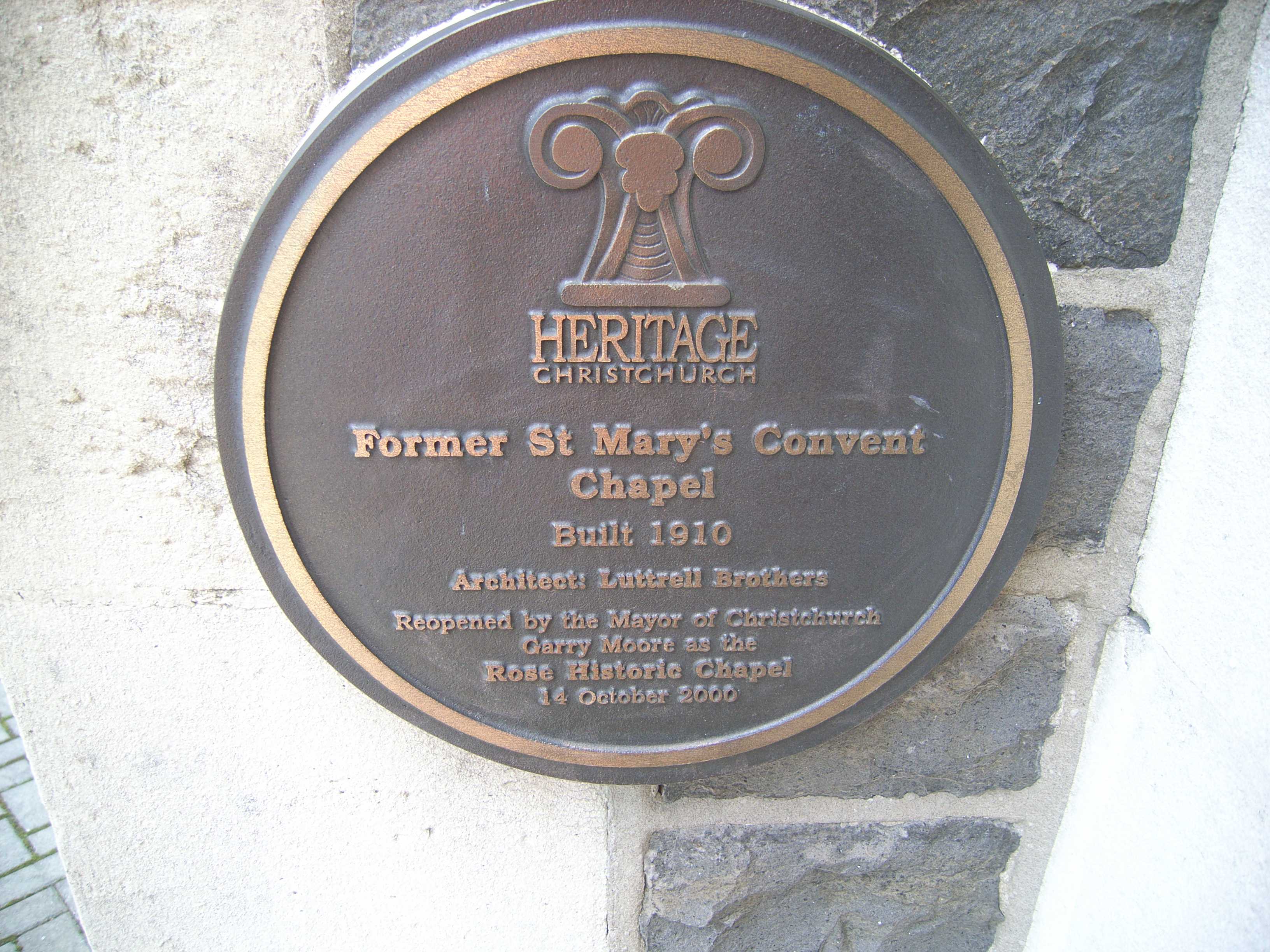
The reports on this ground
1 report pinned inside the park's drawn outline, most often Roads & footpaths, 1 with a photograph. A pin is where a reporter stood, not a claim about the whole park.
Roading/Streets, 866, Colombo Street, Christchurch, 8013, Canterbury · 2 June 2017
Environment Canterbury / Canterbury Maps, Parks layer · refreshed 10 October 2026.
What stood on this ground before → · On the map →
Questions, answered briefly
1,461 m² by the layer’s own polygon.
Its centre falls inside Christchurch Central City, a centroid call, not a claim the whole park lies inside the outline.
Botanic.
Environment Canterbury’s open Parks layer, kind, size and suburb read straight from it.