112 Randolph Street, Phillipstown
50 reports on record since May 2016 · 41 with photographs. The most-reported address on Randolph Street. Indicative rating valuation and school zones, hazards, bin day and what stood here before.
What gets reported here
- Graffiti — 27
- Parks — 14
- Dumped Rubbish — 3
- Rubbish/Recycling — 1
- Roading/Streets — 1
- Pavement - General — 1
Photographed here 41 on record


Reported here
 Dumped Rubbish —
 trash in waterways
 Dumped Rubbish —
 dumped rubbish
 Dumped Rubbish —
 Trolleys, road cones, graffiti.
 Park - General Request —
 The wire needs to be tied back
 Graffiti on a fence, building or structure —
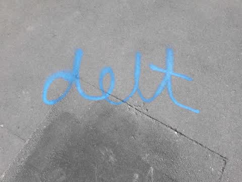
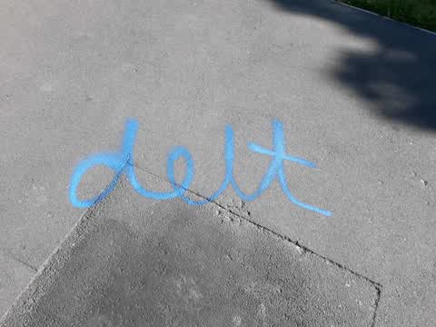
 Big G. Nicer than the usual scribbles. This is the eleventy billionth report. Really needs a long term solution. Just putting it out there,
- Graffiti —
- Graffiti —
- Graffiti —
- Graffiti —
- Graffiti —
- Pavement - General —
- Graffiti —
- Hazard — vehicle —
- Graffiti —
Graffiti —
In park end of Randolph street
Graffiti —
End of Randolph street
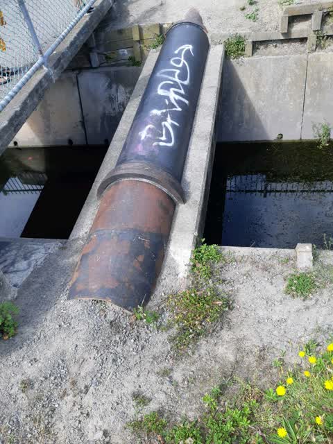
Graffiti —
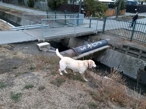
On water pipes, end of Randolph st
Parks —
On cycleway in Linwood park
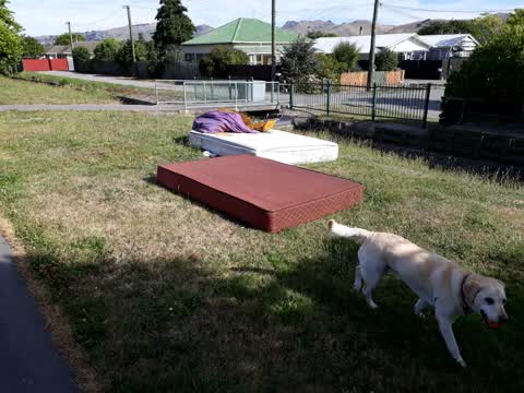
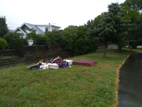
Rubbish/Recycling —
Furniture dumped, Linwood park, near Randolph
Parks —
Rubbish dumped in Linwood Park
Graffiti —
On pipes end of randolf st
Parks —
Yet again full rubbish bin by toilet block
Parks —
Trolly matlock st end
Parks —
Rubbish and trolley in creek Randolf Street
Parks —
How many times I have put a H & S service to undertaken on the wire on the bridge
Parks —
There is 1 T. V. and approx 16 tyres in the creek as well
Parks —
What has happened to the lacing wire for bridge 2nd msg
Graffiti —
Fence and pipe, top of Randolph St
Parks —
Lamp burned out, Linwood park near end of Randolph st
Parks —
In creek
Parks —
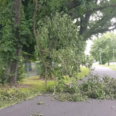
Linwood park, South side, wind damage, two places
Parks —
Still not fixed why
Parks —
Branch needs removal
Graffiti —
First pole on off random street
Roading/Streets —
Board lying against street in park Randolf street end
Parks —
Near Randolf street footbridge
Graffiti —
Just inside gate off Randolph st
Graffiti —
One light pole just inside gate from Randolph street
Graffiti —
End of Randolph street
Graffiti —
End of Randolph street
Graffiti —
Pipe Randolph street end
Graffiti —
On light pole
Graffiti —
On block end of Randolph street
Graffiti —
On pole end of Randolph street in park
Graffiti —
End of Randolph street
Graffiti —
On fence next to pipes
Graffiti —
Pipes end Randolf Street
Graffiti —
Light poles, Linwood Park, south and west sides, several.
Graffiti —
Linwood Park, light poles on Southwest side. I reported light poles on incident 92100294, most have been cleaned but they missed these. Chee
Graffiti —
Concrete block and water pipe, end of Randolph st
Also reported on Randolph Street
- 115 Randolph Street — 29 reports
- 114A Randolph Street — 3 reports
- 67 Randolph Street — 2 reports
- 110 Randolph Street — 2 reports
The green nearby
- Linwood Park — you are in it · Sports ground · 9 ha
- Linwood Nursery — 271 m to the edge · 1 ha
Parks within half a kilometre, measured to the boundary — the council’s open data.
The civic shelf nearby
- Linwood Service Centre — 419 m away · Service centre
Libraries, halls and the rest within half a kilometre — the council’s open data.
On the doorstep
- Work and Income, Linwood Branch — 237 m away · Government
- Aldwins Road Vet Clinic — 248 m away · Vets
- Supercheap Auto — 295 m away · Car parts
- Linwood Ave Rotary Market — 297 m away · Markets
Businesses within four hundred metres, measured at the pin — OpenStreetMap and the council directories.
The bus nearby
- Aldwins Rd near Harrow St — 146 m away · route 140, route 80, the Orbiter
- Aldwins Rd near Harrow St — 224 m away · route 80, route 140, the Orbiter (anticlockwise)
The closest Metro stops, within four hundred and fifty metres.
The tracks through here
- Walk and bike track through Phillipstown — 2 m to the line · walk · bike
- Walk and bike track through Phillipstown — 25 m to the line · walk · bike
- Walk and bike track through Phillipstown — 95 m to the line · walk · bike
- Walk and bike track through Phillipstown — 148 m to the line · walk · bike
- Walk and bike track through Phillipstown — 222 m to the line · walk · bike
Tracks whose line passes within half a kilometre, measured to the line itself — the council’s open data.
The named ground
the council’s own structure register — bridges, boardwalks and steps standing nearby — the open map’s record.
Renting nearby
new bonds in Phillipstown ran about $490 a week — $60 below the city median of $550 — the suburb page keeps the rent record →.
The civic layer
This ground votes in Linwood ward — the Coastal-Burwood-Linwood community board. Ward lines don’t always follow suburb lines; this one is measured at the pin, not the suburb’s centre.
What stood on this ground → · On the map → · From the air — the Crown’s aerials back to 1936; search the address on RetroLens →
Questions, answered briefly
50 council reports on record since May 2016 — most often graffiti (27), parks (14), dumped rubbish (3).
Phillipstown, Christchurch — on Randolph Street.
Nothing on the heritage register at this exact spot — the record around this ground →
Linwood Park — the address is inside it, 9 ha.