8-10 Bonar Place, Phillipstown
16 reports on record since July 2015 · 16 with photographs. The street’s heaviest record is 8 Bonar Place — 236 reports on file. Indicative rating valuation and school zones, hazards, bin day and what stood here before.
What gets reported here
Photographed here 16 on record
Reported here
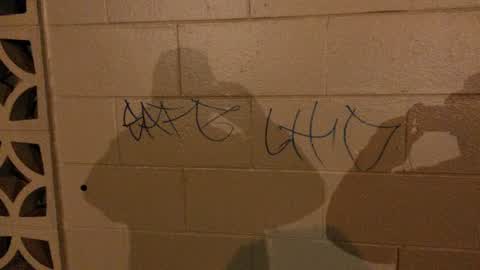
Graffiti —
Toilet block Linwood Park
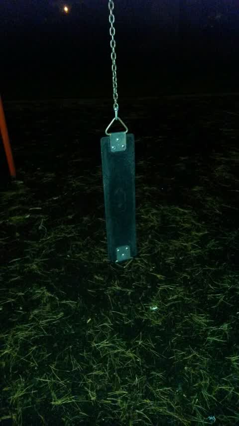
Parks —
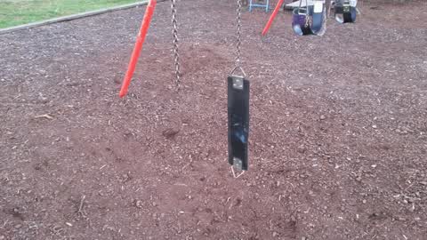
Damaged swing, Linwood Park
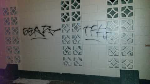
Graffiti —
Toilet block Linwood Park
Graffiti —
Graffiti —
Graffiti —
Graffiti —
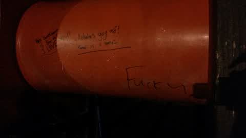
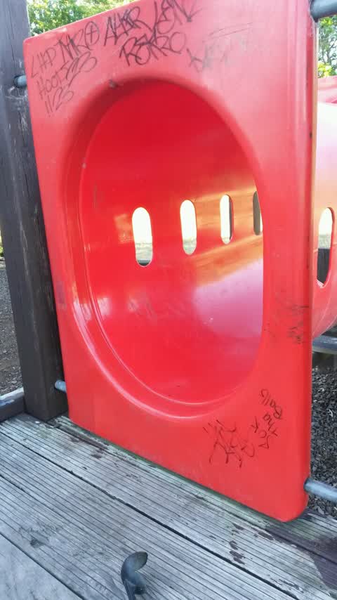
Play equipment in Linwood Park, VULGAR, please expedite.
Parks —
Swing Linwood Park. Looks like D shackle has been removed.
Graffiti —
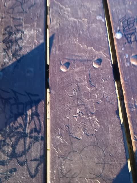
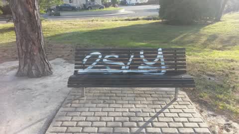
Park bench, south side of Linwood Park. Also, skate park
Graffiti —
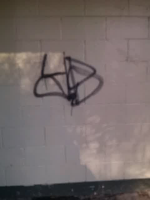
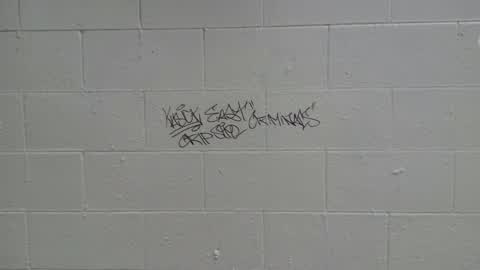
South wall of toilet block,Linwood Park. Gang related (crips) please expedite.
Graffiti —
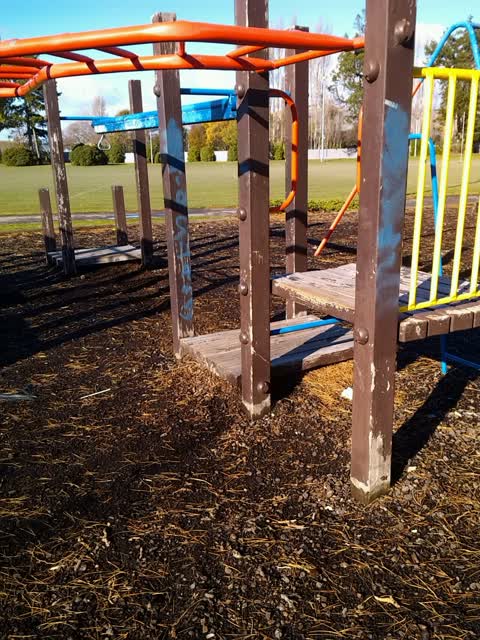
Large play area in middle of Linwood Park
Graffiti —
Linwood Park toilet block
Graffiti —
Toilet block Linwood Park
Graffiti —
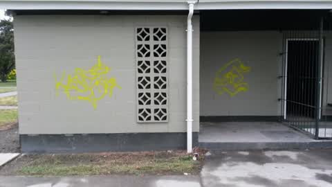
Toilet block Linwood Park. Three sides. Black and punk on council tan.
Graffiti —
Graffiti —
Also reported on Bonar Place
- 8 Bonar Place — 236 reports
- 7 Bonar Place — 70 reports
- 8A Bonar Place — 16 reports
- 9 Bonar Place — 2 reports
- 12 Bonar Place — 2 reports
- 8–20 Bonar Place — 1 report
- 7-9 Bonar Place — 1 report
The green nearby
- Linwood Park — you are in it · Sports ground · 9 ha
- Linwood Nursery — 98 m to the edge · 1 ha
- Linwood Esplanade Reserve — 427 m to the edge
Parks within half a kilometre, measured to the boundary — the council’s open data.
The civic shelf nearby
- Linwood Service Centre — 357 m away · Service centre
Libraries, halls and the rest within half a kilometre — the council’s open data.
On the doorstep
- Linwood Ave Rotary Market — 208 m away · Markets
- Linwood Pool: Te Pou Toetoe — 222 m away · Sports centres
- On The Go — 297 m away · Car repair
- Work and Income, Linwood Branch — 302 m away · Government
Businesses within four hundred metres, measured at the pin — OpenStreetMap and the council directories.
The bus nearby
- Eastgate Mall (Linwood Ave) — 215 m away · route 140
- Aldwins Rd near Harrow St — 337 m away · route 140, route 80, the Orbiter
The closest Metro stops, within four hundred and fifty metres.
The tracks through here
- Walk and bike track through Phillipstown — 45 m to the line · walk · bike
- Walk and bike track through Phillipstown — 46 m to the line · walk · bike
- Walk and bike track through Phillipstown — 56 m to the line · walk · bike
- Walk and bike track through Phillipstown — 205 m to the line · walk · bike
- Walk and bike track through Phillipstown — 229 m to the line · walk · bike
Tracks whose line passes within half a kilometre, measured to the line itself — the council’s open data.
The named ground
the council’s own structure register — bridges, boardwalks and steps standing nearby — the open map’s record.
The remembered names nearby
- This Tree Was Planted to Commemorate the Coronation — 115 m away ·
This tree was planted to commemorate the coronation of H.M. Elizabeth II 1953
· 2009 - Christchurch City Council / Parks and Recreation Depot — 246 m away ·
CHRISTCHURCH CITY COUNCIL / PARKS AND RECREATION DEPOT / OFFICIALLY OPENED BY / THE MAYOR
· 1899
Inscribed plaques within two hundred and fifty metres — the register’s pins, not surveyed spots. The whole roll is at /plaques.
Renting nearby
new bonds in Phillipstown ran about $490 a week — $60 below the city median of $550 — the suburb page keeps the rent record →.
The civic layer
This ground votes in Linwood ward — the Coastal-Burwood-Linwood community board. Ward lines don’t always follow suburb lines; this one is measured at the pin, not the suburb’s centre.
What stood on this ground → · On the map → · From the air — the Crown’s aerials back to 1936; search the address on RetroLens →
Questions, answered briefly
16 council reports on record since July 2015 — most often graffiti (14), parks (2).
Phillipstown, Christchurch — on Bonar Place.
Nothing on the heritage register at this exact spot — the record around this ground →
Linwood Park — the address is inside it, 9 ha.