127 Cranford Street, Saint Albans
18 reports on record since October 2015 · 14 with photographs. The street’s heaviest record is 131 Cranford Street — 19 reports on file. Indicative rating valuation and school zones, hazards, bin day and what stood here before.
What gets reported here
- Parks — 4
- Rubbish/Recycling — 2
- Park - General Request — 2
- Overgrown Vegetation — 2
- Graffiti — 2
- Trees - General — 1
Photographed here 14 on record


Reported here
 Park - General Request —
 dumped newspapers and advertising material along 50m of the waterway. lots
 Trees - General —
 dead tree needs removed
 Hazard — vehicle —
 Cars are driving through the pedestrian access and turning on the grass area outside the football club, making a mess of the grass and garde
 Graffiti somewhere else —
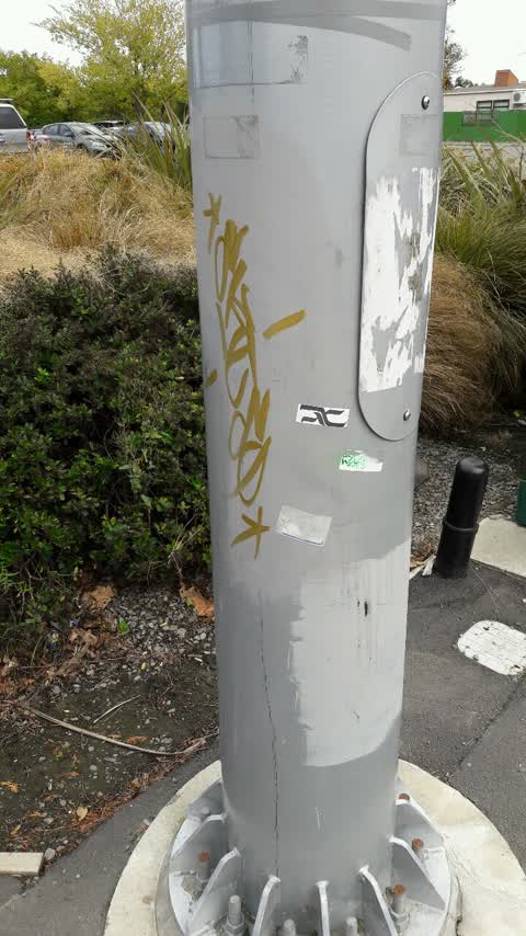
 Come into English park off cranford st you will see a bunch of cabbage trees there is a walk way there follow walkway in you will see a gre
 Overgrown Vegetation —
 A large crop of old man's beard that is in full flower
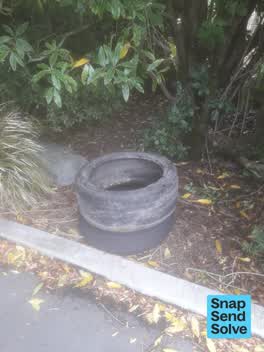 Dumped Rubbish —
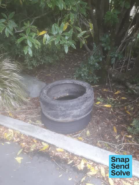
 Two car tyres, no rims, dumped in main carpark garden.
- Overgrown Vegetation —
- Facility - General Request —
- Park - General Request —
- Litter —
Parks —
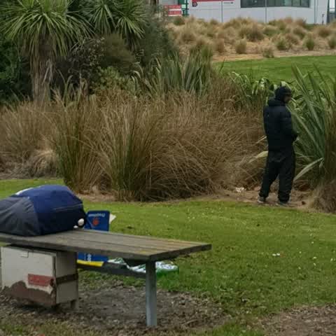
This dude, and more often than not a mate as well, spends most Tuesday afternoons in this spot drinking large amounts, and as you can see ur
Rubbish/Recycling —
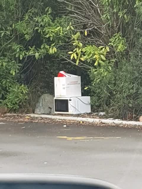
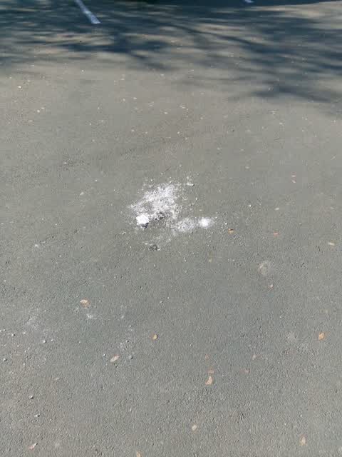
Rubbish dumped in English Park carpark, it's happening a lot lately but usually alcohol bottles, first time it's been appliances
Parks —
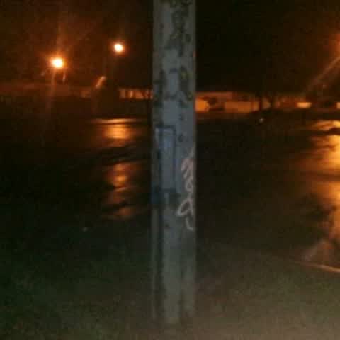
Main carpark at English Park has a light which is turned off/broken, making the area pitch black and a health and safety hazard. Someone co
Parks —
Broken glass in English Park carpark near St Alban's school. Significant health and safety risk.
Parks —
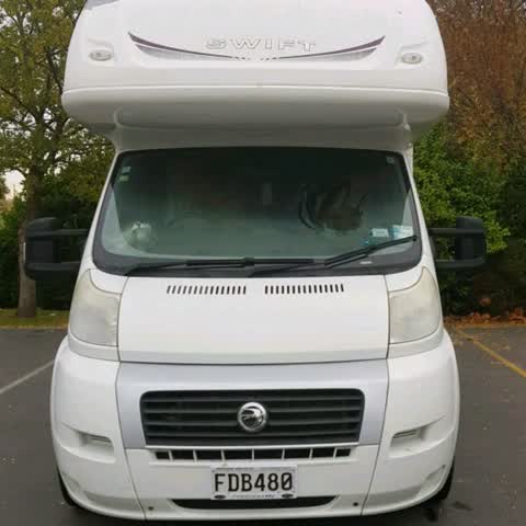
Freedom Camping. Concerned to find this campervan which had occupants and had clearly been parked in the English Park carpark all night. Not
Graffiti —
Graffiti —
Rubbish/Recycling —
Overflowing rubbish bin
Also reported on Cranford Street
- 131 Cranford Street — 19 reports
- 4 Cranford Street — 18 reports
- 186 Cranford Street — 14 reports
- 117 Cranford Street — 12 reports
- 321 Cranford Street — 10 reports
- 30 Cranford Street — 9 reports
- 293A Cranford Street — 9 reports
- 242 Cranford Street — 9 reports
The street’s crash record
NZTA’s record names Cranford Street in 113 crashes that hurt somebody since 2006 — 1 person killed, 15 seriously hurt.
The green nearby
- English Park — you are in it · Sports ground · 3 ha
- Berwick Reserve — 272 m to the edge
- St Albans Tennis Club — 370 m to the edge · Sports ground
- St Albans Park — 475 m to the edge · Sports ground · 6 ha
Parks within half a kilometre, measured to the boundary — the council’s open data.
On the doorstep
- Mainland Football — 38 m away · Clubs
- Liquor King Cranford — 152 m away · Bottle stores
- Liquorland Cranford — 157 m away · Bottle stores
- Souvlaki-licious — 199 m away · Fast food
Businesses within four hundred metres, measured at the pin — OpenStreetMap and the council directories.
The bus nearby
- Cranford St near Berwick St — 69 m away · route 27
- Cranford St near Berwick St — 104 m away · route 27
The closest Metro stops, within four hundred and fifty metres.
The tracks through here
- Walk and bike track through Saint Albans — 42 m to the line · walk · bike
- Walk and bike track through Saint Albans — 70 m to the line · walk · bike
- Walk and bike track through Saint Albans — 178 m to the line · walk · bike
- Walk and bike track through Saint Albans — 300 m to the line · walk · bike
Tracks whose line passes within half a kilometre, measured to the line itself — the council’s open data.
The named ground
Named water within 500 m of this address, measured to the line or the edge; the council’s own structure register — bridges, boardwalks and steps standing nearby — the open map’s record.
The remembered names nearby
- English Park — 29 m away ·
English Park/ Isaac Philpott's house origionally on this site of the present English Park.
· 2026 - New Zealand Football / Southern Regional Facilities — 89 m away ·
NEW ZEALAND FOOTBALL / SOUTHERN REGIONAL FACILITIES / MAINLAND FOOTBALL TURF PITCH / (offi
Inscribed plaques within two hundred and fifty metres — the register’s pins, not surveyed spots. The whole roll is at /plaques.
Renting nearby
new bonds in Saint Albans ran about $514 a week — $36 below the city median of $550 — the suburb page keeps the rent record →.
The civic layer
This ground votes in Innes ward — the Papanui-Innes-Central community board. Ward lines don’t always follow suburb lines; this one is measured at the pin, not the suburb’s centre.
What stood on this ground → · On the map → · From the air — the Crown’s aerials back to 1936; search the address on RetroLens →
Questions, answered briefly
18 council reports on record since October 2015 — most often parks (4), rubbish/recycling (2), park - general request (2).
Saint Albans, Christchurch — on Cranford Street.
Nothing on the heritage register at this exact spot — the record around this ground →
English Park — the address is inside it, 3 ha.