186 Cranford Street, Saint Albans
14 reports on record since November 2020 · 6 with photographs. The street’s heaviest record is 131 Cranford Street — 19 reports on file. Indicative rating valuation and school zones, hazards, bin day and what stood here before.
What gets reported here
- Rubbish and Bins - General — 3
- Overgrown Vegetation — 3
- Graffiti — 2
- Fallen Tree — 2
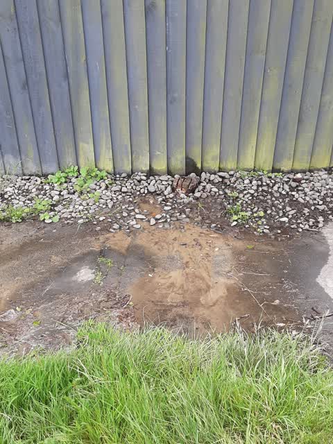
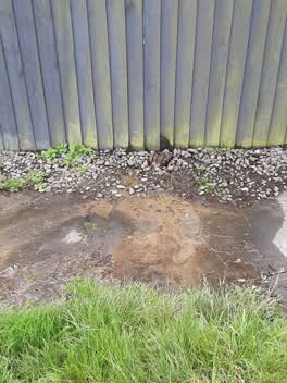
- Water Leak — 1
- Trees - General — 1
Photographed here 6 on record


Reported here
 Rubbish and Bins - General —
 These bins been here almost 2 weeks and there’s no house numbers are there on them. Could you please arrange for them to be removed?
 Trees - General —
 Hi, as can be seen from the photo there are some branches from a large tree which are hanging over my house. Branches from the same tree hav
 Fallen Tree —
 Several large branches have fallen down due to the strong winds and Iare partially blocking the footpath. Could you please arrange for them
 Fallen Tree —
 There is a fallen tree branch on deans and Cranford Street. It is too big for my green bunny. Can you please remove it?
 Graffiti —
 Blacked out Stop sign
- Graffiti —
- Overgrown Vegetation —
- Hazard — vehicle —
- Overgrown Vegetation —
- Rubbish and Bins - General —
- Overgrown Vegetation —
- Rubbish and Bins - General —
- Pit and Equipment - General —
 Water Leak —
Also reported on Cranford Street
- 131 Cranford Street — 19 reports
- 4 Cranford Street — 18 reports
- 127 Cranford Street — 18 reports
- 117 Cranford Street — 12 reports
- 321 Cranford Street — 10 reports
- 30 Cranford Street — 9 reports
- 293A Cranford Street — 9 reports
- 242 Cranford Street — 9 reports
The street’s crash record
NZTA’s record names Cranford Street in 113 crashes that hurt somebody since 2006 — 1 person killed, 15 seriously hurt.
The green nearby
- Malvern Park — 233 m to the edge · Sports ground · 3 ha
- English Park — 334 m to the edge · Sports ground · 3 ha
- Knowles Plantation — 436 m to the edge
Parks within half a kilometre, measured to the boundary — the council’s open data.
On the doorstep
- Cranford Street Medical Practice — 50 m away · Doctors & clinics
- Indian Flame — 145 m away · Restaurants
- DAON Korean Restaurant — 152 m away · Restaurants
- Cafe Metro — 154 m away · Cafés
Businesses within four hundred metres, measured at the pin — OpenStreetMap and the council directories.
The bus nearby
- Cranford St near Westminster St — 126 m away · route 27
- Cranford St near Malvern St — 135 m away · route 27
The closest Metro stops, within four hundred and fifty metres.
The tracks through here
- Walk and bike track through Saint Albans — 16 m to the line · walk · bike
- Walk and bike track through Saint Albans — 181 m to the line · walk · bike
- Walk and bike track through Saint Albans — 335 m to the line · walk · bike
- Walk and bike track through Saint Albans — 382 m to the line · walk · bike
- Walk and bike track through Saint Albans — 446 m to the line · walk · bike
Tracks whose line passes within half a kilometre, measured to the line itself — the council’s open data.
The named ground
Named water within 500 m of this address, measured to the line or the edge — the open map’s record.
Renting nearby
new bonds in Saint Albans ran about $514 a week — $36 below the city median of $550 — the suburb page keeps the rent record →.
The civic layer
This ground votes in Innes ward — the Papanui-Innes-Central community board. Ward lines don’t always follow suburb lines; this one is measured at the pin, not the suburb’s centre.
What stood on this ground → · On the map → · From the air — the Crown’s aerials back to 1936; search the address on RetroLens →
Questions, answered briefly
14 council reports on record since November 2020 — most often rubbish and bins - general (3), overgrown vegetation (3), graffiti (2).
Saint Albans, Christchurch — on Cranford Street.
Nothing on the heritage register at this exact spot — the record around this ground →
Malvern Park — 233 m to its edge, 3 ha.