4 Cranford Street, Saint Albans
18 reports on record since June 2020 · 16 with photographs. The street’s heaviest record is 131 Cranford Street — 19 reports on file. Indicative rating valuation and school zones, hazards, bin day and what stood here before.
What gets reported here
Photographed here 16 on record




Reported here
 Graffiti on a traffic light pole or cabinet, or wa —
 Graffiti
 Rubbish and Bins - General —
 Broken red bin
 Pavement - Damaged —
 This table blocks the foot path for wheelchairs, prams, etc. It's needs removing
 Accessibility —
 Traffic control signs and road cones left behind
 Graffiti on a traffic light pole or cabinet, or wa —
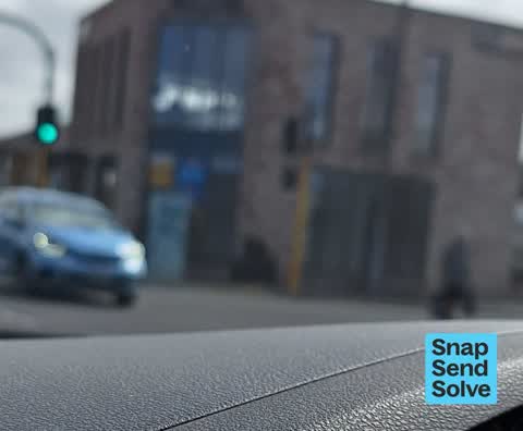
 Bow in awe of my mad focus skills! It's the fuzzy blue thing in the middle.
 Graffiti on a cabinet, pole or railway asset —
 I think almost every utility box that looks like this has been graffitied it feels like.
 Graffiti on a sign, mural or public art —
  Graffiti somewhere else —
  Graffiti somewhere else —
  Graffiti on a sign, mural or public art —
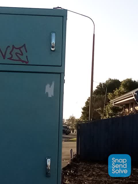
 Awful graffiti on a Blue power box.
- Street Cleaning —
Large amount of gravel and river shingle on road. Significant hazard for pedestrians motorbikes and cars
- Noise - Construction —
 Graffiti —
 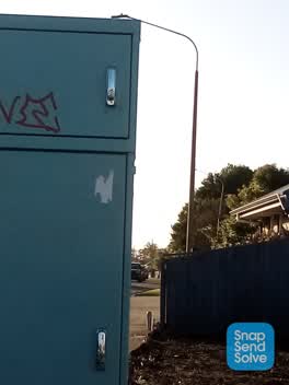 Graffiti —
 Graffiti on cabinet on corner of Edgeware Rd n Cranford street
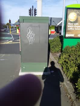 Graffiti —
 corner of cranford st and edgeware rd
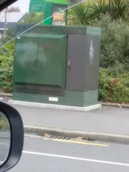 Graffiti —
 green box outside BP Edgewater on the corner
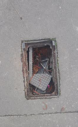 Wastewater/Stormwater —
 this was reported on 17th of june the box lid is now completely smashed ready for someone to step in and break an ankle.
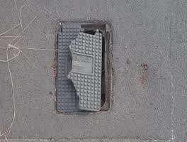 Wastewater/Stormwater —
 broken meter box lid.
Also reported on Cranford Street
- 131 Cranford Street — 19 reports
- 127 Cranford Street — 18 reports
- 186 Cranford Street — 14 reports
- 117 Cranford Street — 12 reports
- 321 Cranford Street — 10 reports
- 30 Cranford Street — 9 reports
- 293A Cranford Street — 9 reports
- 242 Cranford Street — 9 reports
The street’s crash record
NZTA’s record names Cranford Street in 113 crashes that hurt somebody since 2006 — 1 person killed, 15 seriously hurt.
The green nearby
- St Albans Tennis Club — 344 m to the edge · Sports ground
- English Park — 406 m to the edge · Sports ground · 3 ha
- St Albans Park — 450 m to the edge · Sports ground · 6 ha
- Packe Reserve — 481 m to the edge
Parks within half a kilometre, measured to the boundary — the council’s open data.
On the doorstep
- St John Edgeware — 38 m away · Op shops
- Harcourts — 46 m away · Real estate
- Saket Indian — 46 m away · Restaurants
- Tomi — 54 m away · Restaurants
Businesses within four hundred metres, measured at the pin — OpenStreetMap and the council directories.
The bus nearby
- Cranford St near Edgeware Rd — 38 m away · route 27
- Cranford St near Cornwall St — 86 m away · route 27
The closest Metro stops, within four hundred and fifty metres.
The tracks through here
- Walk and bike track through Saint Albans — 167 m to the line · walk · bike
- Walk and bike track through Saint Albans — 206 m to the line · walk · bike
Tracks whose line passes within half a kilometre, measured to the line itself — the council’s open data.
The named ground
Named water within 500 m of this address, measured to the line or the edge; the council’s own structure register — bridges, boardwalks and steps standing nearby — the open map’s record.
Renting nearby
new bonds in Saint Albans ran about $514 a week — $36 below the city median of $550 — the suburb page keeps the rent record →.
The civic layer
This ground votes in Innes ward — the Papanui-Innes-Central community board. Ward lines don’t always follow suburb lines; this one is measured at the pin, not the suburb’s centre.
What stood on this ground → · On the map → · From the air — the Crown’s aerials back to 1936; search the address on RetroLens →
Questions, answered briefly
18 council reports on record since June 2020 — most often graffiti (4), wastewater/stormwater (2), graffiti somewhere else (2).
Saint Albans, Christchurch — on Cranford Street.
Nothing on the heritage register at this exact spot — the record around this ground →
St Albans Tennis Club — 344 m to its edge.