2 Sparks Road, Somerfield
22 reports on record since January 2019 · 15 with photographs. The most-reported address on Sparks Road. Indicative rating valuation and school zones, hazards, bin day and what stood here before.
What gets reported here
- Rubbish/Recycling — 7
- Graffiti — 3
- Roads - General — 2
- Roading/Streets — 2
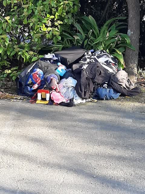
- Dumped Rubbish — 2
- Water Leak — 1
Photographed here 15 on record


Reported here
 Street Gutters / Storm Water —
 I don’t think the sediment protection for this sump was effective, it moved when the fence fell in a wind storm and I don’t think it was rei
 Roads - General —
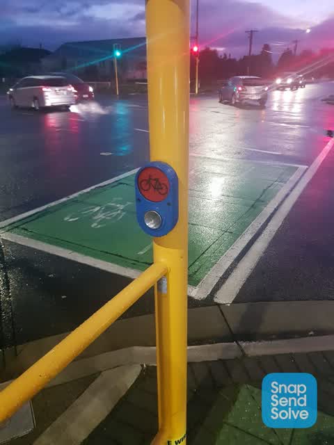
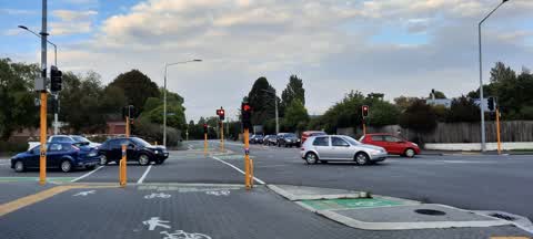
 Sparks Rd intersection Lyttleton St traffic lights. The traffic detection loop on the bicycle path in the north-east direction on Sparks Rd
- Graffiti —
- Overgrown Vegetation —
- Graffiti —
- Dumped Rubbish —
- Dumped Rubbish —
- Roads - General —
- Vandalism - General —
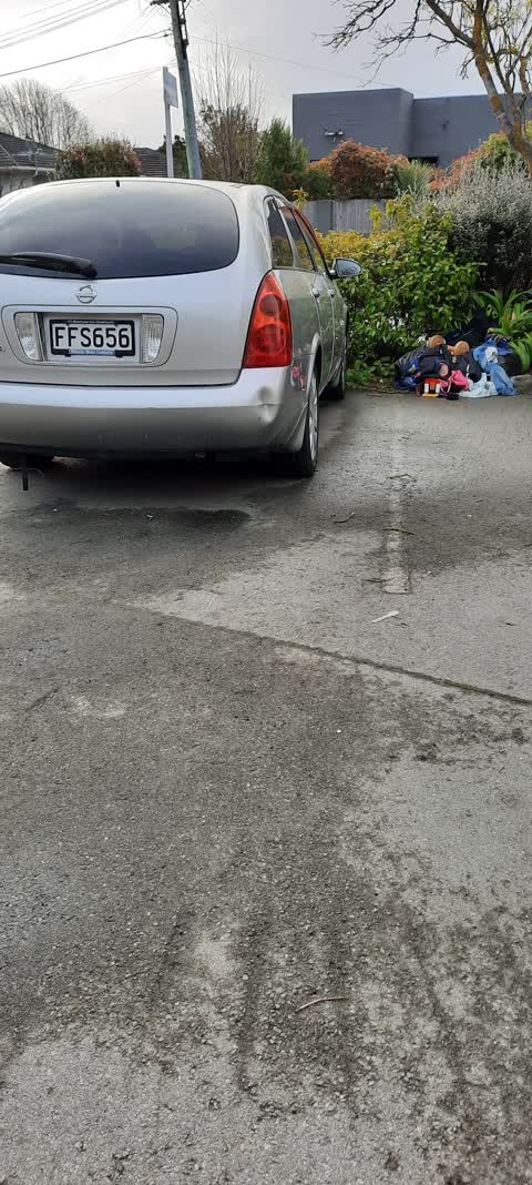
 Hazard — vehicle —
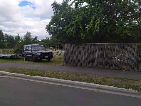
 In bike lane 2.55 and still there at 3.10 when went past again
 Water Leak —
 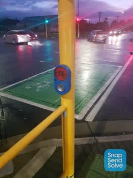 Street Light Outage —
 When pressed the bike button lights on post no. 9 and no. 10 do not light up. They also do not activate when riding a bike over the sensors
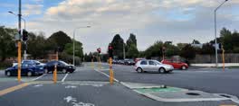 Roading/Streets —
 Cycle crossing light, cnr Lyttelton & Frankleigh Streets. This is continuously turning on when not manually pressed or bike on diamonds. Ca
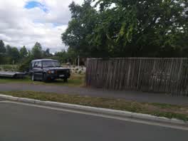 Roading/Streets —
 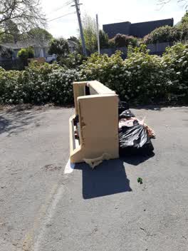 Rubbish/Recycling —
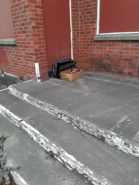
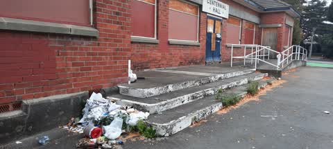
 Outside centennial hall
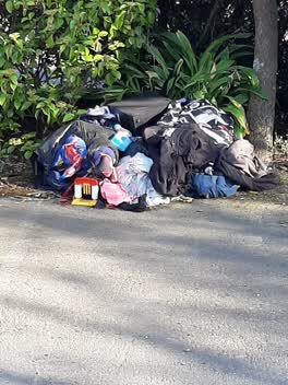 Rubbish/Recycling —
 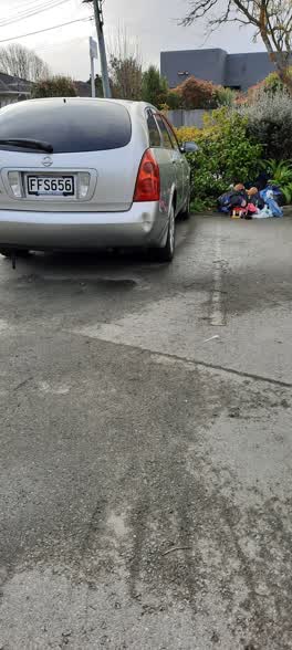 Rubbish/Recycling —
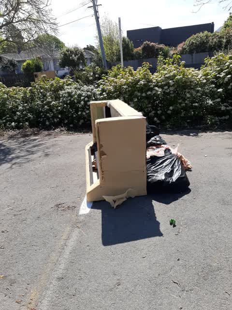
 Dumped rubbish outside old Centennial Hall
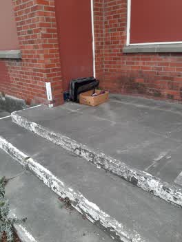 Rubbish/Recycling —
 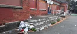 Rubbish/Recycling —
 was a red bin here yesterday now just rubbish
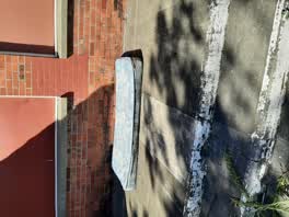 Rubbish/Recycling —
 outside centennial hall
Rubbish/Recycling —
Graffiti —
Also reported on Sparks Road
- 1 Sparks Road — 12 reports
- 48 Sparks Road — 9 reports
- 52 Sparks Road — 7 reports
- 29 Sparks Road — 7 reports
- 27–29 Sparks Road — 6 reports
- 39A Sparks Road — 5 reports
- 25 Sparks Road — 4 reports
- 50 Sparks Road — 3 reports
The street’s crash record
NZTA’s record names Sparks Road in 18 crashes that hurt somebody since 2006 — 5 seriously hurt, nobody killed.
The green nearby
- Centennial Park — 156 m to the edge · Sports ground · 10 ha
- Hoon Hay Scouts Reserve — 344 m to the edge
- Rydal Reserve — 499 m to the edge
Parks within half a kilometre, measured to the boundary — the council’s open data.
The civic shelf nearby
- Pioneer — 292 m away · Recreation centre · 61 Lyttelton Street
Libraries, halls and the rest within half a kilometre — the council’s open data.
On the doorstep
- Plunge Cafe — 299 m away · Cafés
- Pioneer Recreation and Sport Centre — 311 m away · Sports centres
- Lyttelton Street Dairy — 343 m away · Dairies & convenience
- Stourbridge Fish & Chips — 345 m away · Fast food
Businesses within four hundred metres, measured at the pin — OpenStreetMap and the council directories.
The bus nearby
- Lyttelton St near Glue Pl — 28 m away · the Orbiter (clockwise)
- Lyttelton St — 43 m away · the Orbiter (anticlockwise)
The closest Metro stops, within four hundred and fifty metres.
The tracks through here
- Walk and bike track through Somerfield — 41 m to the line · walk · bike
- Walk and bike track through Somerfield — 191 m to the line · walk · bike
Tracks whose line passes within half a kilometre, measured to the line itself — the council’s open data.
The named ground
Named water within 500 m of this address, measured to the line or the edge — the open map’s record.
Renting nearby
new bonds in Somerfield ran about $567 a week — $17 above the city median of $550 — the suburb page keeps the rent record →.
The civic layer
This ground votes in Cashmere ward — the Spreydon-Cashmere-Heathcote community board. Ward lines don’t always follow suburb lines; this one is measured at the pin, not the suburb’s centre.
What stood on this ground → · On the map → · From the air — the Crown’s aerials back to 1936; search the address on RetroLens →
Questions, answered briefly
22 council reports on record since January 2019 — most often rubbish/recycling (7), graffiti (3), roads - general (2).
Somerfield, Christchurch — on Sparks Road.
Nothing on the heritage register at this exact spot — the record around this ground →
Centennial Park — 156 m to its edge, 10 ha.