131 Blighs Road, Strowan
16 reports on record since May 2020 · 14 with photographs. The street’s heaviest record is 120 Blighs Road — 56 reports on file. Indicative rating valuation and school zones, hazards, bin day and what stood here before.
What gets reported here
Photographed here 14 on record



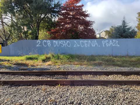
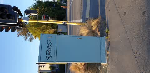
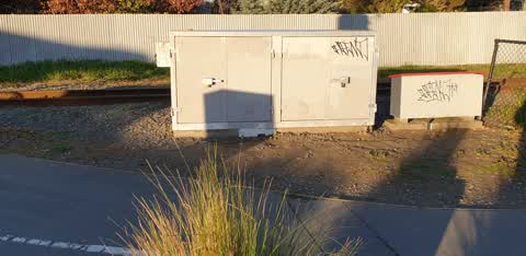
Reported here
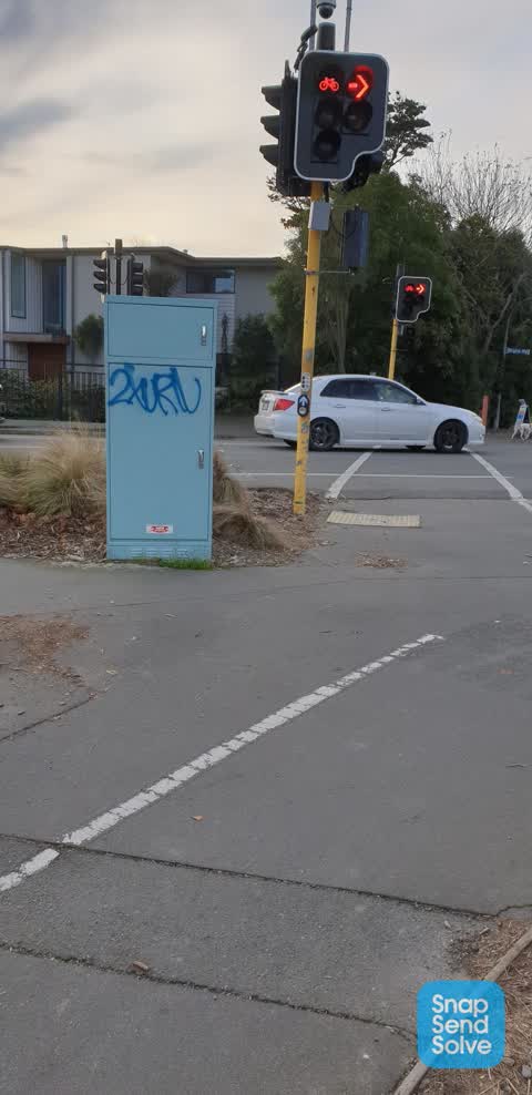
 Graffiti on a traffic light pole or cabinet, or wa —
 traffic signals control box Blighs Rd level crossing
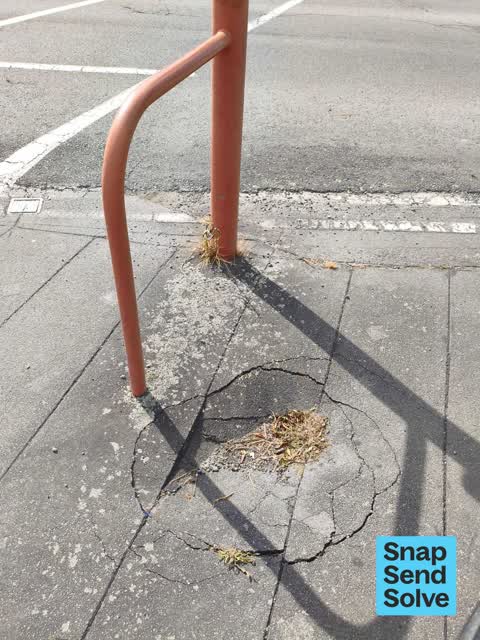
 Pothole —
 pothole has been there for months. thanks for looking into this!
 Pothole —
  Accessibility —
 I have sent you a message earlier today but my email on my profile is out of date. The xtra account has been deleted and my email is now kar
 Graffiti on a cabinet, pole or railway asset —
  Damaged Road —
 This railway crossing is damaged with very uneven surface. It now causes houses to vibrate when heavy vehicles cross over it and is a danger
- Roads - General —
- Graffiti —
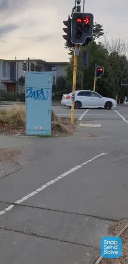 Graffiti —
 Pedestrian signals box? Blighs Rd level crossing
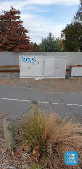 Graffiti —
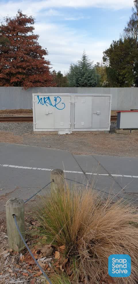
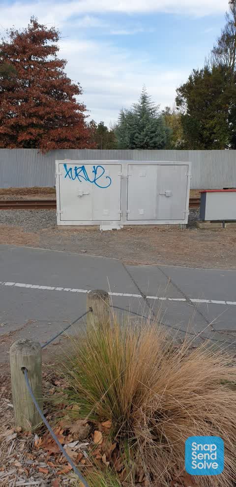
 Train control box? Level crossing Blighs Rd
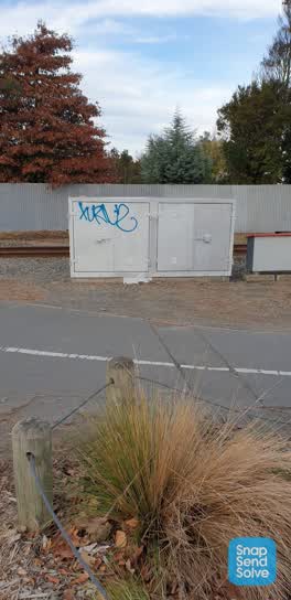 Graffiti —
 Train control box? Level crossing Blighs Rd
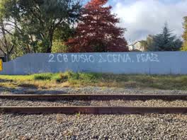 Graffiti —
 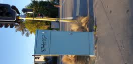 Graffiti —
 on control box at railway level crossing blighs rd
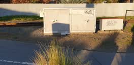 Graffiti —
 on signal boxes? by railway line. south side blighs Rd level crossing
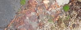 Water Supply —
 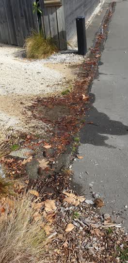 Water Supply —
 water leak from Toby by property immediately south west of railway crossing
Also reported on Blighs Road
- 120 Blighs Road — 56 reports
- 68 Blighs Road — 19 reports
- 1 Blighs Road — 10 reports
- 135 Blighs Road — 9 reports
- 121 Blighs Road — 9 reports
- 88 Blighs Road — 7 reports
- 55 Blighs Road — 7 reports
- 115 Blighs Road — 7 reports
The street’s crash record
NZTA’s record names Blighs Road in 26 crashes that hurt somebody since 2006 — 2 seriously hurt, nobody killed.
The green nearby
- St James Park — 299 m to the edge · Sports ground · 4 ha
Parks within half a kilometre, measured to the boundary — the council’s open data.
On the doorstep
- The Bellevue — 216 m away · Business
- Lilac Rose Boutique Bed and Breakfast — 271 m away · B&Bs
- Hao Eatery — 272 m away · Restaurants
- Christchurch Fine Violins — 293 m away · Musical Instrument
Businesses within four hundred metres, measured at the pin — OpenStreetMap and the council directories.
The tracks through here
- Walk and bike track through Strowan — 4 m to the line · walk · bike
- Walk and bike track through Strowan — 46 m to the line · walk · bike
- Walk and bike track through Strowan — 61 m to the line · walk · bike
- Walk and bike track through Strowan — 290 m to the line · walk · bike
- Walk and bike track through Strowan — 312 m to the line · walk · bike
Tracks whose line passes within half a kilometre, measured to the line itself — the council’s open data.
The named ground
Named water within 500 m of this address, measured to the line or the edge — the open map’s record.
Renting nearby
new bonds in Strowan ran about $620 a week — $70 above the city median of $550 — the suburb page keeps the rent record →.
The civic layer
This ground votes in Fendalton ward — the Fendalton-Waimairi-Harewood community board. Ward lines don’t always follow suburb lines; this one is measured at the pin, not the suburb’s centre.
What stood on this ground → · On the map → · From the air — the Crown’s aerials back to 1936; search the address on RetroLens →
Questions, answered briefly
16 council reports on record since May 2020 — most often graffiti (7), water supply (2), pothole (2).
Strowan, Christchurch — on Blighs Road.
Nothing on the heritage register at this exact spot — the record around this ground →
St James Park — 299 m to its edge, 4 ha.