68 Blighs Road, Strowan
19 reports on record since September 2015 · 14 with photographs. The street’s heaviest record is 120 Blighs Road — 56 reports on file. Indicative rating valuation and school zones, hazards, bin day and what stood here before.
What gets reported here
Photographed here 14 on record


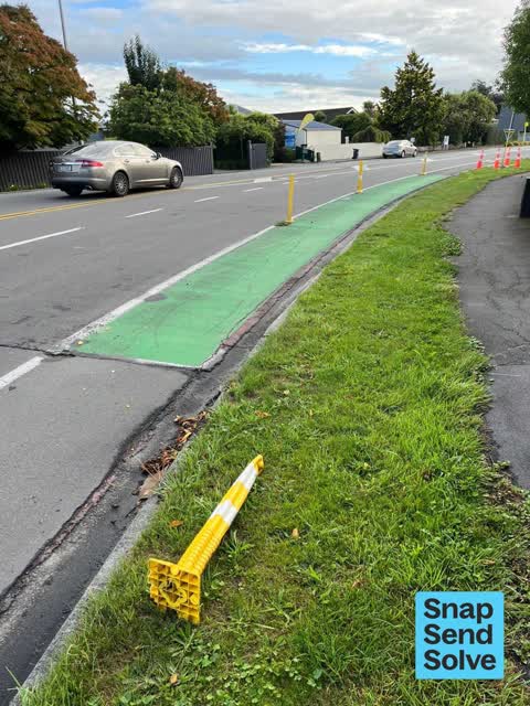


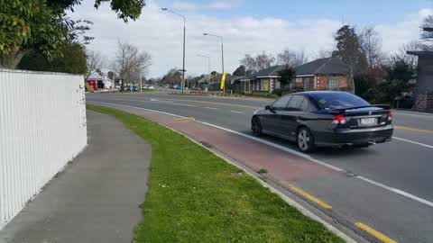
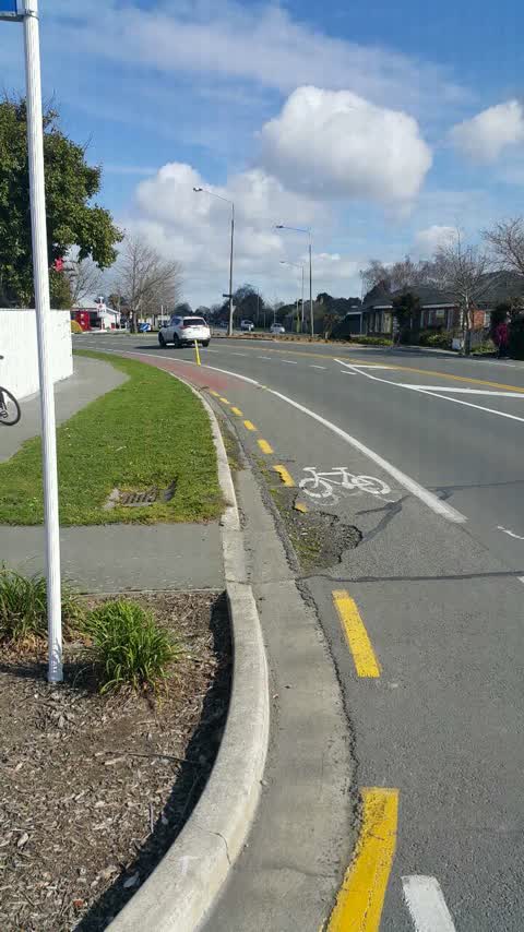
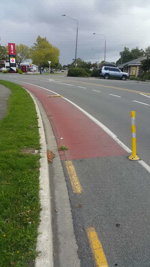
Reported here
 Roads - General —
 A driver has again hit and destroyed a plastic bollard on Blighs and Idris Road corner. I have shifted the broken bollard off the cycle lan
 Roads - General —
 There is a missing flexi-post (south end of the curve) as well as a damaged flexi-post at the Blighs Road and Idris Road intersection. Plea
 Overgrown Vegetation —
 corner of Blighs and Idris - overgrown pathway by stream.
 Roads - General —
 Yet again a driver has hit and knocked over a yellow flexible bollard at the left curve on Blighs Road. This once again highlights a concer
 Roads - General —
 A driver has again hit the flxi poles at the Blighs and Idris Road intersection. One pole at the south end has been completely broken off.
 Roads - General —
 A driver has hit and damaged a flexi pole intended to protect cyclists on the Blighs Road - Idris Road corner. Can this please be repaired
 Damaged Road —
 Pole barrier, separating cycles from cars, is damaged
 Roads - General —
 Yet again the flexi posts intended to protect cyclists have been hit by drivers and knocked off on the left-hand curve on Blighs Road. Curre
 Roads - General —
 - Damaged Road —
- Roads - General —
- Roads - General —
- Poles and Signage - General —
- Damaged Road —
Roading/Streets —
Both cycle lane barriers on corner broken
Roading/Streets —
Bike lane marker broken off
Roading/Streets —
Cycle bollard down
Roading/Streets —
Bike lane barrier broken
Roading/Streets —
Damage to cycle lane protective bollard
Also reported on Blighs Road
- 120 Blighs Road — 56 reports
- 131 Blighs Road — 16 reports
- 1 Blighs Road — 10 reports
- 135 Blighs Road — 9 reports
- 121 Blighs Road — 9 reports
- 88 Blighs Road — 7 reports
- 55 Blighs Road — 7 reports
- 115 Blighs Road — 7 reports
The street’s crash record
NZTA’s record names Blighs Road in 26 crashes that hurt somebody since 2006 — 2 seriously hurt, nobody killed.
The green nearby
- Pitcairn Playground — 232 m to the edge
Parks within half a kilometre, measured to the boundary — the council’s open data.
On the doorstep
- Challenge — 74 m away · Petrol stations
- Hao Eatery — 95 m away · Restaurants
- Blighs Road Auto Service — 97 m away · Car repair
- The Bellevue — 235 m away · Business
Businesses within four hundred metres, measured at the pin — OpenStreetMap and the council directories.
The bus nearby
The closest Metro stops, within four hundred and fifty metres.
The tracks through here
- Walk and bike track through Strowan — 10 m to the line · walk · bike
- Walk and bike track through Strowan — 10 m to the line · walk · bike
- Walk and bike track through Strowan — 226 m to the line · walk · bike
- Walk and bike track through Strowan — 263 m to the line · walk · bike
- Walk and bike track through Strowan — 357 m to the line · walk · bike
Tracks whose line passes within half a kilometre, measured to the line itself — the council’s open data.
Renting nearby
new bonds in Strowan ran about $620 a week — $70 above the city median of $550 — the suburb page keeps the rent record →.
The civic layer
This ground votes in Fendalton ward — the Fendalton-Waimairi-Harewood community board. Ward lines don’t always follow suburb lines; this one is measured at the pin, not the suburb’s centre.
What stood on this ground → · On the map → · From the air — the Crown’s aerials back to 1936; search the address on RetroLens →
Questions, answered briefly
19 council reports on record since September 2015 — most often roads - general (9), roading/streets (5), damaged road (3).
Strowan, Christchurch — on Blighs Road.
Nothing on the heritage register at this exact spot — the record around this ground →
Pitcairn Playground — 232 m to its edge.