119 Tennyson Street, Sydenham
12 reports on record since July 2017 · 10 with photographs. The street’s heaviest record is 137 Tennyson Street — 46 reports on file. Indicative rating valuation and school zones, hazards, bin day and what stood here before.
What gets reported here
- Graffiti — 2
- Accessibility — 2
- Water Leak — 1
- Street Gutters / Storm Water — 1
- Roads - General — 1
- Roading/Streets — 1
Photographed here 10 on record




Reported here
 Abandoned Vehicle —
 This vehicle has been sitting here for 2 months now without moving once, its also just parked on a speed bump on a super busy road and is on
 Roads - General —
 Why are these speed bumps located in the middle of a busy arterial road with 50km/h speed limit, when the safe speed for a speed bump is onl
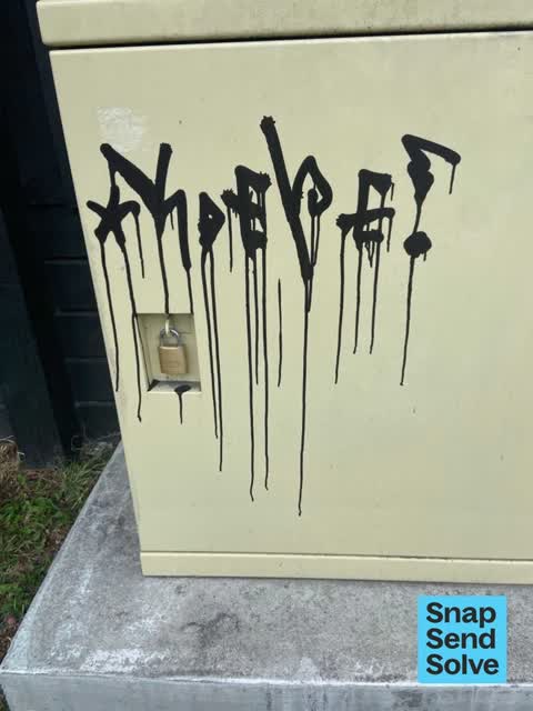
 Graffiti on a traffic light pole or cabinet, or wa —
 Graphite on the front and side of the box
 Accessibility —
 Water leak on footpath and leaking on grass and bike lane Accessibility pretty limited
 Accessibility —
 Water leak or runoff from property consistantly floods footpath
 Water Leak —
  Damaged Road —
 Cycleway breaking up with large fissures. Surface uneven and unsafe. Please fix!
 Street Gutters / Storm Water —
 Blocked drain on Southampton Street at intersection of Tennyson Street & Southampton Street.
- Graffiti —
- Pothole —
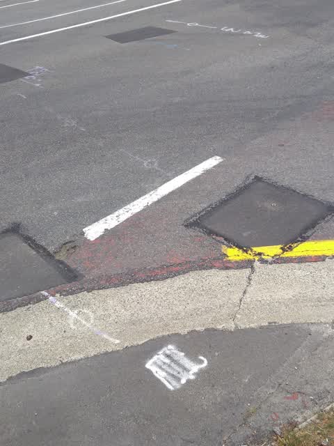
Roading/Streets —
this is another slumped asphalt repair right on the pathway for cyclists to cross off the street onto the cycle path
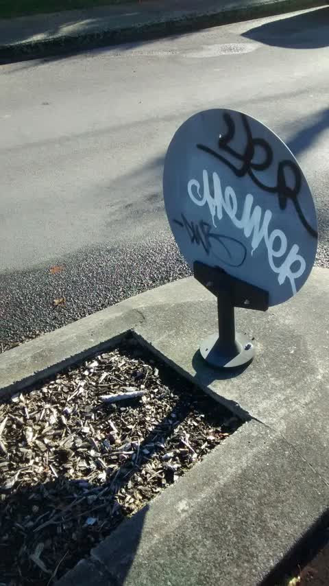
Graffiti —
Also reported on Tennyson Street
- 137 Tennyson Street — 46 reports
- 154 Tennyson Street — 28 reports
- 135 Tennyson Street — 22 reports
- 111 Tennyson Street — 17 reports
- 98 Tennyson Street — 13 reports
- 31 Tennyson Street — 11 reports
- 97 Tennyson Street — 10 reports
- 84 Tennyson Street — 10 reports
The street’s crash record
NZTA’s record names Tennyson Street in 24 crashes that hurt somebody since 2006 — 4 seriously hurt, nobody killed.
The green nearby
- Heathcote Riverbank True Left — 169 m to the edge · 4 ha
- Palatine Native Reserve — 310 m to the edge
- Mabel Howard Reserve — 327 m to the edge
- Beckenham Park — 342 m to the edge · Sports ground · 5 ha
- St Martins Park — 374 m to the edge · Sports ground · 2 ha
Parks within half a kilometre, measured to the boundary — the council’s open data.
On the doorstep
- Roger Street Fish Supply — 399 m away · Fast food
Businesses within four hundred metres, measured at the pin — OpenStreetMap and the council directories.
The tracks through here
- Walk and bike track through Sydenham — 10 m to the line · walk · bike
- Walk and bike track through Sydenham — 128 m to the line · walk · bike
- Walk and bike track through Sydenham — 171 m to the line · walk · bike
- Walk and bike track through Sydenham — 179 m to the line · walk · bike
- Walk and bike track through Sydenham — 188 m to the line · walk · bike
Tracks whose line passes within half a kilometre, measured to the line itself — the council’s open data.
The named ground
Named water within 500 m of this address, measured to the line or the edge — the open map’s record.
Renting nearby
new bonds in Sydenham ran about $518 a week — $32 below the city median of $550 — the suburb page keeps the rent record →.
The civic layer
This ground votes in Heathcote ward — the Spreydon-Cashmere-Heathcote community board. Ward lines don’t always follow suburb lines; this one is measured at the pin, not the suburb’s centre.
What stood on this ground → · On the map → · From the air — the Crown’s aerials back to 1936; search the address on RetroLens →
Questions, answered briefly
12 council reports on record since July 2017 — most often graffiti (2), accessibility (2), water leak (1).
Sydenham, Christchurch — on Tennyson Street.
Nothing on the heritage register at this exact spot — the record around this ground →
Heathcote Riverbank True Left — 169 m to its edge, 4 ha.