98 Tennyson Street, Sydenham
13 reports on record since February 2018 · 12 with photographs. The street’s heaviest record is 137 Tennyson Street — 46 reports on file. Indicative rating valuation and school zones, hazards, bin day and what stood here before.
What gets reported here
- Graffiti — 4
- Roads - General — 2
- Dumped Rubbish — 2
- Rubbish/Recycling — 1
- Roading/Streets — 1
- Pavement - Damaged — 1
Photographed here 12 on record


Reported here
 Hazard — vehicle —
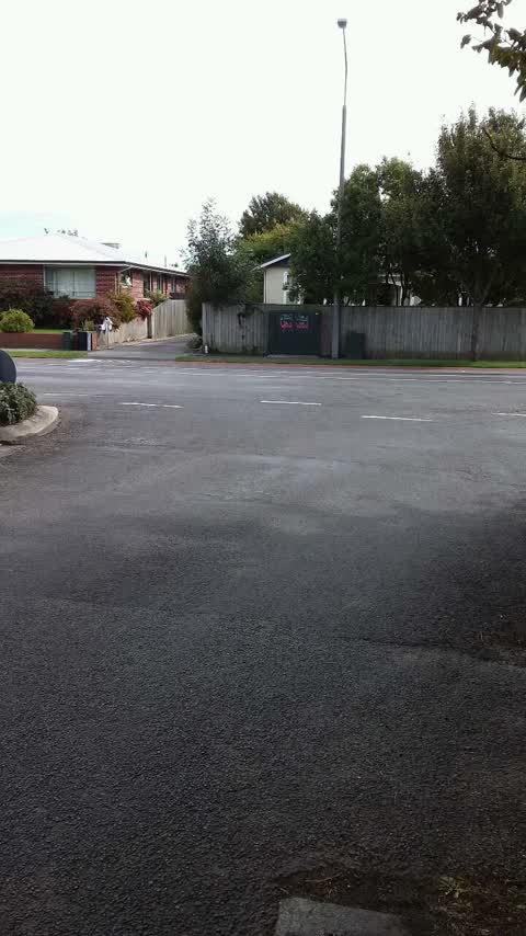
 Car parked outside 88tennyson st, back window smashed. We’ve cleaned the glass off the cycle lane. I don’t know if the owners know it’s been
 Dumped Rubbish —
 Dumped traffic cone at the corner of Norwood and Tennyson Streets needs removal.
 Dumped Rubbish —
 Wooden plank dumped on the pedestrian crossing on Norwood Street corner of Tennyson Street needs removal.
 Roads - General —
 I am writing about the recent resealing of the Tennyson St cycleway. The work is being done by Higgins, by the look of it and is almost comp
 Roads - General —
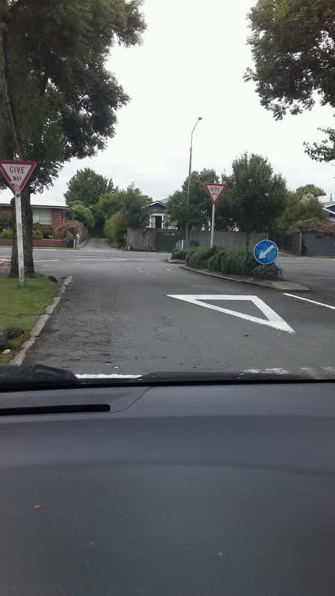
 The speed bumps are ineffective and need replacing with non temporary versions that work as intended- to slow cars down. Many people report
- General Request —
 Pavement - Damaged —
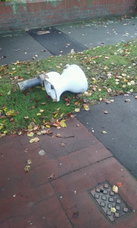
 Exposed water pipes due to erosion
 Roading/Streets —
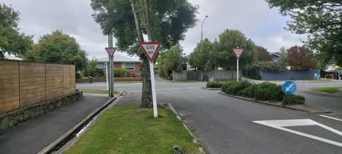
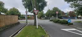
 Hi Team Can you please review the need for 3 x RG 6 Give signs at this intersection as the one on the power pole is probably not needed as
Rubbish/Recycling —
Graffiti —
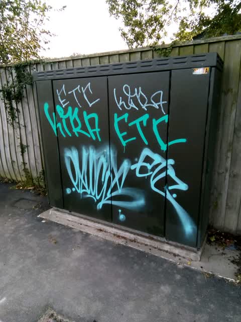
Tagged again C107A
Graffiti —
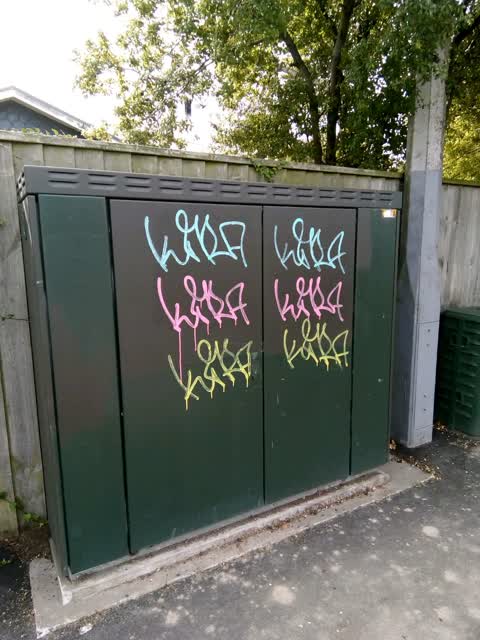
On C107A
Graffiti —
Graffiti —
Also reported on Tennyson Street
- 137 Tennyson Street — 46 reports
- 154 Tennyson Street — 28 reports
- 135 Tennyson Street — 22 reports
- 111 Tennyson Street — 17 reports
- 119 Tennyson Street — 12 reports
- 31 Tennyson Street — 11 reports
- 97 Tennyson Street — 10 reports
- 84 Tennyson Street — 10 reports
The street’s crash record
NZTA’s record names Tennyson Street in 24 crashes that hurt somebody since 2006 — 4 seriously hurt, nobody killed.
The green nearby
- Heathcote Riverbank True Left — 309 m to the edge · 4 ha
- Beckenham Park — 339 m to the edge · Sports ground · 5 ha
- Mabel Howard Reserve — 361 m to the edge
- Waimea Reserve — 391 m to the edge
- Palatine Native Reserve — 413 m to the edge
Parks within half a kilometre, measured to the boundary — the council’s open data.
The tracks through here
- Walk and bike track through Sydenham — 13 m to the line · walk · bike
- Walk and bike track through Sydenham — 14 m to the line · walk · bike
- Walk and bike track through Sydenham — 312 m to the line · walk · bike
- Walk and bike track through Sydenham — 315 m to the line · walk · bike
- Walk and bike track through Sydenham — 330 m to the line · walk · bike
Tracks whose line passes within half a kilometre, measured to the line itself — the council’s open data.
The named ground
Named water within 500 m of this address, measured to the line or the edge — the open map’s record.
Renting nearby
new bonds in Sydenham ran about $518 a week — $32 below the city median of $550 — the suburb page keeps the rent record →.
What was here — Dwelling and Setting
172 m away · 61A Tennyson Street · located to ±11 m · the place’s own record →
On the register. Nothing researched here yet.
What was here — MED Substation and Setting
238 m away · 19E Millar Street · located to ±6 m · the place’s own record →
On the register. Nothing researched here yet.
The civic layer
This ground votes in Cashmere ward — the Spreydon-Cashmere-Heathcote community board. Ward lines don’t always follow suburb lines; this one is measured at the pin, not the suburb’s centre.
What stood on this ground → · On the map → · From the air — the Crown’s aerials back to 1936; search the address on RetroLens →
Questions, answered briefly
13 council reports on record since February 2018 — most often graffiti (4), roads - general (2), dumped rubbish (2).
Sydenham, Christchurch — on Tennyson Street.
The heritage register names 2 places at or beside it — Dwelling and Setting, MED Substation and Setting.
Heathcote Riverbank True Left — 309 m to its edge, 4 ha.