54 Ilam Road, Upper Riccarton
17 reports on record since April 2022 · 13 with photographs. The street’s heaviest record is 39 Ilam Road — 48 reports on file. Indicative rating valuation and school zones, hazards, bin day and what stood here before.
What gets reported here
Photographed here 13 on record




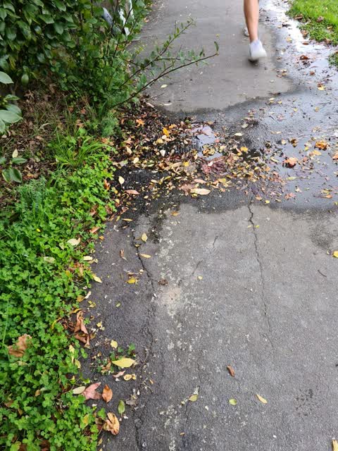
Reported here
 Damaged Street Sign —
 This sign disappeared many months ago but has just returned. Needs installing
 Street Cleaning —
 smashed bottles on cycleway
 Roads - General —
 Broken glass on road and nearby footpath
 Overgrown Vegetation —
 Bushes covering footpath
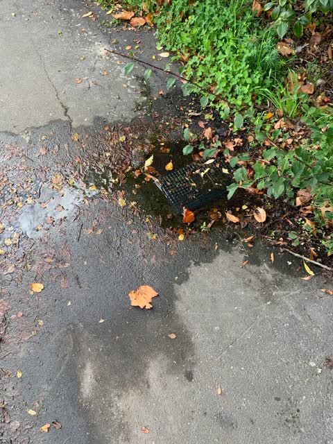
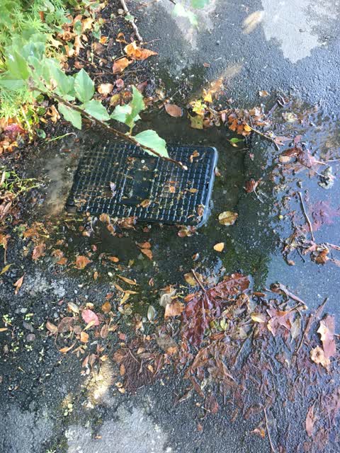
 Pavement - Damaged —
 Looks like a cover is missing
- Pavement - General —
Broken glass in cycle lane needs swept up, also at number 46 Ilam Road broken glass and cycleway
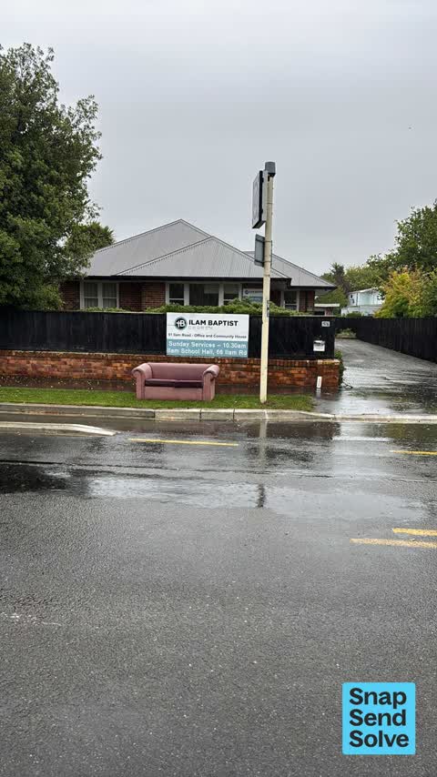
 Dumped Rubbish —
 Ouch dumped outside Ilam Baptist church
 Rubbish and Bins - General —
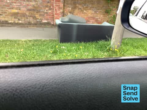
  Dumped Rubbish —
 All on verge outside 52 Ilam Rd
 Rubbish and Bins - General —
 Green bin broke led
- Dumped Rubbish —
- Dumped Rubbish —
- Dumped Rubbish —
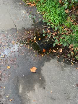 Water Leak —
 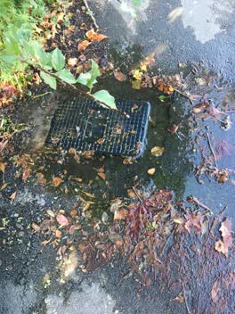 Sewer - Leak / Blockage —
 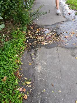 Water Leak —
 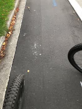 Roading/Streets —
 Broken glass on cycleway
Also reported on Ilam Road
- 39 Ilam Road — 48 reports
- 46 Ilam Road — 17 reports
- 11 Ilam Road — 15 reports
- 35 Ilam Road — 14 reports
- 2 Ilam Road — 13 reports
- 45 Ilam Road — 12 reports
- 47 Ilam Road — 11 reports
- 27 Ilam Road — 11 reports
The street’s crash record
NZTA’s record names Ilam Road in 33 crashes that hurt somebody since 2006 — 2 seriously hurt, nobody killed.
The green nearby
- Milnebank Reserve — 244 m to the edge
- Siska Reserve — 416 m to the edge
- Auburn Reserve — 462 m to the edge · 1 ha
Parks within half a kilometre, measured to the boundary — the council’s open data.
On the doorstep
- Campus Corner Dairy — 140 m away · Dairies & convenience
- Captain Ben's — 141 m away · Fast food
- Foo San — 145 m away · Restaurants
- Foo San Restaurant — 145 m away · Restaurants
Businesses within four hundred metres, measured at the pin — OpenStreetMap and the council directories.
The bus nearby
- Ilam Rd near Kirkwood Ave — 145 m away · route 3, route 100
- University - Ilam Rd — 341 m away · route 3, route 100
The closest Metro stops, within four hundred and fifty metres.
The tracks through here
- Walk and bike track through Upper Riccarton — 9 m to the line · walk · bike
- Walk and bike track through Upper Riccarton — 323 m to the line · walk · bike
- Walk and bike track through Upper Riccarton — 348 m to the line · walk · bike
- Walk and bike track through Upper Riccarton — 393 m to the line · walk · bike
- Walk and bike track through Upper Riccarton — 393 m to the line · walk · bike
Tracks whose line passes within half a kilometre, measured to the line itself — the council’s open data.
The named ground
Named water within 500 m of this address, measured to the line or the edge — the open map’s record.
The civic layer
This ground votes in Riccarton ward — the Halswell-Hornby-Riccarton community board. Ward lines don’t always follow suburb lines; this one is measured at the pin, not the suburb’s centre.
What stood on this ground → · On the map → · From the air — the Crown’s aerials back to 1936; search the address on RetroLens →
Questions, answered briefly
17 council reports on record since April 2022 — most often dumped rubbish (5), water leak (2), rubbish and bins - general (2).
Upper Riccarton, Christchurch — on Ilam Road.
Nothing on the heritage register at this exact spot — the record around this ground →
Milnebank Reserve — 244 m to its edge.