598 Ferry Road, Woolston
19 reports on record since December 2018 · 17 with photographs. The street’s heaviest record is 502 Ferry Road — 59 reports on file. Indicative rating valuation and school zones, hazards, bin day and what stood here before.
What gets reported here
Photographed here 17 on record


Reported here
 Graffiti on a fence, building or structure —
 Woolston village is full of this. it's everywhere. time for a big clean up
 Graffiti on a fence, building or structure —
  Overgrown Vegetation —
 Unkept and overgrown, weedy roadside gardens that detract from the village. The sad thing is that similar ccc neglect would not happen in ot
 Overgrown Vegetation —
 Overgrown roadside garden. Growing weeds and retracting from the public environment.
 Graffiti somewhere else —
  Water Leak —
  Water Leak —
  Graffiti —
 Graffiti on bench
- Water Leak —
- General - Abandoned Trolley —
Water Supply —
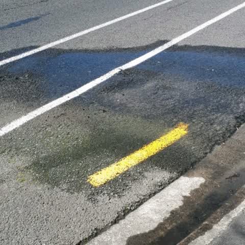
water coming from road
Rubbish/Recycling —
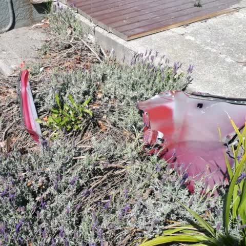
fly dumped car parts
Water Supply —
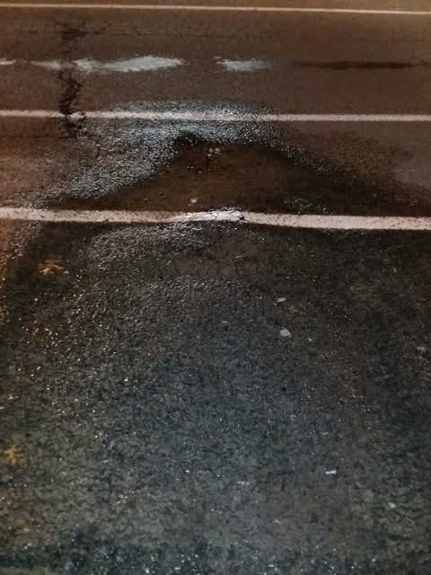
broken water main under the road
Water Supply —
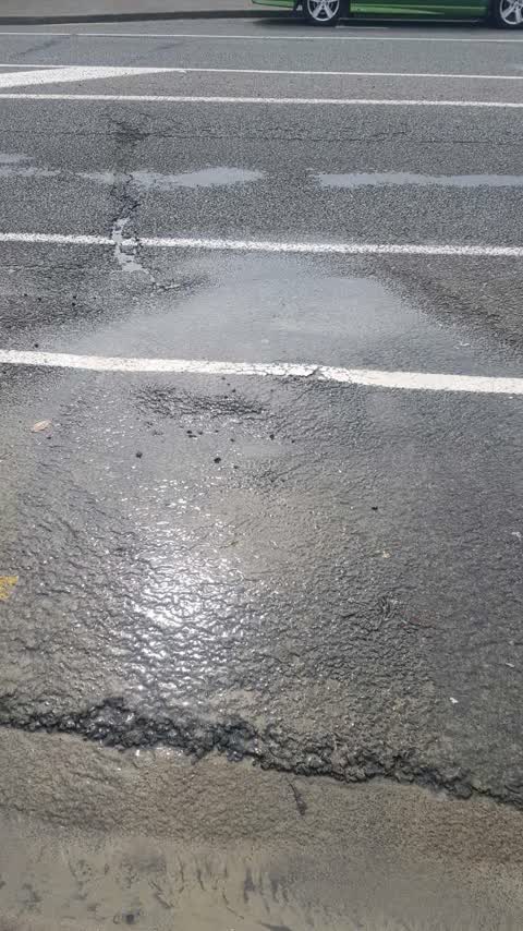
burst pipe under road. quite a string flow and appears to be undermining road surface in driving lane
Water Supply —
water leak from a main coming up through pavement send city care to advise
Rubbish/Recycling —
Abandoned furniture
Graffiti —
Rubbish/Recycling —
Graffiti —
Also reported on Ferry Road
- 502 Ferry Road — 59 reports
- 690 Ferry Road — 43 reports
- 689 Ferry Road — 40 reports
- 564 Ferry Road — 33 reports
- 583 Ferry Road — 32 reports
- 800 Ferry Road — 30 reports
- 608 Ferry Road — 30 reports
- 560 Ferry Road — 30 reports
The street’s crash record
NZTA’s record names Ferry Road in 192 crashes that hurt somebody since 2006 — 5 people killed, 43 seriously hurt.
The green nearby
- Connal Reserve — 105 m to the edge · 1 ha
- Laura Kent Reserve — 176 m to the edge
- Radley Park — 216 m to the edge · 3 ha
- Charlotte Lane Park — 222 m to the edge
- Glenroy Reserve — 245 m to the edge
Parks within half a kilometre, measured to the boundary — the council’s open data.
On the doorstep
- Green Chilli — 15 m away · Restaurants
- Ferry Indians — 22 m away · Restaurants
- npd — 22 m away · Petrol stations
- Ferry Indians Restaurant — 26 m away · Restaurants
Businesses within four hundred metres, measured at the pin — OpenStreetMap and the council directories.
The bus nearby
The closest Metro stops, within four hundred and fifty metres.
The tracks through here
- Walk and bike track through Woolston — 22 m to the line · walk · bike
- Walk and bike track through Woolston — 169 m to the line · walk · bike
- Walk and bike track through Woolston — 198 m to the line · walk · bike
- Walk and bike track through Woolston — 227 m to the line · walk · bike
- Walk and bike track through Woolston — 295 m to the line · walk · bike
Tracks whose line passes within half a kilometre, measured to the line itself — the council’s open data.
The named ground
Named water within 500 m of this address, measured to the line or the edge; the council’s own structure register — bridges, boardwalks and steps standing nearby — the open map’s record.
The remembered names nearby
- Limestone Landed Here Was … for Use by Tanneries and Brick… — 157 m away ·
Limestone landed here was … for use by tanneries and brick…
· 2009
Inscribed plaques within two hundred and fifty metres — the register’s pins, not surveyed spots. The whole roll is at /plaques.
Renting nearby
new bonds in Woolston ran about $511 a week — $39 below the city median of $550 — the suburb page keeps the rent record →.
The civic layer
This ground votes in Linwood ward — the Coastal-Burwood-Linwood community board. Ward lines don’t always follow suburb lines; this one is measured at the pin, not the suburb’s centre.
What stood on this ground → · On the map → · From the air — the Crown’s aerials back to 1936; search the address on RetroLens →
Questions, answered briefly
19 council reports on record since December 2018 — most often water supply (4), water leak (3), rubbish/recycling (3).
Woolston, Christchurch — on Ferry Road.
Nothing on the heritage register at this exact spot — the record around this ground →
Connal Reserve — 105 m to its edge, 1 ha.