53 Deans Avenue, Addington
20 reports on record since January 2021 · 12 with photographs. The street’s heaviest record is 3 Deans Avenue — 39 reports on file. Indicative rating valuation and school zones, hazards, bin day and what stood here before.
What gets reported here
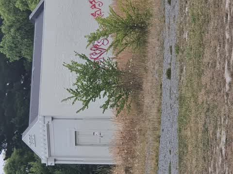
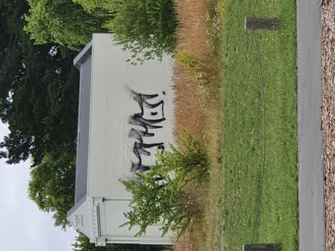
- Graffiti — 12
- Roads - General — 2
- Roading/Streets — 2
- Pothole — 1
- Poles and Signage - General — 1
- Dumped Rubbish — 1
Photographed here 12 on record


Reported here
 Dumped Rubbish —
 If you're coming here from Dean's Ave then it's opposite Hagley Park (lights/crossing/cycleway), it's next to the Dean's Ave car park with t
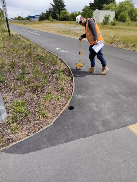
 Pothole —
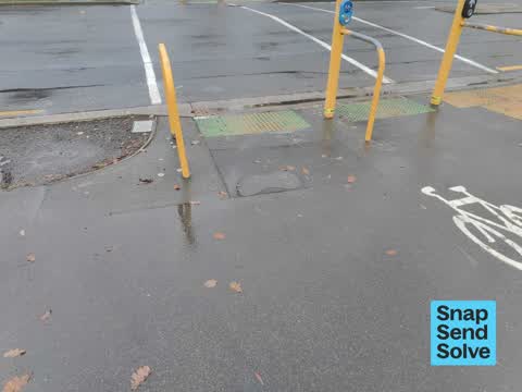
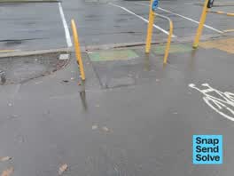
 Pothole on west side of deans Ave right before bike path meets the road. Large and difficult to see when riding.
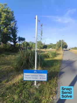 Damaged Street Sign —
  Graffiti —
 - Graffiti —
- Graffiti —
- Graffiti —
- Graffiti —
- Graffiti —
- Roads - General —
- Roads - General —
- Poles and Signage - General —
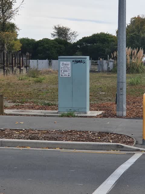
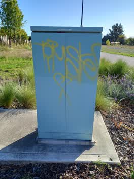 Graffiti —
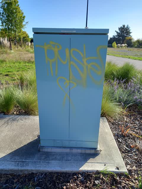
 Deans Ave - Graffiti on the traffic control box for the cycleway lights
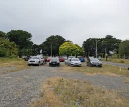 Roading/Streets —
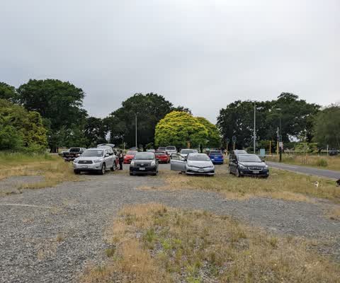
 Cars are parking on the vacant lot. To get there they are driving up the footpath and shared path. There are a lot of people, and especially
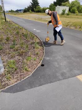 Roading/Streets —
 Sinkhole in footpath
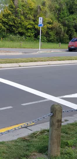 Graffiti —
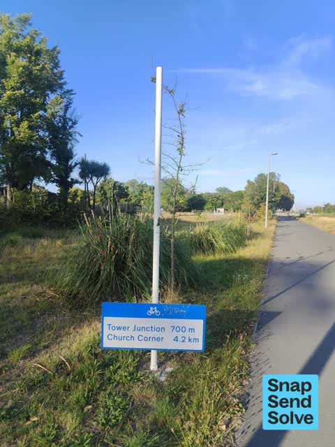
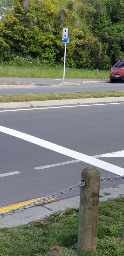
 Share sign on Shared footpath and cycle way opposite Hagley Park by pedestrian traffic signals, through to pope St
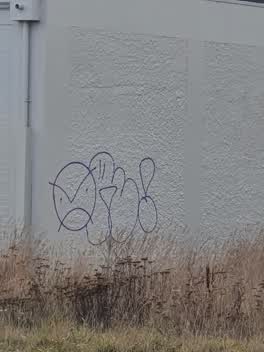 Graffiti —
 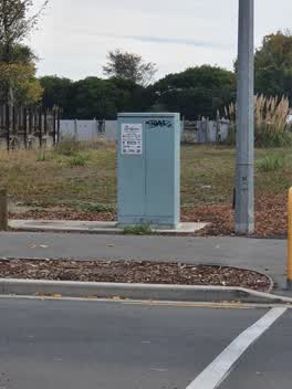 Graffiti —
 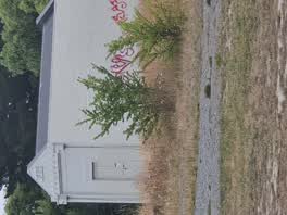 Graffiti —
 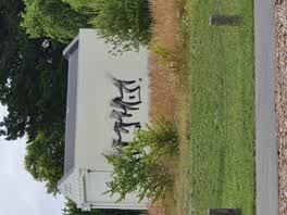 Graffiti —
Also reported on Deans Avenue
- 3 Deans Avenue — 39 reports
- 25 Deans Avenue — 37 reports
- 55 Deans Avenue — 36 reports
- 11 Deans Avenue — 29 reports
- 27 Deans Avenue — 6 reports
- 65 Deans Avenue — 5 reports
- 49 Deans Avenue — 5 reports
- 35 Deans Avenue — 4 reports
The street’s crash record
NZTA’s record names Deans Avenue in 38 crashes that hurt somebody since 2006 — 5 seriously hurt, nobody killed.
The green nearby
- Hagley Park South — 34 m to the edge · Sports ground · 71 ha
- Christchurch Railway Station Reserve — 481 m to the edge · Botanic
Parks within half a kilometre, measured to the boundary — the council’s open data.
On the doorstep
- Punky Brewster — 275 m away · Bars & pubs
- Hagley Oval Pavilion — 305 m away · Venues & events
- Riccarton Cricket Club — 305 m away · Clubs
- PlaceMakers — 335 m away · Hardware
Businesses within four hundred metres, measured at the pin — OpenStreetMap and the council directories.
The tracks through here
- Walk and bike track through Addington — 61 m to the line · walk · bike
- Walk and bike track through Addington — 64 m to the line · walk · bike
- Walk and bike track through Addington — 64 m to the line · walk · bike
- Walk and bike track through Addington — 185 m to the line · walk · bike
- Walk and bike track through Addington — 199 m to the line · walk · bike
Tracks whose line passes within half a kilometre, measured to the line itself — the council’s open data.
The named ground
Named water within 500 m of this address, measured to the line or the edge; Named places within 1.5 km of this address — the open map’s record.
Renting nearby
new bonds in Addington ran about $502 a week — $48 below the city median of $550 — the suburb page keeps the rent record →.
The civic layer
This ground votes in Riccarton ward — the Halswell-Hornby-Riccarton community board. Ward lines don’t always follow suburb lines; this one is measured at the pin, not the suburb’s centre.
What stood on this ground → · On the map → · From the air — the Crown’s aerials back to 1936; search the address on RetroLens →
Questions, answered briefly
20 council reports on record since January 2021 — most often graffiti (12), roads - general (2), roading/streets (2).
Addington, Christchurch — on Deans Avenue.
Nothing on the heritage register at this exact spot — the record around this ground →
Hagley Park South — 34 m to its edge, 71 ha.