147 Fisher Avenue, Beckenham
11 reports on record since October 2019 · 7 with photographs. The street’s heaviest record is 101 Fisher Avenue — 20 reports on file. Indicative rating valuation and school zones, hazards, bin day and what stood here before.
What gets reported here
- Trees - General — 2
- Roading/Streets — 2
- Overgrown Vegetation — 2
- Graffiti — 2
- General Request — 2
- Pavement - General — 1
Photographed here 7 on record


Reported here
 Overgrown Vegetation —
 I have removed overgrown berm that was encroaching on the footpath and road gutter. I have removed as much of the waste as my green bin can
 General Request —
  Trees - General —
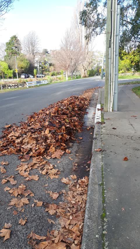
 Autumn leaves building up on Fisher Ave street starting to build up on berm and block street gutters and drainage pits, noting 20-40mm of ra
- Trees - General —
- Overgrown Vegetation —
- Graffiti —
- General Request —
 Pavement - General —
 New grass requires sowing
 Roading/Streets —
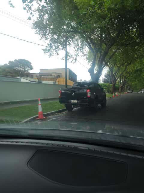
 There are 'no parking' cones down one side of the Fisher Avenue to enable traffic to flow more freely while a large amount of traffic is bei
 Roading/Streets —
 Fisher Ave street tree leaf litter in gutter near River
Graffiti —
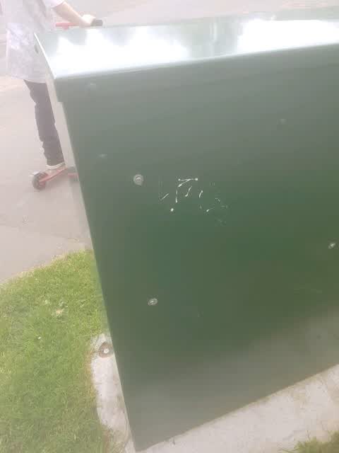
PFS box corner Eastern terrace and Fisher Ave
Also reported on Fisher Avenue
- 101 Fisher Avenue — 20 reports
- 160 Fisher Avenue — 14 reports
- 106 Fisher Avenue — 10 reports
- 104 Fisher Avenue — 10 reports
- 143 Fisher Avenue — 9 reports
- 38 Fisher Avenue — 8 reports
- 123 Fisher Avenue — 7 reports
- 97 Fisher Avenue — 6 reports
The street’s crash record
NZTA’s record names Fisher Avenue in 8 crashes that hurt somebody since 2006 — 3 seriously hurt, nobody killed.
The green nearby
- Heathcote Riverbank True Left — 22 m to the edge · 4 ha
- Palatine Native Reserve — 48 m to the edge
- Beckenham Park — 118 m to the edge · Sports ground · 5 ha
- St Martins Park — 282 m to the edge · Sports ground · 2 ha
- Waimea Reserve — 451 m to the edge
Parks within half a kilometre, measured to the boundary — the council’s open data.
On the doorstep
- Southern Districts Cricket Club — 217 m away · Clubs
- Saint Martins Croquet Club — 323 m away · Sports centres
- St Martins Bowls — 338 m away · Clubs
Businesses within four hundred metres, measured at the pin — OpenStreetMap and the council directories.
The bus nearby
- Gamblins Rd near Ngaio St — 318 m away · the Orbiter (clockwise)
- Centaurus Rd near St Martins Rd — 331 m away · the Orbiter (anticlockwise)
The closest Metro stops, within four hundred and fifty metres.
The tracks through here
- Walk and bike track through Beckenham — 20 m to the line · walk · bike
- Walk and bike track through Beckenham — 42 m to the line · walk · bike
- Walk and bike track through Beckenham — 171 m to the line · walk · bike
- Walk and bike track through Beckenham — 195 m to the line · walk · bike
- Walk and bike track through Beckenham — 222 m to the line · walk · bike
Tracks whose line passes within half a kilometre, measured to the line itself — the council’s open data.
The named ground
Named water within 500 m of this address, measured to the line or the edge; the council’s own structure register — bridges, boardwalks and steps standing nearby — the open map’s record.
The remembered names nearby
- In Memory of Owen Wilkes 1940 — 2005 International Peace — 154 m away ·
IN MEMORY OF OWEN WILKES 1940 — 2005 INTERNATIONAL PEACE ACTIVIST, RESEARCHER, ARCHAEOLOGI
· 2008 - This Tree Was Planted in Loving Memory of Lynn Taylor 1950 — 199 m away ·
This tree was planted in loving memory of Lynn Taylor 1950 - 2005 who loved Beckenham and
· 2008
Inscribed plaques within two hundred and fifty metres — the register’s pins, not surveyed spots. The whole roll is at /plaques.
Renting nearby
new bonds in Beckenham ran about $620 a week — $70 above the city median of $550 — the suburb page keeps the rent record →.
The civic layer
This ground votes in Cashmere ward — the Spreydon-Cashmere-Heathcote community board. Ward lines don’t always follow suburb lines; this one is measured at the pin, not the suburb’s centre.
What stood on this ground → · On the map → · From the air — the Crown’s aerials back to 1936; search the address on RetroLens →
Questions, answered briefly
11 council reports on record since October 2019 — most often trees - general (2), roading/streets (2), overgrown vegetation (2).
Beckenham, Christchurch — on Fisher Avenue.
Nothing on the heritage register at this exact spot — the record around this ground →
Heathcote Riverbank True Left — 22 m to its edge, 4 ha.