452 Linwood Avenue
8 council reports since October 2018, 7 carrying a photograph. The street’s heaviest record is 701 Linwood Avenue, 141 reports on file.
On the register here
- Canterbury Crematorium and Setting, 447 Linwood Avenue (88m)
From the air, then
Sourced from Canterbury Maps and partners. LINZ, CC BY 3.0 NZ. Each frame is cut from Environment Canterbury’s historic imagery MapServer for that decade, only where the Footprints layer names a CC BY survey (NZAM-covered spots stay out). RetroLens holds more Crown aerials →
The green nearby
- Cutler Park, 215 m to the edge · playground, 7 pieces
- Cypress Garden Reserve, 383 m to the edge · Sports ground · 4 ha
- Linwood Esplanade Reserve, 462 m to the edge
Parks within half a kilometre, measured to the boundary, the council’s open data. The whole roll is at /parks.
The civic shelf nearby
- Bromley Cemetery, 37 m away · Cemetery
Libraries, halls and the rest within half a kilometre, the council’s open data.
On the doorstep
- Chicken To Go, 202 m away · Fast food
- BP Linwood, 207 m away · Petrol stations
- Glenbyre Liquor Centre, 210 m away · Bottle stores
- BP 2go, 212 m away · Dairies & convenience
Businesses within four hundred metres, measured at the pin, OpenStreetMap and the council directories.
The bus nearby
- Hargood St and Linwood Ave, 49 m away · route 140
- Linwood Ave near Keighleys Rd, 85 m away · route 140
The closest Metro stops, within four hundred and fifty metres.
The tracks through here
- Walk and bike track through Bromley, 12 m to the line · walk · bike
- Walk and bike track through Bromley, 33 m to the line · walk · bike
- Walk and bike track through Bromley, 44 m to the line · walk · bike
- Walk and bike track through Bromley, 152 m to the line · walk · bike
- Walk and bike track through Bromley, 491 m to the line · walk · bike
Tracks whose line passes within half a kilometre, the council’s open data.
The named ground
the council’s own structure register, bridges, boardwalks and steps standing nearby, the open map’s record.
The remembered names nearby
- Albert Wilson, 184 m away ·
ALBERT WILSON
· 2013 - A Tiny Little Moonbeam That Danced Inside our Hearts, 186 m away ·
A tiny little moonbeam that danced inside our hearts A little life is taken before it even
· 2009 - In Memory of Rita Brown & Nerissa Beauty That Love, 190 m away ·
IN MEMORY OF RITA BROWN & NERISSA BEAUTY THAT LOVE HAD CREATED NOW OUR PRESENT FAMILY GRIE
· 2009
Inscribed plaques within two hundred and fifty metres, the register’s pins, not surveyed spots. The whole roll is at /plaques.
Renting nearby
new bonds in Bromley ran about $560 a week, $10 above the city median of $550, the suburb page keeps the rent record →.
What gets reported here
- Traffic Signals, 2
- Trees - General, 1
- Street Cleaning, 1
- Roading/Streets, 1
- Graffiti, 1
- General Request, 1
Photographed here 7 on record


What’s on record
 Traffic Signals, 14 Sept 2026
 The lights between Hargood Street going onto Linwood Ave and straight towards Bromely are only green for 6secs at a time which is a hazard e
 Traffic Signals, 7 Sept 2026
 The traffic signal is not providing enough green light time, especially during the morning peak hours. This causes a large number of vehicle
 Trees - General, 1 Jan 2026
 please trim low hanging branches over cycleway
 General Request, 14 Aug 2025
 There are 5 or 6 sacks containing ? In the waterway. Hargood St looking to the sea.
 Dumped Rubbish, 27 Jan 2025
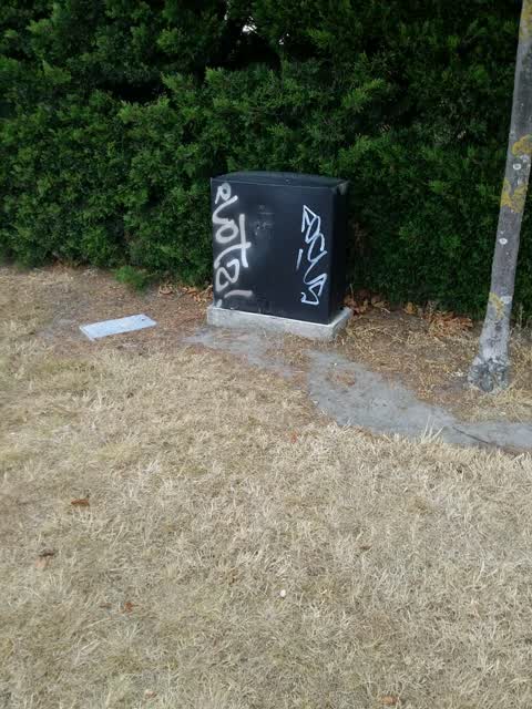
Graffiti, 9 Mar 2020
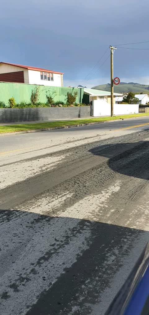
Street Cleaning, 17 Sept 2019
slippery material on road surface
- Roading/Streets, 19 Oct 2018
The cycle way lights at this intersection seem out of sequence. Waited three cycles going to Sumner and light didn't change.
Elsewhere on Linwood Avenue
- 701 Linwood Avenue, 141 reports
- 429 Linwood Avenue, 36 reports
- 434A Linwood Avenue, 25 reports
- 560 Linwood Avenue, 21 reports
- 487 Linwood Avenue, 18 reports
- 427 Linwood Avenue, 15 reports
- 434 Linwood Avenue, 13 reports
- 359 Linwood Avenue, 12 reports
The street’s crash record
NZTA’s record names Linwood Avenue in 107 crashes that hurt somebody since 2006, 1 person killed, 29 seriously hurt.
The civic layer
This ground votes in Linwood ward, the Coastal-Burwood-Linwood community board is its local layer. Ward lines don’t always follow suburb lines; this one is measured at the pin, not the suburb’s centre. The whole roll is at /wards.
Linwood Avenue, the whole record → · Everything about Bromley → · What stood on this ground → · On the map → · From the air, RetroLens holds the Crown’s aerials back to 1936; search the address there →
Questions, answered briefly
8 council reports on record since October 2018, most often traffic signals (2), trees - general (1), street cleaning (1).
Bromley, Christchurch, on Linwood Avenue.
The heritage register names a place at or beside it, Canterbury Crematorium and Setting.
Cutler Park, 215 m to its edge.